Mount Hope in Fayette County, West Virginia — The American South (Appalachia)
The Coming of the Railroads
Mt. Hope
| — | Coal Heritage Trail | — |
Photographed by Craig Doda, March 3, 2024
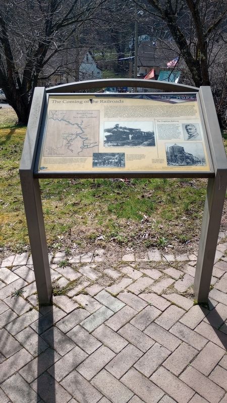
1. The Coming of the Railroads Marker
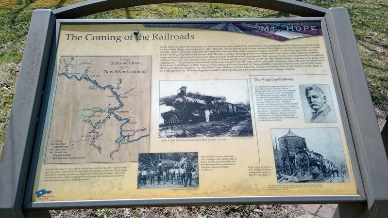
As Mt. Hope emerged, there occurred one of the most important events in the state's history: the Chesapeake & Ohio Railroad, routed through the New River Gorge, was completed in 1873. The C&O was the first railroad to enter southern West Virginia and link the coalfields to outside markets. Nearly overnight, capitalists came from the anthracite fields of Pennsylvania, Virginia, and Ohio to take advantage of the outcrops of New River coal exposed along the rim of the New River Gorge. The high-quality coal seams could be accessed without elaborate shafts or slopes, and soon, miners and railroad men arrived in large numbers to find employment. Coal company towns arose, supported by the railroad facilities, hotels, and coal company offices situated at Thurmond, the gorge's service center. By 1885, eleven mining companies in the gorge were shipping coal. This prosperity undoubtedly spilled over and enlivened Mt. Hope, but the place did not become important until the construction of the Loup Creek Branch in 1894. This short-line railway, built and financed by Thomas McKell, founder of MacDonald Coal & Coke, linked Mt. Hope to
this page online
The Virginian Railway
Henry Huddleston Rogers (pictured to the right) financed and built the Virginian Railway. His interest in coal and railroads began rather late in life when he was in his 60s. In partnership with William Page, a mining engineer, Rogers acquired tracts of coal land in western Fayette County. In order to develop the property it was necessary to have rail service. Keeping his activities secret from competing railroads (Norfolk & Western and C&O), he had surveys completed to build a line that connected Deepwater, WV and the east coast. Originally a combination of his Deepwater and Tidewater Railways, they were consolidated as the Virginian Railway, often considered one of the best built railways as well as one of the most profitable.
Since the New River is not navigable, the coal reserves of the New River coalfield would have been almost impossible to develop without the railroads.
Photographed by Craig Doda, March 3, 2024
2. The Coming of the Railroads Marker
Erected by America's Byways.
Topics and series. This historical marker is listed in these topic lists: Industry & Commerce • Natural Resources • Railroads & Streetcars. In addition, it is included in the Coal Heritage Trail series list. A significant historical year for this entry is 1873.
Location. 37° 53.443′ N, 81° 10.305′ W. Marker is in Mount Hope, West Virginia, in Fayette County. It is on Main Street (West Virginia Route 211) 0.1 miles east of North Michigan Avenue, on the right when traveling east. Touch for map. Marker is at or near this postal address: 267 Main Street, Mount Hope WV 25880, United States of America. Touch for directions.

Regionally, this marker is in the New River Gorge and in Greater Charleston Area. It is also in the American South, specifically in the Upper South, in Appalachia, and specifically in Southern Appalachia. Globally, it is
Photographed by Craig Doda, March 3, 2024
3. The Coming of the Railroads Marker
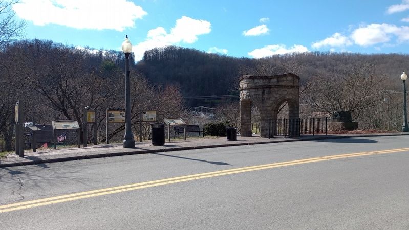
Other nearby markers. At least 8 other markers are within walking distance of this marker: New River Coalfield (here, next to this marker); Phoenix City of the New River (here, next to this marker); Mine Safety (here, next to this marker); The Coal Companies (here, next to this marker); The Dunloup Creek Watershed (approx. 0.2 miles away); a different marker also named The Dunloup Creek Watershed (approx. 0.2 miles away); a different marker also named The Dunloup Creek Watershed (approx. 0.2 miles away); World War I Memorial (approx. ¼ mile away). Touch for a list and map of all markers in Mount Hope.
Photographed by Craig Doda, March 3, 2024
4. The Coming of the Railroads Marker
Credits. This page was last revised on March 15, 2024. It was originally submitted on March 8, 2024, by Craig Doda of Napoleon, Ohio. This page has been viewed 316 times since then and 54 times this year. Photos: 1, 2, 3, 4. submitted on March 8, 2024, by Craig Doda of Napoleon, Ohio. • Devry Becker Jones was the editor who published this page.
