Mount Hope in Fayette County, West Virginia — The American South (Appalachia)
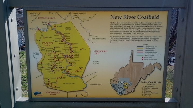
New River Coalfield
Mt. Hope
| — | Coal Heritage Trail | — |
Photographed by Craig Doda, March 3, 2024
1. New River Coalfield Marker
The development of the coalfield coincided with the extension of rail lines of the C&O and the Virginian Railway. The first coal from this field was shipped in 1873 on the C&O from a mine operated by Joseph Lawton Beury, located at Quinnimont.
Southern West Virginia Coalfields
1-Winding Gulf
2-Flat Top/Pocahontas
3-Logan
4-Williamson
5-Kanawha - Coal River
6-New River
7- Greenbrier
Topics and series. This historical marker is listed in these topic lists: Industry & Commerce • Natural Resources. In addition, it is included in the Coal Heritage Trail series list. A significant historical year for this entry is 1873.
Location. 37° 53.442′ N,
this page online

Regionally, this marker is in the New River Gorge and in Greater Charleston Area. It is also in the American South, specifically in the Upper South, in Appalachia, and specifically in Southern Appalachia. Globally, it is in North America, the Western Hemisphere, the Western World, and the Anglosphere. Historically, it finds itself in what was once the territory of the Mississippian Culture.
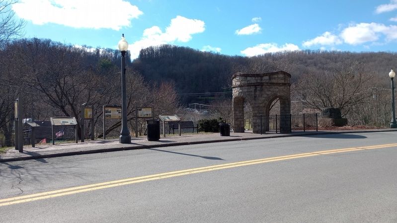
Other nearby markers. At least 8 other markers are within walking distance of this marker: Phoenix City of the New River (here, next to this marker); Mine Safety (here, next to this marker); The Coming of the Railroads (here, next to this marker); The Coal Companies (here, next to this marker); The Dunloup Creek Watershed (approx. 0.2 miles away); a different marker also named The Dunloup Creek Watershed (approx. 0.2 miles away); a different marker
Photographed by Craig Doda, March 3, 2024
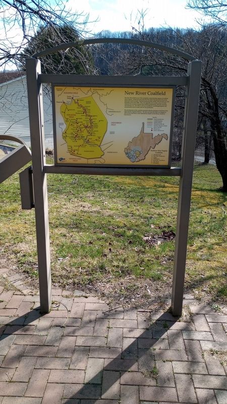
2. New River Coalfield Marker
Photographed by Craig Doda, March 3, 2024
3. New River Coalfield Marker
Photographed by Craig Doda, March 3, 2024
4. New River Coalfield Marker
Credits. This page was last revised on March 13, 2024. It was originally submitted on March 8, 2024, by Craig Doda of Napoleon, Ohio. This page has been viewed 328 times since then and 45 times this year. Photos: 1, 2, 3, 4. submitted on March 8, 2024, by Craig Doda of Napoleon, Ohio. • Andrew Ruppenstein was the editor who published this page.
