Powhatan in Lawrence County, Arkansas — The American South (West South Central)
Powhatan Jail
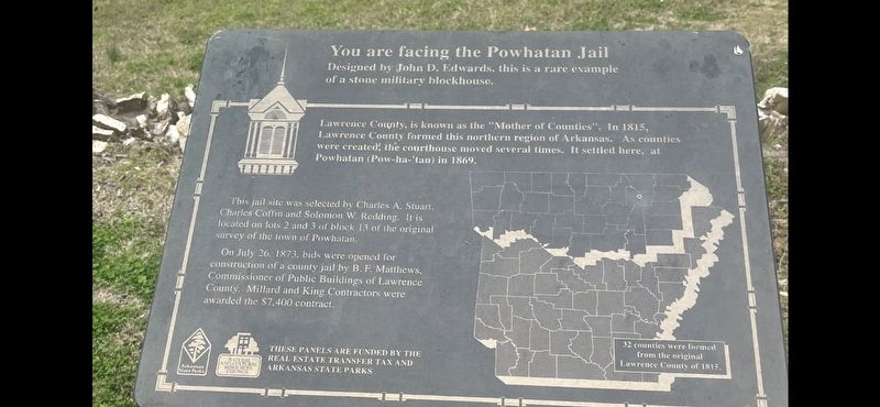
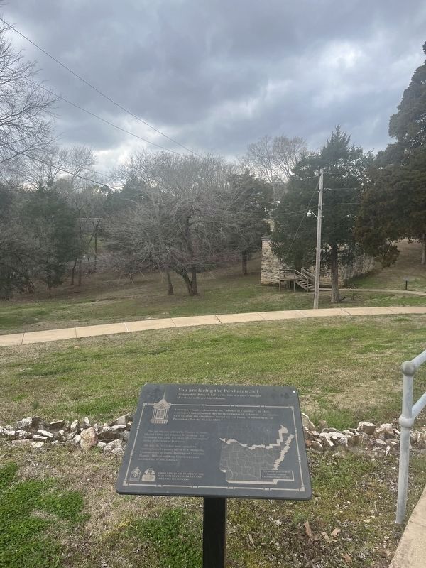
You are facing the Powhatan Jail
Designed by John D. Edwards, this is a rare example of a stone military blockhouse.
Lawrence County, is known as the "Mother of Counties". In 1815, Lawrence County formed this northern region of Arkansas. As counties were created, the courthouse moved several times. It settled here, at Powhatan (Pow-ha-'tan) in 1869.
This jail site was selected by Charles A. Stuart, Charles Coffin and Solomon W. Redding. It is located on lots 2 and 3 of block 13 of the original survey of the town of Powhatan.
On July 26, 1873, bids were opened for construction of a county jail by B. F. Matthews, Commissioner of Public Buildings of Lawrence County. Millard and King Contractors were awarded the $7,400 contract.
THESE PANELS ARE FUNDED BY THE REAL ESTATE TRANSFER TAX AND ARKANSAS STATE PARKS
(caption) 32 counties were formed from the original Lawrence County of 1815.
Erected by Arkansas State Parks, Natural and Cultural Resources Council.
Topics. This historical marker is listed in these topic lists: Government & Politics • Law Enforcement. A significant historical year for this entry is 1873.
Location. 36° 4.922′ N, 91° 7.155′ W. Marker is in Powhatan, Arkansas, in Lawrence County. Marker can be reached from State Highway 25, on the right when traveling east. The marker is located in Powhatan Historic State Park, at the edge of the parking lot on the west side of the courthouse. Touch for map. Marker is at or near this postal address: 4414 Ar 25, Powhatan AR 72458, United States of America. Touch for directions.
Other nearby markers. At least 8 other markers are within walking distance of this marker. Changes made to the Jail (within shouting distance of this marker); The Conviction of Samuel Helms (within shouting distance of this marker); Uses of the Jail House (within shouting distance of this marker); Powhatan Courthouse State Park (within shouting distance of this marker); Log Cabin Kitchen (about 400 feet away, measured in a direct line); Log Cabin (about 400 feet away); Commercial Building (about 600 feet away); The Black River (about 600 feet away). Touch for a list and map of all markers in Powhatan.
Credits. This page was last revised on March 8, 2024. It was originally submitted on March 8, 2024, by Thomas Smith of Waterloo, Ill. This page has been viewed 52 times since then. Photos: 1, 2. submitted on March 8, 2024, by Thomas Smith of Waterloo, Ill. • Andrew Ruppenstein was the editor who published this page.

