Rothenburg ob der Tauber in Ansbach, Bavaria, Germany — Central Europe
Heinr. Toppler
Photographed by James Hulse, February 19, 2024
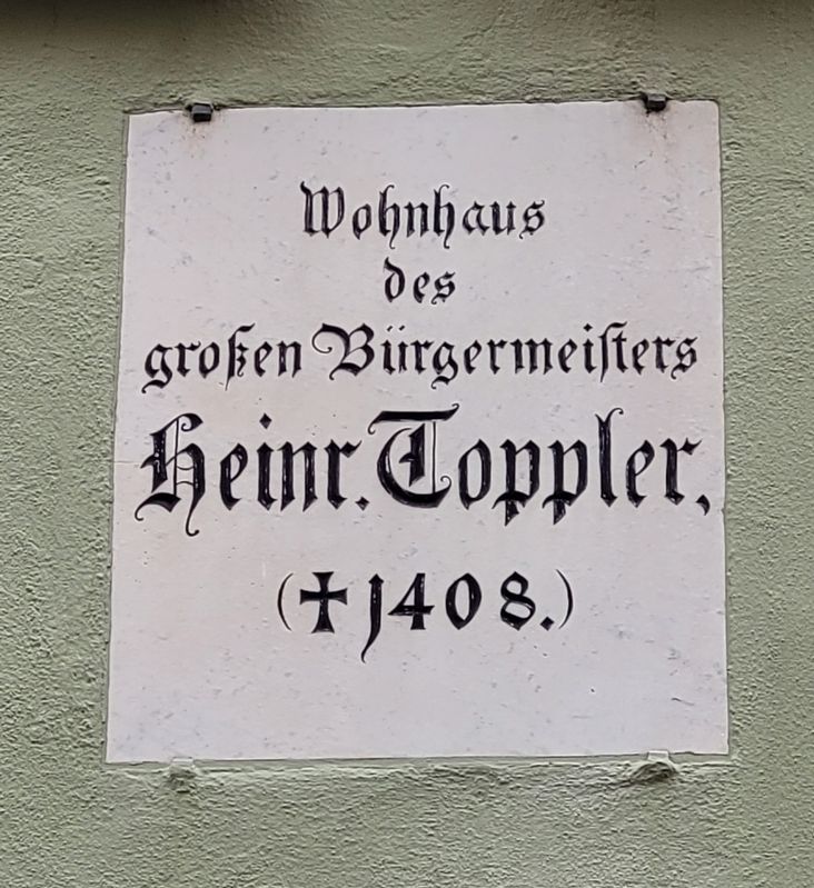
1. Heinr. Toppler Marker

grofen Bürgermeisters
Heinr. Toppler,
(1408.)
the great mayor
Heinrich Toppler,
(1408.)
Topics. This historical marker is listed in this topic list: Notable Buildings.
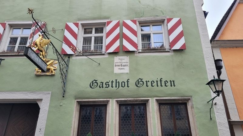
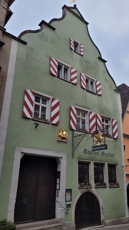
Location. 49° 22.598′ N, 10° 10.767′ E. Marker is in Rothenburg ob der Tauber, Bayern (Bavaria), in Ansbach. It is on Obere Schmiedgasse just south of Herrngasse, on the right when traveling north. The marker is located on the front wall of the building. Touch for map. Marker is at or near this postal address: Ob Schmiedgasse 5, Rothenburg ob der Tauber BY 91541, Germany. Touch for directions.

Regionally, this marker is in German Franconia and on the Romantic Road. Globally, it is in Europe, the European Union, Atlantic Europe, Central Europe, the Schengen Area, Western Europe, and the Western World. Historically, it finds itself in what was once the Holy Roman Empire and also the former West Germany.
Other nearby markers. At least 8 other markers are within walking distance of this marker: Fleischhaus / Meat House (within shouting
this page online
Photographed by James Hulse, February 19, 2024
2. Heinr. Toppler Marker
Photographed by James Hulse, February 19, 2024
3. The Heinr. Toppler House
Credits. This page was last revised on March 10, 2024. It was originally submitted on March 9, 2024, by James Hulse of Medina, Texas. This page has been viewed 109 times since then and 9 times this year. Photos: 1, 2, 3. submitted on March 10, 2024, by James Hulse of Medina, Texas.
