Corydon in Harrison County, Indiana — The American Midwest (Great Lakes)
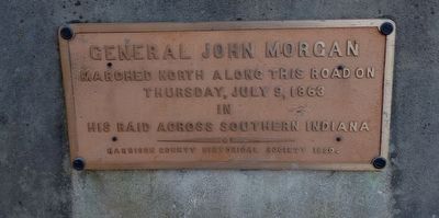
General John Morgan
Thursday, July 9, 1863
in
his raid across Southern Indiana
Erected 1930 by Harrison County Historical Society.
Topics. This historical marker is listed in this topic list: War, US Civil. A significant historical date for this entry is July 9, 1863.
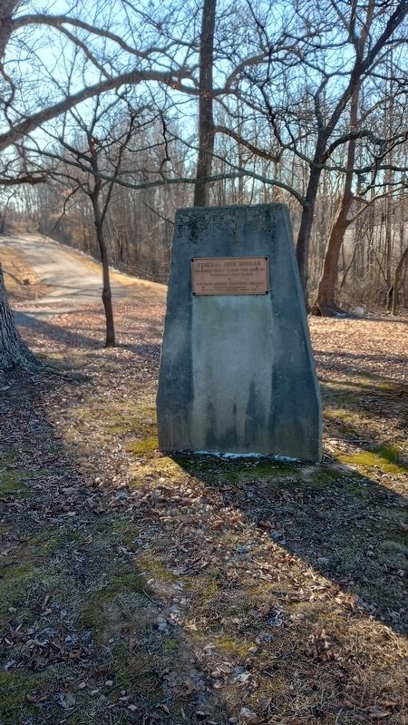
Location. 38° 11.994′ N, 86° 7.81′ W. Marker is in Corydon, Indiana, in Harrison County. Marker can be reached from Old Highway 135 south of South Heidelberg Road (Route 0.1), on the left when traveling south. Located in Battle of Corydon Park. Touch for map. Marker is at or near this postal address: 565 Old Hwy 135, Corydon IN 47112, United States of America. Touch for directions.
Other nearby markers. At least 8 other markers are within walking distance of this marker. Site of the Battle of Corydon (a few steps from this marker); Battle of Corydon (within shouting distance of this marker); Morgan's Confederate Dead (within shouting distance of this marker); The Site of The Battle of Corydon (within shouting distance of this marker); Arville L. Funk (within shouting distance of this marker); Mooring Post and Anchor Chain (about 300 feet away, measured in a direct line); Harrison County (Indiana) Fair (approx. half a mile away); A Fair to Remember (approx. half a mile away). Touch for a list and map of all markers in Corydon.
Credits. This page was last revised on March 12, 2024. It was originally submitted on March 9, 2024, by Craig Doda of Napoleon, Ohio. This page has been viewed 31 times since then. Photos: 1, 2. submitted on March 9, 2024, by Craig Doda of Napoleon, Ohio. • Bernard Fisher was the editor who published this page.

