Richmond Hill in Queens in Queens County, New York — The American Northeast (Mid-Atlantic)
Richmond Hill Branch
Queens Borough Public Library
| — | "Enlightenment of the Community" | — |
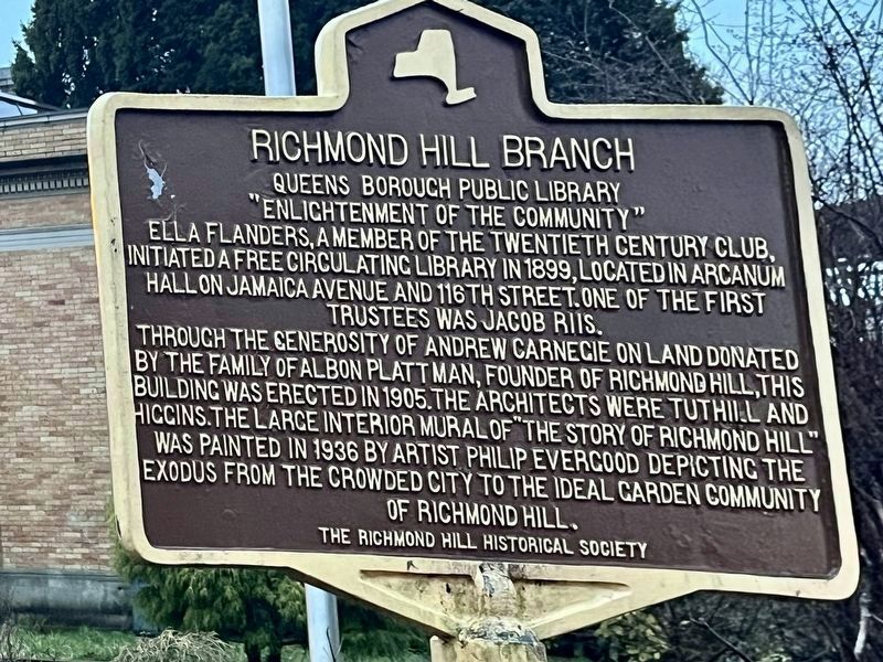
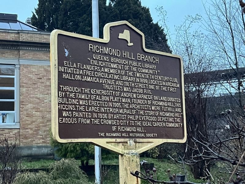
Ella Flanders, a member of the Twentieth Century Club, initiated a free circulating library in 1899, located in Arcanium Hall on Jamaica Avenue and 116th Street. One of the first trustees was Jacob Riis.
Through the generosity of Andrew Carnegie on land donated by the family of Albon Plattman, founder of Richmond Hill, this building was erected in 1905. The architects were Tuthill and Higgins. The large interior mural of "The Story of Richmond Hill" was painted in 1936 by artist Philip Evergood depicting the exodus from the crowded city to the ideal garden community of Richmond Hill.
Erected by The Richmond Hill Historical Society.
Topics and series. This historical marker is listed in these topic lists: Architecture • Arts, Letters, Music • Charity & Public Work • Education. In addition, it is included in the Carnegie Libraries series list. A significant historical year for this entry is 1899.
Location. 40° 42.066′ N, 73° 49.915′ W. Marker is in Queens, New York, in Queens County. It is in Richmond Hill. It is on Hillside Avenue just west of Lefferts Boulevard, on the left when traveling west. Touch for map.
this page online

Regionally, this marker is in New York City and on Long Island. It is also in the American Northeast, in the Mid-Atlantic, and on the Eastern Seaboard. Globally, it is in the North Atlantic Region, North America, the Western Hemisphere, the Western World, and the Anglosphere. Historically, it finds itself in what was once New Netherland and also one of the original Thirteen Colonies.
Other nearby markers. At least 8 other markers are within walking distance of this marker: Church of the Resurrection (about 500 feet away, measured in a direct line); Holy Child Jesus Parish (approx. 0.3 miles away); Sergeant Joseph E. Schaefer Oval (approx. half a mile away); World War I Memorial (approx. half a mile away); Forest Park Centennial Pine Groves (approx. half a mile away); Jayne Carlson Triangle (approx. half a mile away); 1914 Pine Grove and the Memorial Drive Trees (approx. half a mile away); Lt. Frank McConnell Park (approx. half a mile away). Touch for a list and map of all markers in
Photographed by Devry Becker Jones (CC0), March 9, 2024
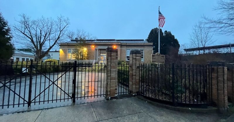
2. Richmond Hill Branch Marker
The library can be seen in the background.
Credits. This page was last revised on March 20, 2026. It was originally submitted on March 10, 2024, by Devry Becker Jones of Washington, District of Columbia. This page has been viewed 228 times since then and 27 times this year. Photos: 1. submitted on March 20, 2026. 2, 3. submitted on March 10, 2024, by Devry Becker Jones of Washington, District of Columbia.
Editor’s want-list for this marker. Clear, daylight photos of the marker and its context. • Can you help?
