Near Chidester in Ouachita County, Arkansas — The American South (West South Central)
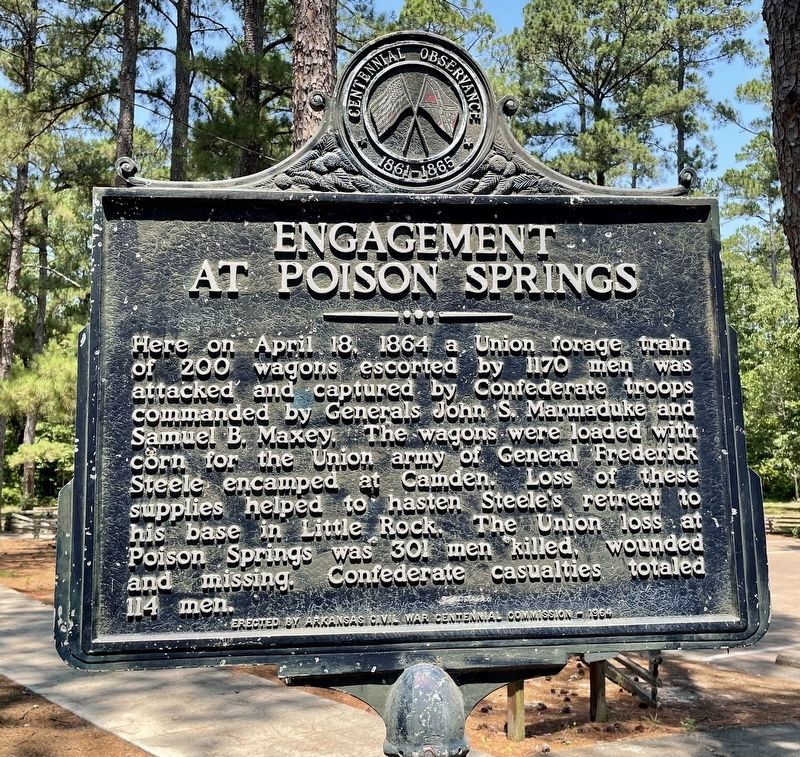
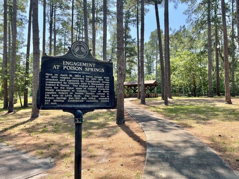
Engagement at Poison Springs
Erected 1964 by Arkansas Civil War Centennial Commission.
Topics. This historical marker is listed in this topic list: War, US Civil. A significant historical date for this entry is April 18, 1864.
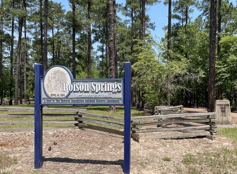
Location. 33° 38.347′ N, 93° 0.271′ W. Marker is near Chidester, Arkansas, in Ouachita County. Marker is on Arkansas Route 76, 1.2 miles west of County Road 100, on the right when traveling west. Located in Poison Springs Battleground State Park. Touch for map. Marker is at or near this postal address: 665 Hwy 76, Chidester AR 71726, United States of America. Touch for directions.
Other nearby markers. At least 8 other markers are within walking distance of this marker. Federal Forage Party Departs Camden April 17, 1864 (within shouting distance of this marker); The First Kansas (within shouting distance of this marker); The Civil War Battle of Poison Spring - April 18, 1864 (within shouting distance of this marker); Confederate and Federal Forces Engage (within shouting distance of this marker); Forage Party Routed! (within shouting distance of this marker); Order of Battle (within shouting distance of this marker); The Battle of Poison Springs. (within shouting distance of this marker); Ouachita County Poison Springs Battlefield (within shouting distance of this marker). Touch for a list and map of all markers in Chidester.
Also see . . . Encyclopedia of Arkansas - Engagement at Poison Spring. Part of the Camden Expedition. (Submitted on June 26, 2022, by Mark Hilton of Montgomery, Alabama.)
Credits. This page was last revised on March 11, 2024. It was originally submitted on June 26, 2022. This page has been viewed 100 times since then and 26 times this year. Last updated on March 10, 2024. Photos: 1, 2, 3, 4. submitted on June 26, 2022, by Mark Hilton of Montgomery, Alabama. • Devry Becker Jones was the editor who published this page.


