Chambless in San Bernardino County, California — The American West (Pacific Coastal)
Route 66 Roadside Service Areas: Road Runnerís Retreat
Inscription.
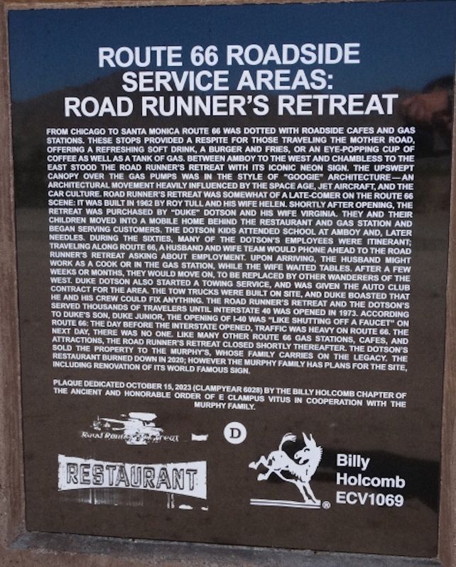
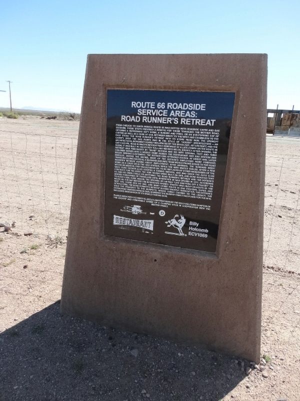
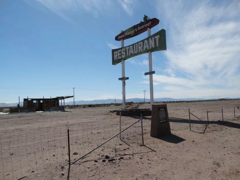
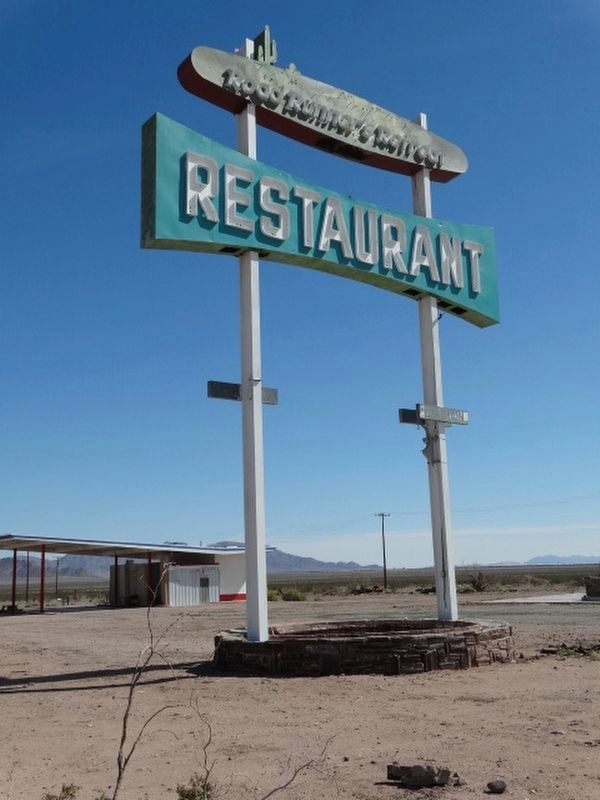
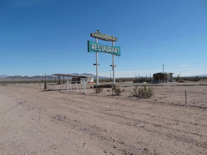
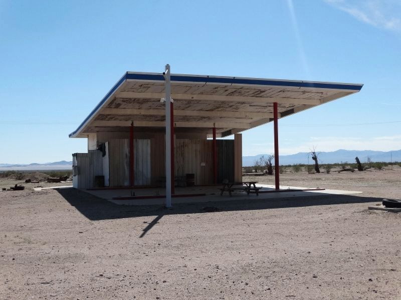
From Chicago to Santa Monica Route 66 was dotted with roadside cafes and gas stations. These stops provided a respite for those traveling The Mother Road offering a refreshing soft drink, a burger and fries, or an eye-popping cup of coffee as well as a tank of gas. Between Amboy to the west and Chambless to the east stood The Road Runnerís Retreat with its iconic neon sign, the upswept canopy over the gas pumps was in the style of ďGoogieĒ architecture Ė An architectural movement heavenly influenced by the space age, jet aircraft, and the car culture, Road Runnerís Retreat was somewhat of a late-comer on The Route 66 scene: it was built in 1962 by Roy Tull and his wife Helen. Shortly after opening, the retreat was purchased by ďDukeĒ Dotson and hi wife Virginia. They and their children moved into a mobile home behind the restaurant and gas station and began serving customers. The Dotson kids attended school at Amboy and later needles. During the sixties, many of the Dotsonís employees were itinerant; traveling along Route 66, a husband and wife team would phone ahead to the Road Runnerís Retreat asking about employment, upon arriving, the husband might work as cook or in the gas station, while the wife waited tables. After a few weeks or months, they move on, to be replaced by other wanderers of the west. Duke Dotson also started a towing service, and was given the auto club contract for the area. The tow trucks were built on site, and Duke boasted that he and his crew could fix anything. The Road Runnerís Retreat and the Dotsonís served thousands of travelers until Interstate 40 was opened in 1973. According to Dukeís son, Duke Junior, the opening of I-40 was ďlike shutting off a faucetĒ on Route 66. The day before the interstate opened, traffic was heavy on Route 66. The next day, there was no one. Like many other Route 66 gas stations, cafes, and attractions, The Road Runnerís Retreat closed shortly thereafter. The Dotsonís sold the property to the Murphyís, whose family carries on the legacy. The restaurant burned down in 2020; however the Murphy family has plans for the site, including renovation of its world famous sign.
Plaque dedicated October 15, 2023 (Clampyear 6028) by the Bill Holcomb Chapter of The Ancient and Honorable Order of E Clampus Vitus in cooperation with the Murphy family.
Billy Holcomb
ECV1069
Erected 2023 by E Clampus Vitus Billy Holcomb Chapter 1069.
Topics and series. This historical marker is listed in these topic lists: Architecture • Industry & Commerce • Roads & Vehicles • Settlements & Settlers. In addition, it is included in the E Clampus Vitus, and the U.S. Route 66 series lists. A significant historical date for this entry is October 15, 2023.
Location. 34° 33.675′ N, 115° 34.443′ W. Marker is in Chambless, California, in San Bernardino County. Marker is on National Trails Highway (U.S. 66), on the right when traveling east. Located a mile East of Kelbaker road, on National Trails Hwy.
Touch for map. Marker is in this post office area: Angelus Oaks CA 92305, United States of America. Touch for directions.
Other nearby markers. At least 5 other markers are within 10 miles of this marker, measured as the crow flies. Old Route 66 (approx. 1.7 miles away); The Story of Route 66 (approx. 7.2 miles away); Route 66, Amboy, California (approx. 9.6 miles away); Trails and Rails Through the Mojave Desert (approx. 9.6 miles away); Amboy and Roy's Cafť (approx. 9.7 miles away).
Also see . . . Route 66 in Chambless CA. The Route 66 website entry:
Contains a history of Road Runner's Retreat. (Submitted on March 10, 2024, by Denise Boose of Tehachapi, California.)
Credits. This page was last revised on March 11, 2024. It was originally submitted on March 10, 2024, by Denise Boose of Tehachapi, California. This page has been viewed 60 times since then. Photos: 1, 2, 3, 4, 5, 6. submitted on March 10, 2024, by Denise Boose of Tehachapi, California. • Andrew Ruppenstein was the editor who published this page.
