Birmingham Township in West Chester in Chester County, Pennsylvania — The American Northeast (Mid-Atlantic)
Crisis on the Field of Battle, Sept. 11, 1777
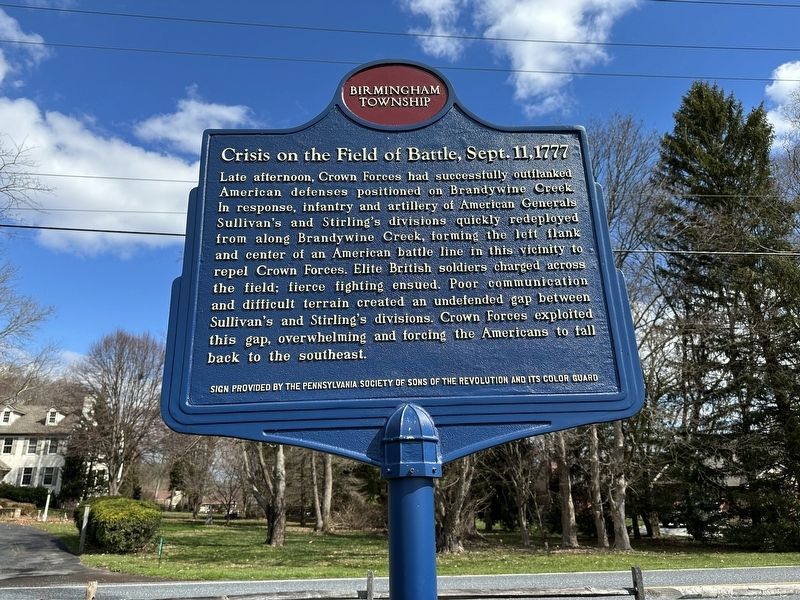
Photographed by Pete Skillman, March 10, 2024
1. Crisis on the Field of Battle, Sept. 11, 1777 Marker
SIGN PROVIDED BY THE PENNSYLVANIA SOCIETY OF SONS OF THE REVOLUTION AND ITS COLOR GUARD
Erected by Birmingham Township.
Topics. This historical marker is listed in this topic list: War, US Revolutionary. A significant historical date for this entry is September 11, 1777.
Location. 39° 54.244′ N, 75° 35.542′ W. Marker is in West Chester, Pennsylvania, in Chester County. It is in Birmingham Township. It is on Birmingham Road, on the left when traveling east. Touch for map. Marker is at or near this postal
this page online

Regionally, this marker is in Southeast Pennsylvania and in Greater Philadelphia. It is also in the American Northeast and in the Mid-Atlantic. Globally, it is in North America, the Western Hemisphere, the Western World, and the Anglosphere. Historically, it finds itself in what was once the Haudenosaunee (Iroquois) Confederacy, New Netherland, and one of the original Thirteen Colonies.
Other nearby markers. At least 8 other markers are within walking distance of this marker: Birmingham Hill (about 300 feet away, measured in a direct line); The Battle of the Brandywine Foot Soldiers (about 400 feet away); In Memory of Those Who Fell (about 800 feet away); First Defense Line (about 800 feet away); On This Native Stone (approx. 0.2 miles away); The Peace Garden at Birmingham (approx. 0.2 miles away); The Friends School at Birmingham Meeting House (approx. 0.2 miles away); Birmingham Friends Meeting House (approx. 0.2 miles away). Touch for a list and map of all markers in West Chester.
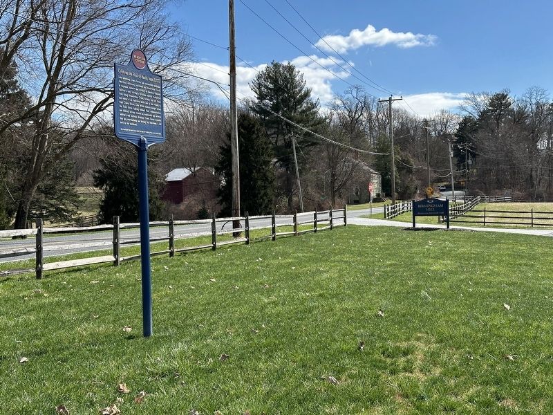
Photographed by Pete Skillman, March 10, 2024
2. Crisis on the Field of Battle, Sept. 11, 1777 Marker in context
Credits. This page was last revised on March 11, 2024. It was originally submitted on March 10, 2024, by Pete Skillman of Wilmington, Delaware. This page has been viewed 433 times since then and 30 times this year. Photos: 1, 2. submitted on March 10, 2024, by Pete Skillman of Wilmington, Delaware. • Bill Pfingsten was the editor who published this page.
