Lower Windsor Township in Long Level in York County, Pennsylvania — The American Northeast (Mid-Atlantic)
Thomas Cresap and the Border War
A Royal Dispute
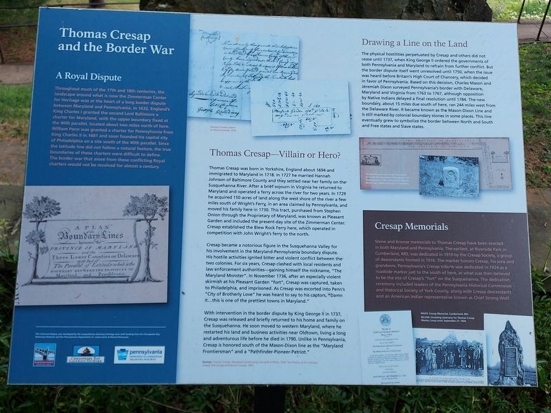
Throughout much of the 17th and 18th centuries the landscape around what is now the Zimmerman Center for Heritage was at the heart of a long border dispute between Maryland and Pennsylvania. In 1632, England's King Charles I granted the second Lord Baltimore a charter for Maryland with the upper boundary fixed at the 40th parallel, located about two miles north of here. William Penn was granted a charter for Pennsylvania from King Charles II in 1681 and soon founded his capital city of Philadelphia on a site south of the 40th parallel. Since the latitude line did not follow a natural feature, the true boundaries of these charters were difficult to define. The border war that arose from these conflicting Royal charters would not be resolved for almost a century.
Thomas Cresap-Villain or Hero?
Thomas Cresap was born in Yorkshire, England about 1694 and immigrated to Maryland in 1718. In 1727 he married Hannah Johnson of Baltimore County and they settled near her family on the Susquehanna River. After a brief sojourn in Virginia he returned to Maryland and operated a ferry across the river for two years. In 1729 he acquired 150 acres of land along the west shore of the river a few miles south of Wright's Ferry, in an area claimed by Pennsylvania, and moved his family here in 1730. This tract, purchased from Stephen Onion through the Proprietary of Maryland, was known as Pleasant Garden and included the present-day site of the Zimmerman Center. Cresap established the Blew Rock Ferry here, which operated in competition with John Wright's ferry to the north.
Cresap became a notorious figure in the Susquehanna Valley for his involvement in the Maryland-Pennsylvania boundary dispute. His hostile activities ignited bitter and violent conflict between the two colonies. For six years, Cresap clashed with local residents and law enforcement authorities-gaining himself the nickname, "The Maryland Monster". In November 1736, after an especially violent skirmish at his Pleasant Garden "fort", Cresap was captured, taken to Philadelphia, and imprisoned. As Cresap was escorted into Penn's "City of Brotherly Love” he was heard to say to his captors, "Damn it…this is one of the prettiest towns in Maryland."
With intervention in the border dispute by King George II in 1737, Cresap was released and briefly returned to his home and family on the Susquehanna. He soon moved to western Maryland, where he restarted his land and business activities near Oldtown, living a long and adventurous life before he died in 1790. Unlike in Pennsylvania, Cresap is honored south of the Mason-Dixon line as the "Maryland Frontiersman” and a "Pathfinder-Pioneer-Patriot."
Sources:
Thomas Cresap: Maryland Frontiersman, Kenneth P. Miller, 1944; The History of the Cresaps, Joseph Ord Cresap and Bernarr Cresap, 1987.
Drawing a Line on the Land
The physical hostilities perpetuated by Cresap and others did not cease until 1737, when King George II ordered the governments of both Pennsylvania and Maryland to refrain from further conflict. But the border dispute itself went unresolved until 1750, when the issue was heard before Britain's High Court of Chancery, which decided in favor of Pennsylvania. Based on this decision, Charles Mason and Jeremiah Dixon surveyed Pennsylvania's border with Delaware, Maryland and Virginia from 1763 to 1767, although opposition by Native Indians delayed a final resolution until 1784. The new boundary, about 15 miles due south of here, ran 244 miles west from the Delaware River. It became known as the Mason-Dixon Line and is still marked by colonial boundary stones in some places. This line eventually grew to symbolize the border between North and South and Free states and Slave states.
Cresap Memorials
Stone and bronze memorials to Thomas Cresap have been erected in both Maryland and Pennsylvania. The earliest, at Riverside Park in Cumberland, MD, was dedicated in 1919 by the Cresap Society, a group of descendants formed in 1916. The marker honors Cresap,

Photographed By Carl Gordon Moore Jr., March 21, 2021
3. Thomas Cresap and the Border War Marker
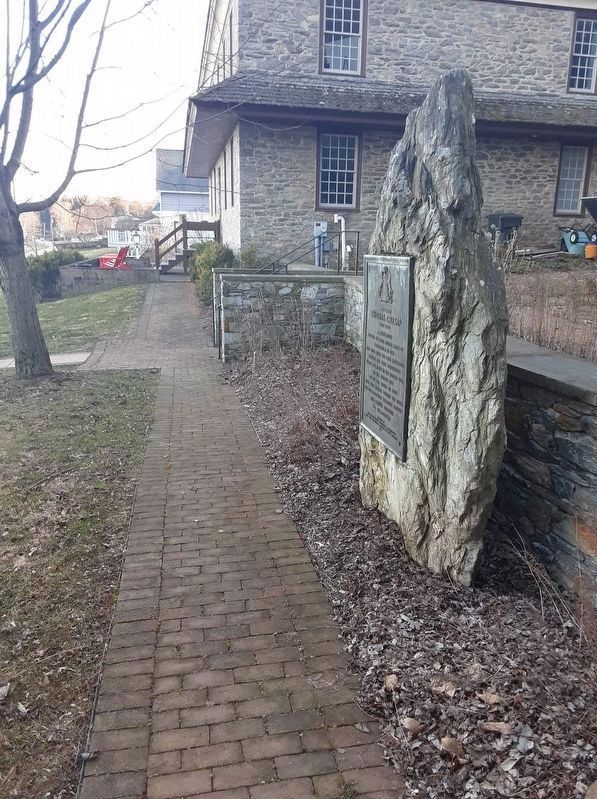
Looking south in a view which includes the "Captain Thomas Cresap" plaque (a separate hmdb.org entry) and the Dritt Mansion. That plaque is positioned back to back with the subject plaque, which is off camera to right. Discrepancy: that plaque has birth year 1703, but the subject plaque has about 1694.
A tall native boulder of picturesque shistic rock, to which is attached an inscribed bronze tablet, designed by Paul P. Cret, has been erected in Lower Windsor Township, which is in York County, Pennsylvania, four miles south of Wrightsville, and two miles east of East Prospect.
Topics. This historical marker is listed in these topic lists: Colonial Era • Settlements & Settlers. A significant historical year for this entry is 1729.
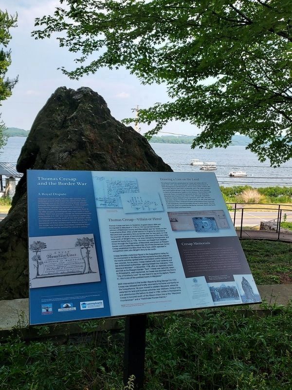
Location. 39° 58.669′ N, 76° 29.798′ W. Marker is in Long Level, Pennsylvania, in York County. It is in Lower Windsor Township. Marker can be reached from Long Level Road (Pennsylvania Route 624), on the left when traveling north. You are facing the Susquehanna River if you face this plaque. Directly behind this plaque, and facing the opposite direction, is the "Captain Thomas Cresap" plaque. Touch for map. Marker is at or near this postal address: 1706 Long Level Road, Wrightsville PA 17368, United States of America. Touch for directions.
Other nearby markers. At least 8 other markers are within walking distance of this marker. Captain Thomas Cresap (a few steps from this marker); The John & Kathryn Zimmerman Center for Heritage (a few steps from this marker); Native Lands Trailhead (within shouting distance of this marker); The Dritt Mansion: A Home at the Center of History (within shouting distance of this marker); Gateway to the Bay (within shouting distance of this marker); Latrobe's Survey of the Susquehanna (within shouting distance of this marker); Cresap's Fort (approx. 0.3 miles away); Susquehanna and Tidewater Canal (approx. 0.9 miles away). Touch for a list and map of all markers in Long Level.
Credits. This page was last revised on March 11, 2024. It was originally submitted on March 26, 2021, by Carl Gordon Moore Jr. of North East, Maryland. This page has been viewed 391 times since then and 59 times this year. Last updated on March 11, 2024, by Annette Fillmore of York, Pennsylvania. Photos: 1, 2. submitted on June 17, 2023, by Annette Fillmore of York, Pennsylvania. 3. submitted on March 29, 2021, by Carl Gordon Moore Jr. of North East, Maryland. • Devry Becker Jones was the editor who published this page.

