Forest Glen in Chicago in Cook County, Illinois — The American Midwest (Great Lakes)
Old Edgebrook
Chicago Landmark District
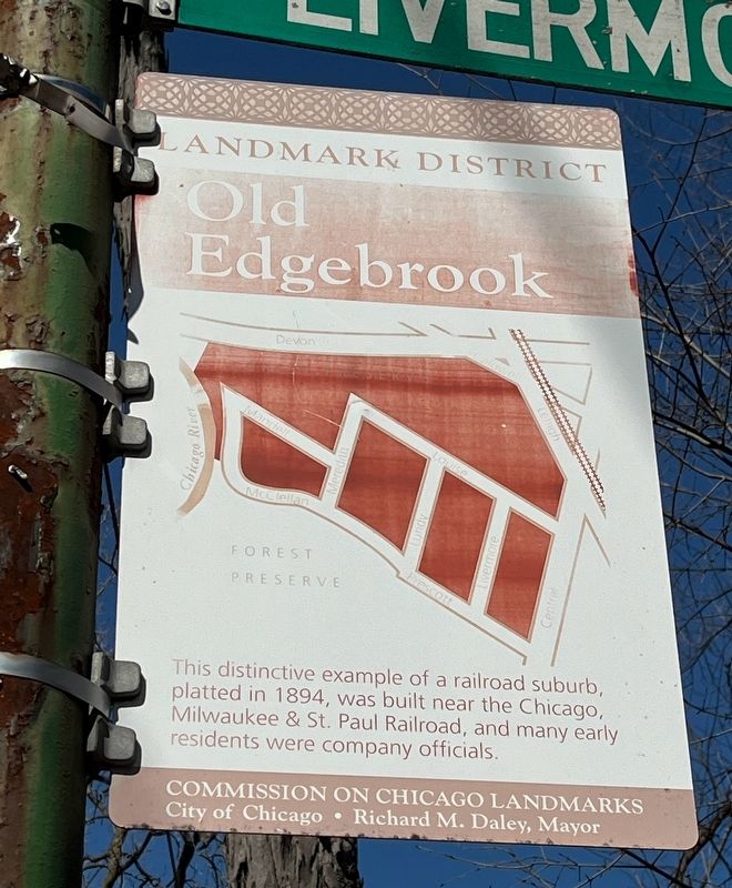
Photographed by Sean Flynn, March 11, 2024
1. Old Edgebrook Marker
Erected by Commission on Chicago Landmarks; City of Chicago.
Topics and series. This historical marker is listed in these topic lists: Railroads & Streetcars • Settlements & Settlers. In addition, it is included in the Chicago, Milwaukee, St. Paul and Pacific Railroad, and the Illinois, Chicago Landmarks Commission series lists. A significant historical year for this entry is 1894.
Location. 41° 59.589′ N, 87° 46.007′ W. Marker is in Chicago, Illinois, in Cook County. It is in Forest Glen. It is at the intersection of North Prescott Avenue and North Livermore Avenue, on the right when traveling west on North Prescott Avenue. The marker is on a lamppost below the street sign for Livermore Avenue. Touch for map. Marker is at or near this postal address: 6181 North Prescott Avenue, Chicago IL 60646, United States of America. Touch for directions.

Regionally, this marker is on Chicago’s North Side. It is also in the American Midwest. Globally,
this page online
Other nearby markers. At least 8 other markers are within 2 miles of this marker, measured as the crow flies: Mary Berkemeier Quinn Park-of-Trees (approx. ¼ mile away); Hazelton-Mikota House (approx. 1.1 miles away); Land Acknowledgement (approx. 1.1 miles away); Sauganash Veterans Memorial (approx. 1.3 miles away); Old Treaty Elm (approx. 1.4 miles away); LaBagh Woods (approx. 1½ miles away); The Bells of the Leaning Tower of Niles (approx. 1.6 miles away); Trinity Slovak Lutheran Church (approx. 1.6 miles away). Touch for a list and map of all markers in Chicago.
More about this marker. The marker shows some signs of age, including some fading text and a little bit of rust.
Regarding Old Edgebrook. Edgebrook is a one-of-a-kind enclave in Chicago, a three-block neighborhood on the city's far northwest side completely surrounded by Cook County Forest
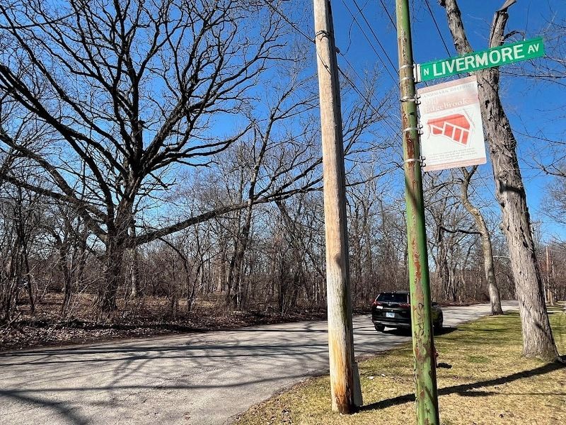
Photographed by Sean Flynn, March 11, 2024
2. Old Edgebrook Marker
A short distance through the woods in this photo is the nearby Edgebrook Golf Course.
Also see . . .
1. Forgotten Chicago: Old Edgebrook.
Excerpt: "As one can see from these maps, Old Edgebrook appears to have been more connected to surrounding streets in the past. There was a connection to Devon, and several other streets cut through the forest around Central and even went east across it to the railroad tracks. Few remnants of these streets remain."(Submitted on March 13, 2024, by Sean P. Flynn of Oak Park, Illinois.)
2. Chicago Landmarks: Old Edgebrook.
Excerpt: "Surrounded by the Cook County Forest Preserve, Old Edgebrook's rural [ambiance] makes it atypical for a neighborhood located in a major metropolitan area."(Submitted on March 13, 2024, by Sean P. Flynn of Oak Park, Illinois.)
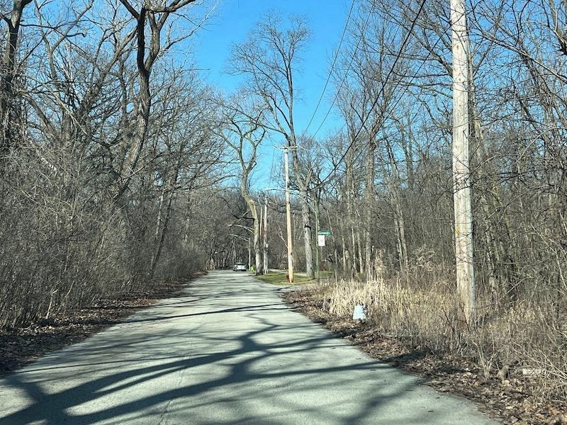
Photographed by Sean Flynn, March 11, 2024
3. Old Edgebrook Marker
The marker from a short distance east, showing the enclave's woodsy surroundings.
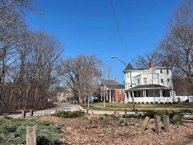
Photographed by Sean Flynn, March 11, 2024
4. Old Edgebrook
The intersection of McClellan and Lundy, about a block west of the marker.
Credits. This page was last revised on February 10, 2026. It was originally submitted on March 13, 2024, by Sean P. Flynn of Oak Park, Illinois. This page has been viewed 479 times since then and 63 times this year. Photos: 1, 2, 3, 4. submitted on March 13, 2024, by Sean P. Flynn of Oak Park, Illinois.
