Wright in Campbell County, Wyoming — The American West (Mountains)
The Building of Wright, Wyoming
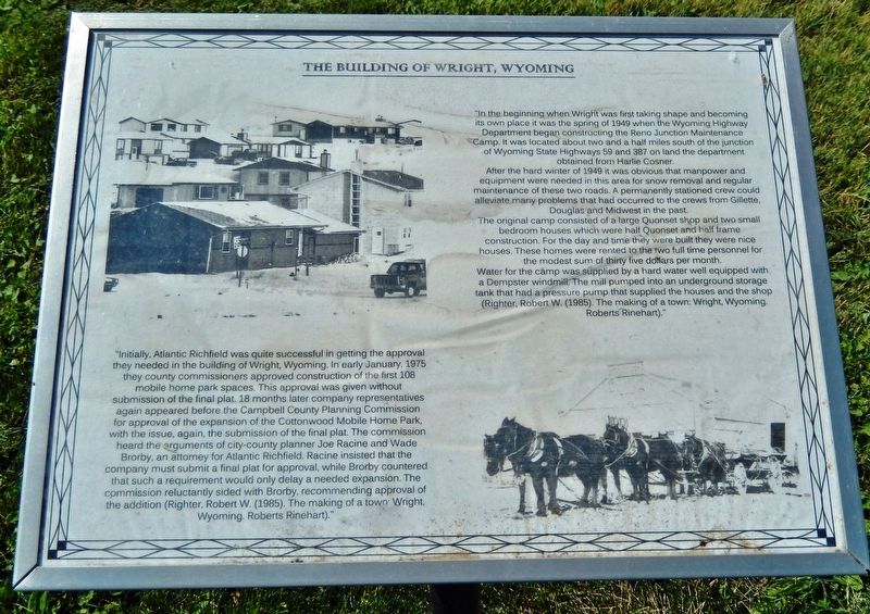
"In the beginning when Wright was first taking shape and becoming its own place it was the spring of 1949 when the Wyoming Highway Department began constructing the Reno Junction Maintenance Camp. It was located about two and a half miles south of the junction of Wyoming State Highways 59 and 387 on land the department obtained from Harlie Cosner.
After the hard winter of 1949 it was obvious that manpower and equipment were needed in this area for snow removal and regular maintenance of these two roads. A permanently stationed crew could alleviate many problems that had occurred to the crews from Gillette, Douglas and Midwest in the past.
The original camp consisted of a large Quonset shop and two small bedroom houses which were half Quonset and half frame construction. For the day and time they were built they were nice houses. These homes were rented to the two full time personnel for the modest sum of thirty five dollars per month. Water for the camp was supplied by a hard water well equipped with a Dempster windmill. The mill pumped into an underground storage tank that had a pressure pump that supplied the houses and the shop. (Righter, Robert W. (1985). The making of a town: Wright, Wyoming, Roberts Rinehart)."
"Initially, Atlantic Richfield was quite successful in getting the approval they needed in the building of Wright, Wyoming. In early January, 1975 the county commissioners approved construction of the first 108 mobile home park spaces. This approval was given without submission of the final plat. 18 months later company representatives again appeared before the Campbell County Planning Commission for approval of the expansion of the Cottonwood Mobile Home Park, with the issue, again, the submission of the final plat. The commission heard the arguments of city-county planner Joe Racine and Wade Brorby, an attorney for Atlantic Richfield. Racine insisted that the company must submit a final plat for approval, while Brorby countered that such a requirement would only delay a needed expansion. The commission reluctantly sided with Brorby, recommending approval of the addition. (Righter, Robert W. (1985). The making of a town: Wright, Wyoming, Roberts Rinehart)."
Topics. This historical marker is listed in these topic lists: Industry & Commerce • Roads & Vehicles • Settlements & Settlers. A significant historical year for this entry is 1949.
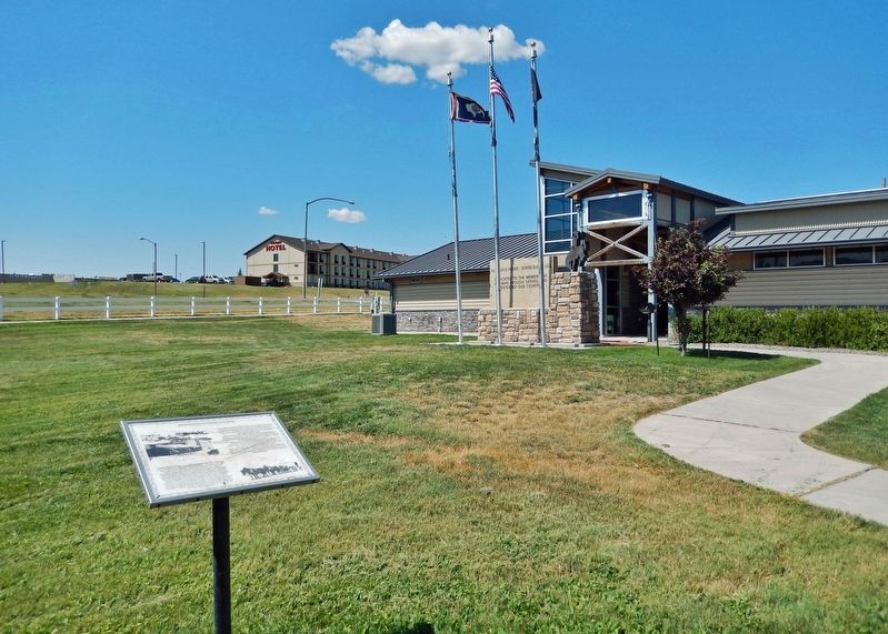
Location. 43° 45.733′ N, 105° 28.906′ W. Marker is in Wright, Wyoming, in Campbell County. Marker can be reached from the intersection of State Highway 387 and Ranch Drive, on the right when traveling west. Marker is located on the Wright Visitor Center & Centennial Museum grounds. Touch for map
. Marker is at or near this postal address: 15089 Wyoming Highway 387, Wright WY 82732, United States of America. Touch for directions.
Other nearby markers. At least 7 other markers are within walking distance of this marker. The Beginning of Coal Mining in Wyoming (a few steps from this marker); Veterans Memorial (a few steps from this marker); Underground Mining with Children (within shouting distance of this marker); Tertiary (Paleogene) Period (within shouting distance of this marker); Ranching in Wyoming (about 300 feet away, measured in a direct line); The Beginning of Wright, a Company Town (about 300 feet away); Lectra Haul Unit Rig (about 800 feet away).
Also see . . .
1. Wright, Wyoming (Wikipedia). Excerpt:
Ten thousand years ago, the first people came to the high plains to hunt buffalo and antelope. In more recent times, the Sioux and Crow claimed this area as their hunting grounds. In the 1880s, ranchers came to graze long horn cattle and sheep on the open range. They were followed by homesteaders lured by the promise of free land. Official settlement began in the area in the early 1900s but boomed in the 1970s, with the creation of the Black Thunder Coal Mine, the largest mine in the Powder River Basin and most productive mine in the United States.(Submitted on March 13, 2024, by Cosmos Mariner of Cape Canaveral, Florida.)
2. Wright, Wyoming History (wrightwyoming.com). Excerpt:
The Wright family homesteaded the area in 1911 creating the Wright Community. Shortly after moving to the area, R. A. Wright opened Wright’s first Post Office providing mail service to area ranchers. The community became known as Wright, Wyoming. In 1976, during the economic boom lead by Amax Coal, Black Thunder coal mine was developed near town. As with all energy towns, housing, schools, and essential services were needed. And like other coal mining regions, the Atlantic Richfield coal company stepped up and built the newly organized community, developing housing and a company store. The Town of Wright was incorporated in 1985, making it one of Wyoming’s newest municipalities with a rich history.(Submitted on March 13, 2024, by Cosmos Mariner of Cape Canaveral, Florida.)
Credits. This page was last revised on March 13, 2024. It was originally submitted on March 13, 2024, by Cosmos Mariner of Cape Canaveral, Florida. This page has been viewed 40 times since then. Photos: 1, 2. submitted on March 13, 2024, by Cosmos Mariner of Cape Canaveral, Florida.

