Wright in Campbell County, Wyoming — The American West (Mountains)
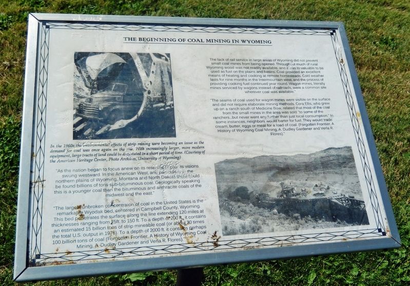
The Beginning of Coal Mining in Wyoming
"The lack of rail service in large areas of Wyoming did not prevent small coal mines from being opened. Throughout much of rural Wyoming wood was not readily available, and it was too valuable to be used as fuel on the plains and basins. Coal provided an excellent means of heating and cooking at remote homesteads. Cold weather lasts for nine months in the Intermountain west, and the process of providing cooking fuel continued year round. Wagon mines, literally mines serviced by wagons instead of railroads, were a common site wherever coal was available."
"The seams of coal used for wagon mines were visible on the surface and did not require elaborate mining methods. Cora Ellis, who grew up on a ranch south of Medicine Bow, related that most of the coal from the small mines in the area was sold "to some of the ranchers… but never went any further than just local consumption." In some instances, neighbors would barter for fuel. They would trade cream, butter, eggs or meat for a load of coal. (Forgotten Frontier, A History of Wyoming Coal Mining, A. Dudley Gardener and Verla R. Flores)."
"As the nation began to focus anew on its reserves of coal its visions swung westward. In the American West, and particularly in the northern plains of Wyoming, Montana and North Dakota there could be found billions of tons of sub-bituminous coal. Geologically speaking this is a younger coal than the bituminous and anthracite coals of the midwest and the east."
"The largest unbroken concentration of coal in the United States is the remarkable Wyodak bed, centered in Campbell County, Wyoming. This bed penetrates the surface along the line extending 120 miles at thicknesses ranging from 25 ft. to 150 ft. To a depth of 200 ft., it contains an estimated 15 billion tons of strip mineable coal (or about 20 times the total U.S. output in 1976). To a depth of 2000 ft. it contains perhaps 100 billion tons of coal. (Forgotten Frontier, A History of Wyoming Coal Mining, A. Dudley Gardener and Verla R. Flores)."
[photo caption]
In the 1960s the environmental effects of strip mining were becoming an issue as the demand for coal was once again on the rise. With increasingly larger, more modern equipment, large tracts of land could be devastated in a short period of time.
Topics. This historical marker is listed in these topic lists: Environment • Industry & Commerce • Natural Resources.
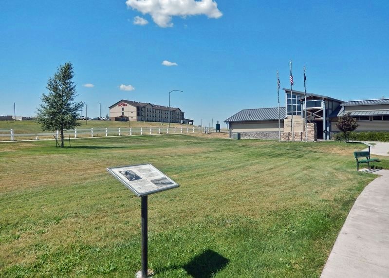
Location. 43° 45.731′ N, 105° 28.894′ W. Marker is in Wright, Wyoming, in Campbell County. Marker can be reached from the intersection of State Highway 387 and Ranch Drive, on the right when traveling west. Marker is
located on the Wright Visitor Center & Centennial Museum grounds. Touch for map. Marker is at or near this postal address: 15089 Wyoming Highway 387, Wright WY 82732, United States of America. Touch for directions.
Other nearby markers. At least 7 other markers are within walking distance of this marker. The Building of Wright, Wyoming (a few steps from this marker); Underground Mining with Children (a few steps from this marker); Veterans Memorial (within shouting distance of this marker); Tertiary (Paleogene) Period (within shouting distance of this marker); The Beginning of Wright, a Company Town (about 300 feet away, measured in a direct line); Ranching in Wyoming (about 400 feet away); Lectra Haul Unit Rig (about 800 feet away).
Also see . . .
1. Coal mining in Wyoming (Wikipedia). Excerpt:
In 1868, the Union Pacific Railroad opened the first coal mine in Carbon County, and the county was named for its extensive coal deposits. In 2011 Wyoming's coal mines employed 7,000 people; a high was reached in 1981 when 38,500 Wyomingites were recorded as being employed in the mining industry. Most of Wyoming's coal mines are in the Powder River Basin of northeastern Wyoming, especially in Campbell County. More than 88% of the state's coal production was contributed by mines in the northeast in 1996.(Submitted on March 13, 2024, by Cosmos Mariner of Cape Canaveral, Florida.)
2. Interactive map of coal resources in the United States. (Submitted on March 13, 2024, by Cosmos Mariner of Cape Canaveral, Florida.)
3. US coal production by region, 2008-2021. (Submitted on March 13, 2024, by Cosmos Mariner of Cape Canaveral, Florida.)
Credits. This page was last revised on March 13, 2024. It was originally submitted on March 13, 2024, by Cosmos Mariner of Cape Canaveral, Florida. This page has been viewed 48 times since then. Photos: 1, 2. submitted on March 13, 2024, by Cosmos Mariner of Cape Canaveral, Florida.

