Centreville in Queen Anne's County, Maryland — The American Northeast (Mid-Atlantic)
The Railroad as the Backbone of Centreville's 20th Century Commerce
Centreville Heritage Trail
Inscription.
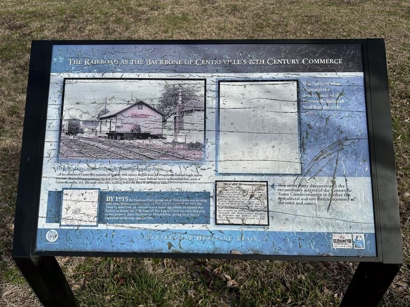
Freight, dairy, mail, livestock, fertilizer and grain...
...all key elements of Centreville's economy of the early 20th century shipped from the Pennsylvania Railroad freight station seen here. This building now serves as the hub of Queen Anne's County Railroad Society at Bloomfield Park, north of Centreville on Rte. 213. The small white office building is now the office of the local car wash.
By 1915 the Harbison Dairy group out of Philadelphia was shipping milk from Queen Anne's County to Philadelphia regularly. In 1921, the Town Commissioners entered into a major agreement to expand this facility to house the milk from all five Upper Shore counties shipping to the primary dairy facilities in Philadelphia, giving local dairies expanded marketing opportunities.
(Upper Right Caption)
This Sanborn Map illustrates the development of the Centreville Railroad Yard into the early 1900's.
(Lower Right Caption)
This news story demonstrates the extraordinary actions of the Centreville Town Commissioners to further the agricultural and commercial economy of the town and county.
Topics. This historical marker is listed in these topic lists: Agriculture • Railroads & Streetcars.
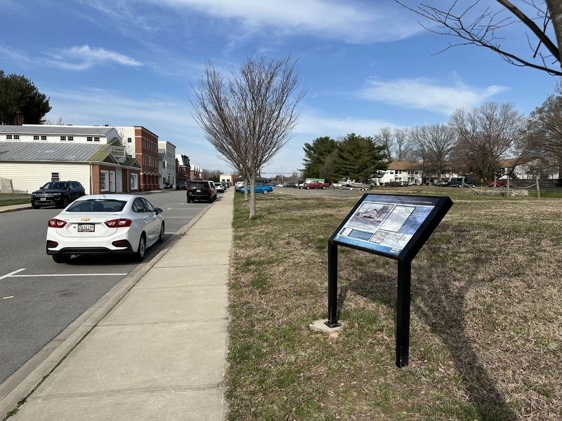
Location. 39° 2.488′ N, 76° 3.859′ W. Marker is in Centreville, Maryland, in Queen Anne's County. Marker is on Pennsylvania Avenue, on the right when traveling north. Touch for map. Marker is at or near this postal address: 104 Pennsylvania Ave, Centreville MD 21617, United States of America. Touch for directions.
Other nearby markers. At least 8 other markers are within walking distance of this marker. Site of Goldsborough House (about 600 feet away, measured in a direct line); The Railroad as Community Connector to the World (about 700 feet away); Connecting Centreville to the Worlds of Commerce Beyond the Eastern Shore (about 700 feet away); Female Seminary (about 700 feet away); Carmichael House (approx. 0.2 miles away); Tucker House (approx. 0.2 miles away); Centrally Located (approx. 0.2 miles away); Wright's Chance (approx. 0.2 miles away). Touch for a list and map of all markers in Centreville.
Credits. This page was last revised on March 18, 2024. It was originally submitted on March 13, 2024, by Pete Skillman of Townsend, Delaware. This page has been viewed 37 times since then. Photos: 1, 2. submitted on March 13, 2024, by Pete Skillman of Townsend, Delaware. • Bill Pfingsten was the editor who published this page.

