Port Credit in Mississauga in Peel Region, Ontario — Central Canada (North America)
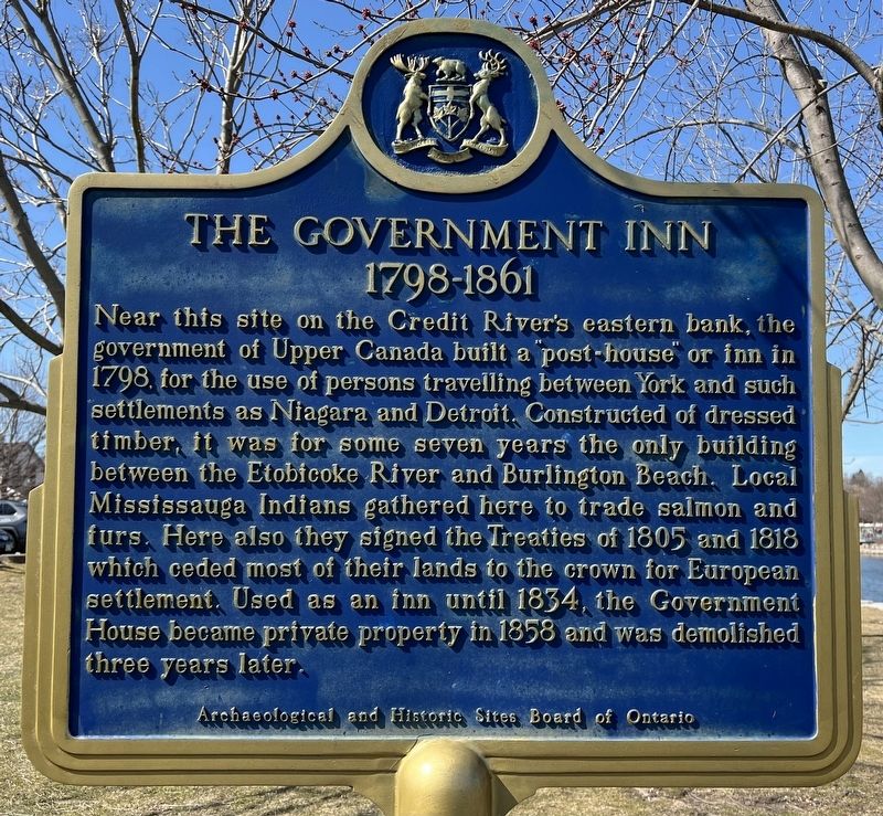
The Government Inn (1798-1861)
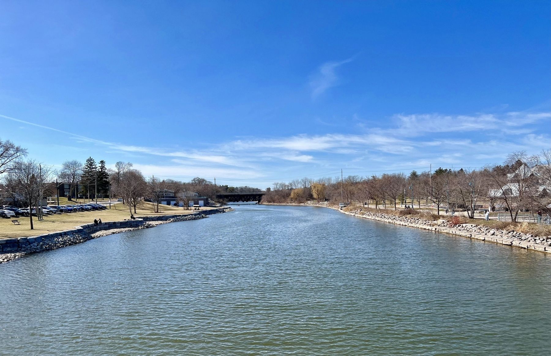
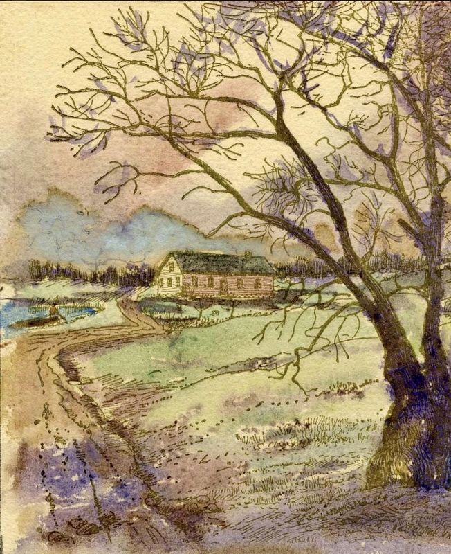
Near this site on the Credit River's eastern bank, the government of Upper Canada built a "post-house" or inn in 1798, for the use of persons travelling between York and such settlements as Niagara and Detroit. Constructed of dressed timber, it was for some seven years the only building between the Etobicoke River and Burlington Beach. Local Mississauga Indians gathered here to trade salmon and furs. Here also they signed the Treaties of 1805 and 1818 which ceded most of their lands to the crown for European settlement. Used as an inn until 1834, the Government House became private property in 1858 and was demolished three years later.
Archaeological and Historic Sites Board of Ontario
Erected by Archaeological and Historic Sites Board of Ontario.
Topics. This historical marker is listed in these topic lists: Government & Politics • Industry & Commerce • Native Americans • Settlements & Settlers. A significant historical year for this entry is 1798.
Location. 43° 33.029′ N, 79° 35.254′ W. Marker is in Mississauga, Ontario, in Peel Region. It is in Port Credit. Marker is at the intersection of Lakeshore Road West and Front Street North, on the right when traveling west on Lakeshore Road West. Touch for map. Marker is at or near this postal address: 102 Lakeshore Rd West, Mississauga ON L5H 1E8, Canada. Touch for directions.
Other nearby markers. At least 8 other markers are within 14 kilometers of this marker, measured as the crow flies. Mrs. Mailman (approx. 0.3 kilometers away); Credit River - Rivière Crédit (approx. 0.6 kilometers away); Canada’s First Aerodrome (approx. 4 kilometers away); Dixie Union Chapel (approx. 5 kilometers away); Remembering Our 1812 Heroes (approx. 5.1 kilometers away); The Hon. Thomas Laird Kennedy 1878-1959 (approx. 6.5 kilometers away); The Lorne Scots (approx. 13 kilometers away); The Underground Railroad (approx. 13.1 kilometers away). Touch for a list and map of all markers in Mississauga.
Also see . . . Wikipedia - Port Crédit.
The location of Port Credit was in the 1700s, the land of the Mississauga Ojibwe band. The location became used as a meeting place between the band and white traders, and the river was known to them as the Missinhe or "trusting creek". To the French and later the English the mouth was known as "Port Credit" and a trading post was established in 1720, where goods were traded or bought on credit.(Submitted on March 13, 2024, by Tim Boyd of Hamilton, Ontario.)
Credits. This page was last revised on March 17, 2024. It was originally submitted on March 13, 2024, by Tim Boyd of Hamilton, Ontario. This page has been viewed 43 times since then. Photos: 1, 2, 3, 4. submitted on March 13, 2024, by Tim Boyd of Hamilton, Ontario. • Andrew Ruppenstein was the editor who published this page.


