Dryden in Kenora District, Ontario — Central Canada (North America)
Agriculture
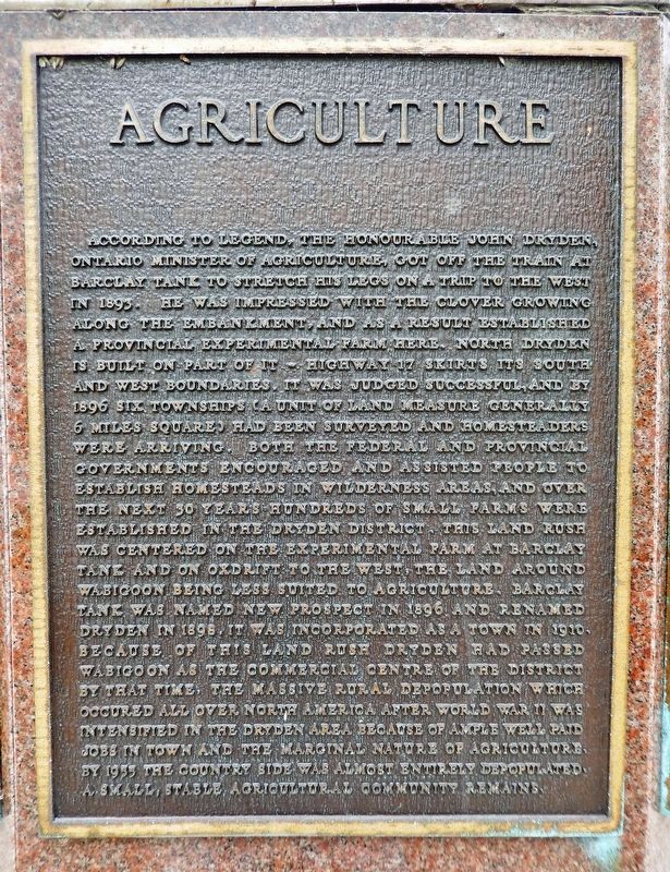
According to legend, the Honourable John Dryden, Ontario Minister of Agriculture, got off the train at Barclay Tank to stretch his legs on a trip to the west in 1893. He was impressed with the clover growing along the embankment, and as a result established a Provincial Experimental Farm here. North Dryden is built on part of it — Highway 17 skirts its south and west boundaries. It was judged successful, and by 1896 six townships (a unit of land measure generally 6 miles square) had been surveyed and homesteaders were arriving. Both the federal and provincial governments encouraged and assisted people to establish homesteads in wilderness areas, and over the next 30 years hundreds of small farms were established in the Dryden District. This land rush was centered on the Experimental Farm at Barclay Tank and on Oxdrift to the west. The land around Wabigoon being less suited to agriculture, Barclay Tank was named New Prospect in 1896 and renamed Dryden in 1898. It was incorporated as a town in 1910. Because of this land rush Dryden had passed Wabigoon as the commercial centre of the district by that time. The massive rural depopulation which occurred all over North America after World War II was intensified in the Dryden area because of ample well paid jobs in town and the marginal nature of agriculture. By 1955 the country side was almost entirely depopulated. A small, stable agricultural community remains.
Topics. This historical marker is listed in these topic lists: Agriculture • Settlements & Settlers. A significant historical year for this entry is 1893.
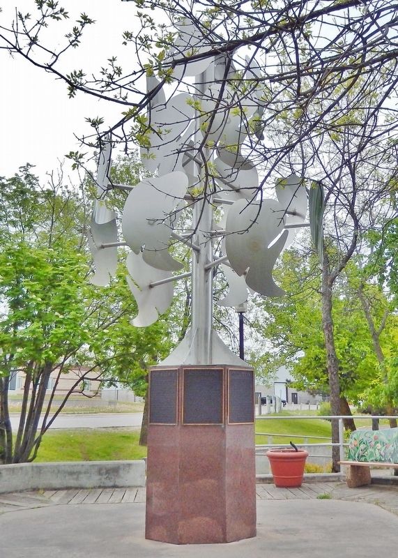
Location. 49° 46.916′ N, 92° 50.462′ W. Marker is in Dryden, Ontario, in Kenora District. Marker is at the intersection of West River Road (Duke Street) (Provincial Highway 594) and Earl Avenue, on the right when traveling east on West River Road (Duke Street). The marker is mounted on the base of a metal sculpture at the southwest corner of the intersection, overlooking the Duke Street Dock. Touch for map. Marker is at or near this postal address: 18 Duke Street, Dryden ON P8N 1Y1, Canada. Touch for directions.
Other nearby markers. At least 8 other markers are within walking distance of this marker. Gold Fever (here, next to this marker); The Railway (here, next to this marker); Pulp and Paper (here, next to this marker); Beginnings (here, next to this marker); Booming Wood (here, next to this marker); The Present (here, next to this marker); Recreation (here, next to this marker); Alan Durance (within shouting distance of this marker). Touch for a list and map of all markers in Dryden.
Related markers. Click here for a list of markers that are related to this marker.
Also see . . . City of Dryden History. Excerpt:
The clover around the Barclay Train Station in 1893 grew from seeds left behind by settlers travelling west, clearing their railcars when they stopped in the same spot for water. John Dryden thought that land which grew and spread clover in such large amounts would be good for farming and he decided to build an experimental farm. In January of 1895, Dryden announced that the Province of Ontario would establish a Pioneer Farm in Wabigoon Country. Early in 1896, a government brochure promoted Wabigoon Country for settlement. In 1897, the village was officially named Dryden. By then, the village had grown to about 24 homes and stores, a working sawmill, more than a dozen families settled with homesteads, and more were on their way.(Submitted on March 16, 2024, by Cosmos Mariner of Cape Canaveral, Florida.)
Credits. This page was last revised on March 16, 2024. It was originally submitted on March 14, 2024, by Cosmos Mariner of Cape Canaveral, Florida. This page has been viewed 32 times since then. Photos: 1, 2. submitted on March 16, 2024, by Cosmos Mariner of Cape Canaveral, Florida.

