Centreville in Queen Anne's County, Maryland — The American Northeast (Mid-Atlantic)
Liberty Tree Memorial
The Town of Centreville
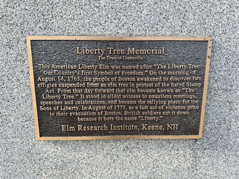
Photographed by Pete Skillman, March 13, 2024
1. Liberty Tree Memorial Marker
Erected by Elm Research Institute, Keene, NH.
Topics and series. This historical marker and memorial is listed in these topic lists: Colonial Era • Patriots & Patriotism. In addition, it is included in the Historic Trees series list. A significant historical date for this entry is August 14, 1765.
Location. 39° 3.323′ N, 76° 4.376′ W. Marker is in Centreville, Maryland, in Queen Anne's County. It is at the intersection of Watson Road and Water Way, on the left when traveling north on Watson Road. Touch for map. Marker is in this post
this page online

Regionally, this marker and memorial is on the Eastern Shore. It is also in the American Mid-Atlantic, on the Delmarva Peninsula, in the Tidewater, in the Chesapeake Bay Region, and on the Eastern Seaboard. Globally, it is in the North Atlantic Region, North America, the Western Hemisphere, the Western World, and the Anglosphere. Historically, it finds itself in what was once one of the original Thirteen Colonies and also the Antebellum South.
Other nearby markers. At least 8 other markers are within walking distance of this marker: John Ozmon: Captain of the Sea and Entrepreneur (about 700 feet away, measured in a direct line); Shuttled By Ship (approx. 0.2 miles away); Centreville Wharf (approx. 0.2 miles away); Chesterfield Avenue: River to Railroad Connection (approx. 0.6 miles away); The Lions Club of Centreville POW - MIA Monument (approx. 0.8 miles away); The Queen Anne's County Courthouse (approx. 0.8 miles away); Short History of Centreville (approx. 0.8 miles away); Queen Anne’s County (approx. 0.8 miles away). Touch for a list and map
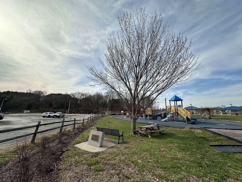
Photographed by Pete Skillman, March 13, 2024
2. Liberty Tree Memorial and Tree
This is the marker in its old location at the other end of this small park.
Other markers no longer nearby. Centreville Wharf Living Shoreline (was a few steps from this marker but has been permanently removed); The Wharf: Adventure and a Link to Life on the Water (was within shouting distance of this marker but has been permanently removed).
Also see . . .
1. Liberty Tree (Wikipedia).
Overview: The Liberty Tree (1646–1775) was a famous elm tree that stood in Boston, Massachusetts near Boston Common in the years before the American Revolution. In 1765, Patriots in Boston staged the first act of defiance against the British government at the tree. The tree became a rallying point for the growing resistance to the rule of Britain over the American colonies, and the ground surrounding it became known as Liberty Hall. The Liberty Tree was felled in August 1775 by Loyalists led by Nathaniel Coffin Jr. or by Job Williams.(Submitted on March 13, 2024.)
2. Boston History in a Minute: Liberty Tree (YouTube, 1 min.). (Submitted on March 13, 2024.)
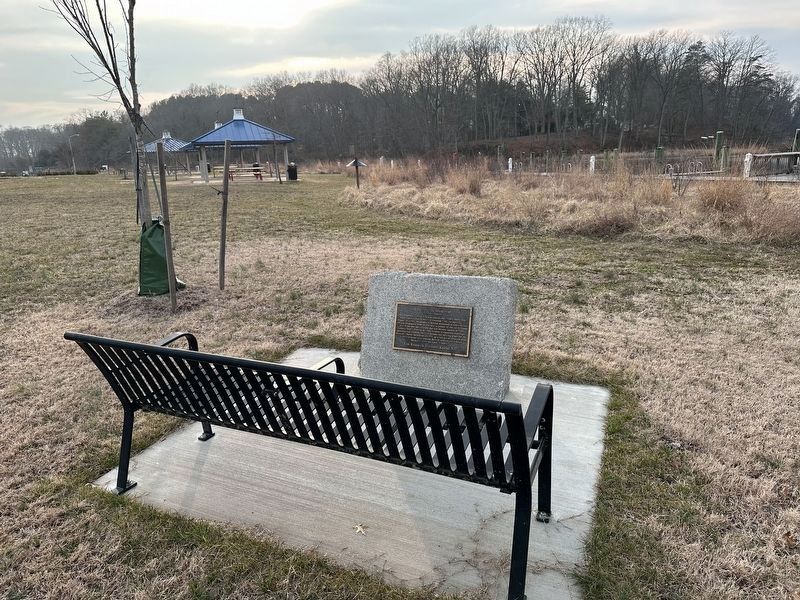
Photographed by Pete Skillman, March 5, 2026
3. Liberty Tree Memorial - wide view
Credits. This page was last revised on March 5, 2026. It was originally submitted on March 13, 2024, by Pete Skillman of Wilmington, Delaware. This page has been viewed 282 times since then and 26 times this year. Last updated on March 14, 2024, by Pete Skillman of Wilmington, Delaware. Photos: 1, 2. submitted on March 13, 2024, by Pete Skillman of Wilmington, Delaware. 3. submitted on March 5, 2026, by Pete Skillman of Wilmington, Delaware. • Devry Becker Jones was the editor who published this page.
