Port Credit in Mississauga in Peel Region, Ontario — Central Canada (North America)
Credit River - Rivière Crédit
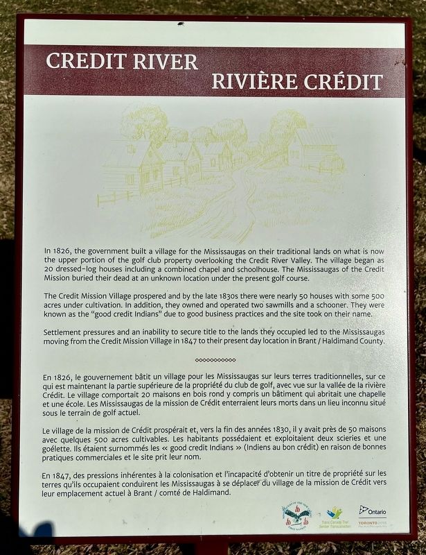
The Credit Mission Village prospered and by the late 1830s there were nearly 50 houses with some 500 acres under cultivation. In addition, they owned and operated two sawmills and a schooner. They were known as the "good credit Indians" due to good business practices and the site took on their name.
Settlement pressures and an inability to secure title to the lands they occupied led to the Mississaugas moving from the Credit Mission Village in 1847 to their present day location in Brant / Haldimand County.
Le village de la mission de Crédit prospérait et, vers la fin des années 1830, il y avait près de 50 maisons avec quelques 500 acres cultivables. Les habitants possédaient et exploitaient deux scieries et une goélette. Ils étaient surnommés les « good credit Indians » (Indiens au bon crédit) en raison de bonnes pratiques commerciales et le site prit leur nom.
En 1847, des pressions inhérentes à la colonisation et l'incapacité d'obtenir un titre de propriété sur les terres qu'ils occupaient conduirent les Mississaugas à se déplacer du village de la mission de Crédit vers leur emplacement actuel à Brant / comté de Haldimand.
Topics. This historical marker is listed in these topic lists: Native Americans • Settlements & Settlers. A significant historical year for this entry is 1826.
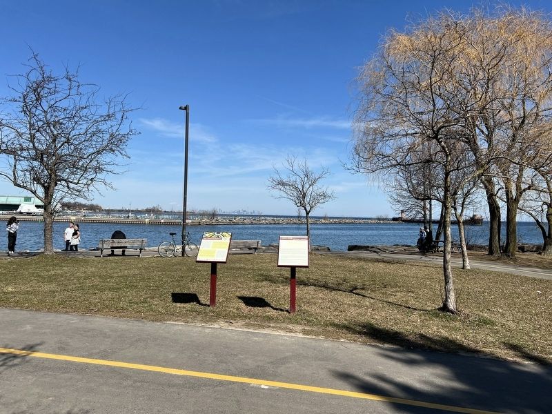
Location. 43° 32.832′ N, 79° 34.909′ W. Marker is in Mississauga, Ontario, in Peel Region. It is in Port Credit. Marker is on Waterfront Trail. The marker is in JC Saddington Park, approx. 180 metres from the Fronts Street South entrance. Touch for map. Marker is in this post office area: Mississauga ON L5H 2C6, Canada. Touch for directions.
Other nearby markers. At least 8 other markers are within 13 kilometers of this marker, measured as the crow flies. Mrs. Mailman (approx. 0.6 kilometers away); The Government Inn (1798-1861) (approx. 0.6 kilometers away); Canada’s First Aerodrome (approx. 4 kilometers away); Dixie Union Chapel (approx. 5.5 kilometers away); Remembering Our 1812 Heroes (approx. 5.5 kilometers away); The Hon. Thomas Laird Kennedy 1878-1959 (approx. 6.9 kilometers away); The Lorne Scots (approx. 12.9 kilometers away); The Underground Railroad (approx. 13 kilometers away). Touch for a list and map of all markers in Mississauga.
Also see . . . Heritage Mississauga - Credit Mission Village.
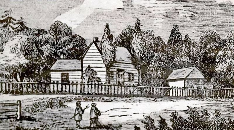
1825, the Mississauga living on the Credit River gained support in their dealings with the government, when Peter Jones (Kahkewaquonaby) a Mississauga (later Chief) and a Christian convert who spoke English, arrived at the Credit River and established the Credit Mission (on the present site of the Mississaugua Golf and Country Club). On July 13, 1825, Peter Jones met the Honourable Dr. Strachan, who, according to Jones, suggested the Mississauga establish a village. By the fall of 1826,their new homes were ready to be occupied.(Submitted on March 14, 2024, by Tim Boyd of Hamilton, Ontario.)
Credits. This page was last revised on March 17, 2024. It was originally submitted on March 14, 2024, by Tim Boyd of Hamilton, Ontario. This page has been viewed 42 times since then. Photos: 1, 2, 3. submitted on March 14, 2024, by Tim Boyd of Hamilton, Ontario. • Andrew Ruppenstein was the editor who published this page.


