Chepachet in Glocester in Providence County, Rhode Island — The American Northeast (New England)
Betty
Photographed by Lotus Blossom
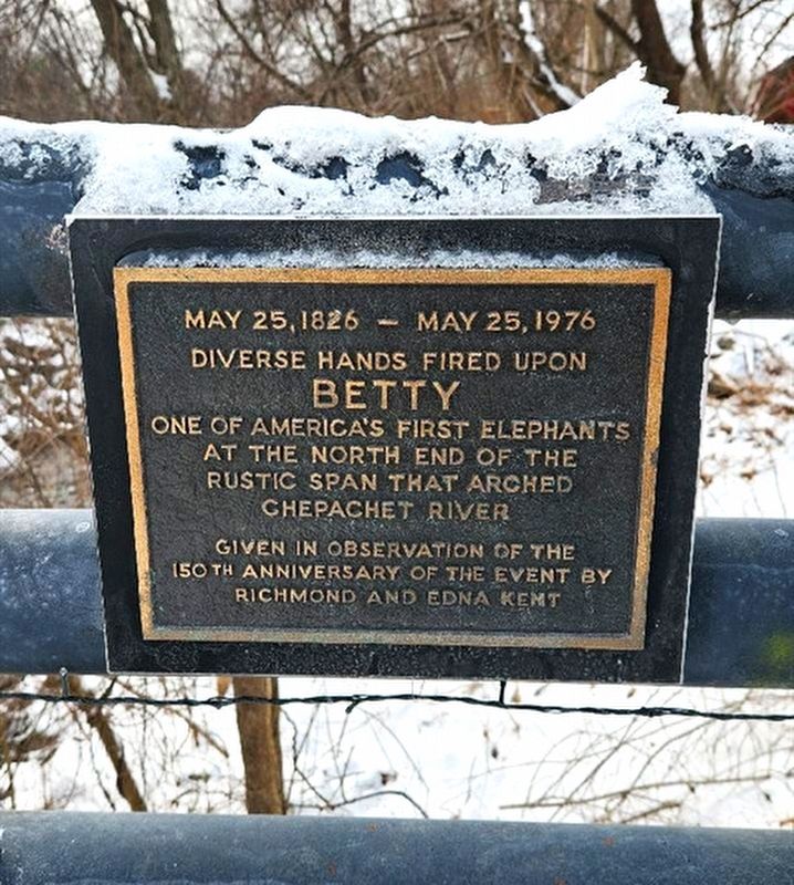
1. Betty Marker
Diverse hands fired upon
Betty
One of America's first elephants at the the north end of the rustic span that arched Chepachet River
Given in observation of the 150th anniversary of the event by Richmond and Edna Kent
Erected by Richmond and Edna Kent.
Topics. This historical marker is listed in this topic list: Animals. A significant historical date for this entry is May 25, 1826.
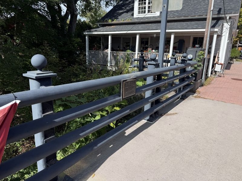
Location. 41° 54.831′ N, 71° 40.211′ W. Marker is in Glocester, Rhode Island, in Providence County. It is in Chepachet. It is on Putnam Pike (Rhode Island Route 102) south of Sherman Lane, on the right when traveling south. Located on the bridge over the Chepachet River. Touch for map. Marker is at or near this postal address: 1169 Putnam Pike, Chepachet RI 02814, United States of America. Touch for directions.

Regionally, this marker is in the Quiet Corner and in Greater Providence. It is also in the American Northeast, in New England, and on the Eastern Seaboard. Globally, it is in the North Atlantic Region, North America, the Western Hemisphere, the Western World, and the Anglosphere. Historically, it
this page online
Other nearby markers. At least 8 other markers are within 5 miles of this marker, measured as the crow flies: Friendship Lodge No. 7 (within shouting distance of this marker); Welcome to the Job Armstrong Shopkeeper's Garden (within shouting distance of this marker); The Granite Mill (approx. 3.3 miles away); Burrillville Veterans Monument (approx. 3.4 miles away); Burrillville Veterans Plaque (approx. 3.4 miles away); Austin T. Levy, Mill Owner, Philanthropist, and Friend (approx. 3.6 miles away); Jesse M. Smith Memorial Library (approx. 3.6 miles away); The White Mill (approx. 4.2 miles away). Touch for a list and map of all markers in Glocester.
Regarding Betty. Betty was shot and killed while she was crossing this bridge spanning the Chepachet River by a group of six "hooligans".
Also see . . . Betty The Learned Elephant - Town of Glocester, Rhode Island. (Submitted on March 23, 2024, by Michael Herrick of Southbury, Connecticut.)
Credits. This page was last revised on September 21, 2026. It was originally submitted on March 14, 2024, by Lotus Blossom of Glocester, Rhode Island. This page has been viewed 325 times since then and 57 times this year. Photos: 1. submitted on March 14, 2024, by Lotus Blossom of Glocester, Rhode Island. 2. submitted on September 21, 2026, by Devry Becker Jones of Washington, District of Columbia. • Michael Herrick was the editor who published this page.
