Centreville in Queen Anne's County, Maryland — The American Northeast (Mid-Atlantic)
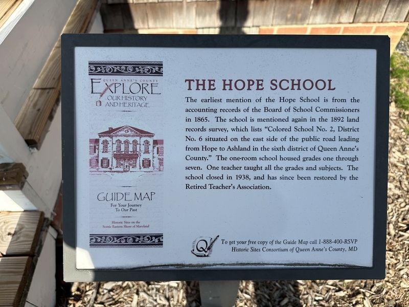
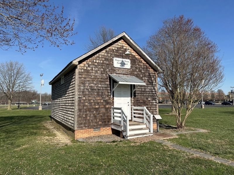
The Hope School
Erected by Historic Sites Consortium of Queen Anne's County, MD.
Topics. This historical marker is listed in these topic lists: African Americans • Education.
Location. 39° 2.279′ N, 76° 3.315′ W. Marker is in Centreville, Maryland, in Queen Anne's County. Marker is on Ruthsburg Road (Maryland Route 304) south of Kidwell Avenue, on the right when traveling west. Touch for map. Marker is at or near this postal address: 123 Ruthsburg Rd, Centreville MD 21617, United States of America. Touch for directions.
Other nearby markers. At least 8 other markers are within walking distance of this marker. She Fought for Equal Access (approx. half a mile away); The Railroad as Community Connector to the World (approx. half a mile away); Connecting Centreville to the Worlds of Commerce Beyond the Eastern Shore (approx. half a mile away); The Railroad as the Backbone of Centreville's 20th Century Commerce (approx. half a mile away); Carmichael House (approx. 0.6 miles away); Site of Goldsborough House (approx. 0.6 miles away); Female Seminary (approx. 0.7 miles away); Centrally Located (approx. 0.7 miles away). Touch for a list and map of all markers in Centreville.
Credits. This page was last revised on March 15, 2024. It was originally submitted on March 14, 2024, by Pete Skillman of Townsend, Delaware. This page has been viewed 39 times since then. Photos: 1, 2. submitted on March 14, 2024, by Pete Skillman of Townsend, Delaware. • Devry Becker Jones was the editor who published this page.

