
Sudlersville in Queen Anne's County, Maryland — The American Northeast (Mid-Atlantic)
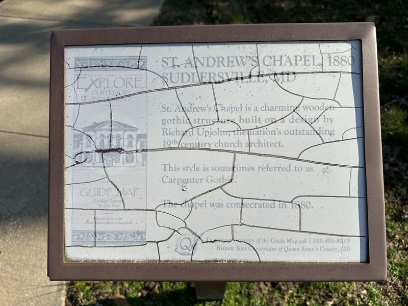
St. Andrew's Chapel, 1880 Sudlersville, MD
Photographed by Pete Skillman, March 14, 2024
1. St. Andrew's Chapel, 1880 Sudlersville, MD Marker
This style is sometimes referred to as Carpenter Gothic.
The chapel was consecrated in 1880.
Erected by Historic Sites Consortium of Queen Anne's County, MD.
Topics. This historical marker is listed in these topic lists: Architecture • Religion & Religious Structures. A significant historical year for this entry is 1880.
Location. 39° 11.105′ N, 75° 51.492′ W. Marker has been reported damaged. Marker is in Sudlersville, Maryland, in Queen Anne's County. It is on Maple Avenue, on the right when traveling east. Touch for map. Marker is at or near this postal address: 104 Maple Ave, Sudlersville MD 21668, United States of America. Touch for directions.

Regionally, this marker is on the Eastern Shore. It is also in the American Mid-Atlantic, on the Delmarva Peninsula, in the Tidewater, in the Chesapeake Bay Region, and on the Eastern Seaboard. Globally, it is in the North Atlantic Region, North America, the Western Hemisphere, the Western World, and
this page online
Other nearby markers. At least 8 other markers are within 6 miles of this location, measured as the crow flies: James Emory Foxx (about 700 feet away, measured in a direct line); Sudlersville (about 700 feet away); Sudlersville Memorial Library (about 700 feet away); Sudlersville Train Station (approx. 0.2 miles away); Dudley's Chapel (approx. 1.8 miles away); a different marker also named Dudley's Chapel (approx. 1.8 miles away); Veterans Memorial (approx. 5.2 miles away); Callister’s Ferry (approx. 5.4 miles away). Touch for a list and map of all markers in Sudlersville.
Photographed by Pete Skillman, March 14, 2024
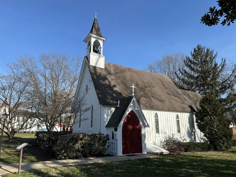
2. St. Andrew's Chapel
Photographed by Pete Skillman, March 14, 2024
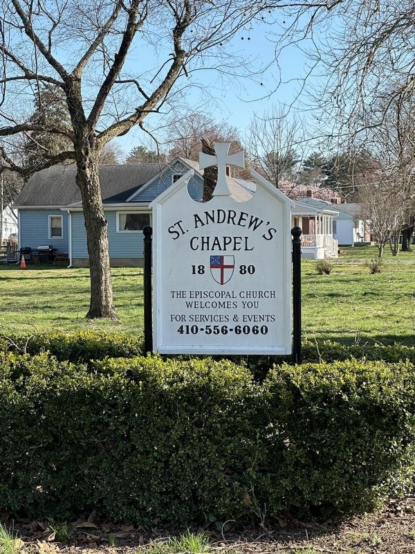
3. St. Andrew's Chapel sign along South Church Street
Credits. This page was last revised on March 18, 2024. It was originally submitted on March 14, 2024, by Pete Skillman of Wilmington, Delaware. This page has been viewed 401 times since then and 23 times this year. Photos: 1, 2, 3. submitted on March 14, 2024, by Pete Skillman of Wilmington, Delaware. • Bill Pfingsten was the editor who published this page.
