Union in Monroe County, West Virginia — The American South (Appalachia)
Union Presbyterian Church
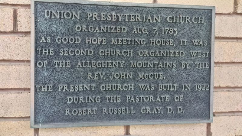
Photographed by Mark Parker, June 13, 2022
1. Union Presbyterian Church Marker
Organized Aug. 7, 1783 as good hope meeting house. It was the second church organized west of the Allegheny Mountains by the Rev. John McGue.
The present church was built in 1922 during the pastorate of Robert Russell Gray, D.D.
Topics. This historical marker is listed in these topic lists: Religion & Religious Structures • Settlements & Settlers. A significant historical date for this entry is August 7, 1783.
Location. 37° 35.677′ N, 80° 32.589′ W. Marker is in Union, West Virginia, in Monroe County. It is on Main Street (U.S. 219) west of 5th Street, on the right when traveling south. Touch for map. Marker is at or near this postal address: 615 Main Street, Union WV 24983, United States of America. Touch for directions.

Regionally, this marker is in the Southern Coalfields. It is also in the American South, specifically in the Upper South, in Appalachia, and specifically in Southern Appalachia. Globally, it is in North America, the Western Hemisphere, the Western World, and the Anglosphere. Historically, it finds itself in what was once the territory of the Mississippian Culture.
Other nearby markers. At least
this page online
Other markers no longer nearby. Union, Western Virginia (was within shouting distance of this marker but has been replaced with another marker now near it); a different marker also named Bishop Matthew W. Clair, Sr. (was approx. 0.2 miles away but has been replaced with another marker now near it).
More about this marker. The marker is to the left of the sanctuary entrance
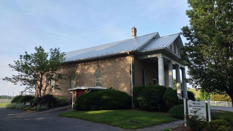
Photographed by Mark Parker, June 13, 2022
2. Union Presbyterian Church
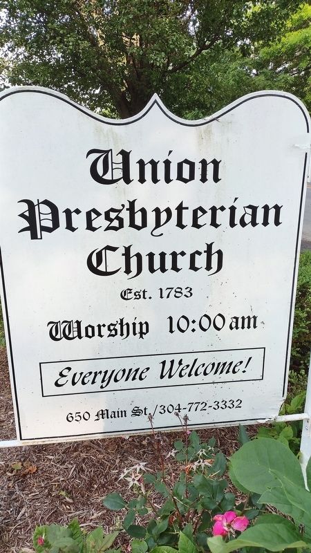
Photographed by Mark Parker, June 13, 2022
3. Union Presbyterian Church Sign
Credits. This page was last revised on March 25, 2024. It was originally submitted on March 17, 2024, by Mark Parker of Hickory, North Carolina. This page has been viewed 380 times since then and 37 times this year. Photos: 1, 2, 3. submitted on March 17, 2024, by Mark Parker of Hickory, North Carolina. • Devry Becker Jones was the editor who published this page.
