
Visalia in Tulare County, California — The American West (Pacific Coastal)
World’s First Self-Propelled Combine
A Historic Landmark of Agricultural Engineering
Photographed by Patrick Duggan, February 16, 2024
1. World’s First Self-Propelled Combine Marker
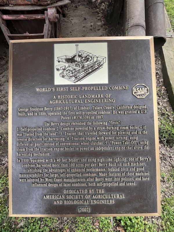
George Stockton Berry (1847-1917) of Lindsay, Tulare County, California designed, built, and in 1886, operated the first self-propelled combine. He was granted a U.S. Patent (# 374,339) in 1887.
The Berry design embodied the following “firsts”:
1. Self-propelled combine. 2. Combine powered by a straw-burning steam boiler - it was ‘fueled from the land’. 3. Tractor that traveled forward for plowing and in the reverse direction for harvesting. 4. Traction engine with power turning, using differential gears instead of conventional wheel clutches. 5. ‘Power Take-Off’, using steam from the traction engine boiler to power an independent engine that drove the harvesting mechanism.
In 1888, equipped with a 40 feet header, and using nighttime lighting, one of Berry's combines harvested more than 100 acres per day. Berry built six such machines, establishing the advantages of enhanced performance, reduced costs and good maneuverability for large, self-propelled combines. Many features of these machines were adopted by West Coast manufacturers after Berry went into politics, and have influenced design of later combines, both
this page online
Erected 2007 by American Society of Agricultural and Biological Engineers.
Topics and series. This historical marker is listed in this topic list: Agriculture. In addition, it is included in the ASAE Historic Landmarks of Agricultural Engineering series list. A significant historical year for this entry is 1886.
Location. 36° 16.71′ N, 119° 18.586′ W. Marker is in Visalia, California, in Tulare County. It can be reached from South Mooney Boulevard. Located at Tulare County Museum. Touch for map. Marker is at or near this postal address: 27000 South Mooney Boulevard, Visalia CA 93277, United States of America. Touch for directions.

Regionally, this marker is in California’s San Joaquin Valley, specifically in the Central Valley, and in the Sierra Nevada. It is also on the American Pacific Coast. Globally, it is in North America, on the Ring of Fire, in the Pacific Rim, in the Western Hemisphere, in the Western World, and in the Anglosphere. Historically, it finds itself in what was once New Spain and also Mexico’s Alta California.
Other nearby markers. At least 8 other markers

Photographed by Patrick Duggan, February 16, 2024
2. World’s First Self-Propelled Combine

Photographed by Patrick Duggan, February 16, 2024
3. World’s First Self-Propelled Combine
Credits. This page was last revised on June 9, 2026. It was originally submitted on March 17, 2024, by Patrick Duggan of Los Angeles, California. This page has been viewed 513 times since then and 59 times this year. Photos: 1, 2, 3. submitted on March 17, 2024, by Patrick Duggan of Los Angeles, California. • Andrew Ruppenstein was the editor who published this page.
Editor’s want-list for this marker. Wide view photo of the marker showing its location.
• Photos of the outdoor historic interpretive signs here, on their own marker pages. • • Can you help?
