Leeds in Washington County, Utah — The American Mountains (Southwest)
Rice Bank Building
Photographed by Jeremy Snow, March 15, 2024
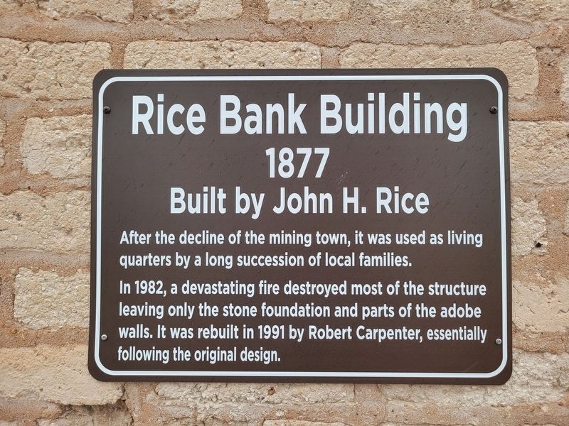
1. Rice Bank Building Marker
Rice Bank Building
1877
Built by John H. Rice
After the decline of the mining town, it was used as living quarters by a long succession of local families.
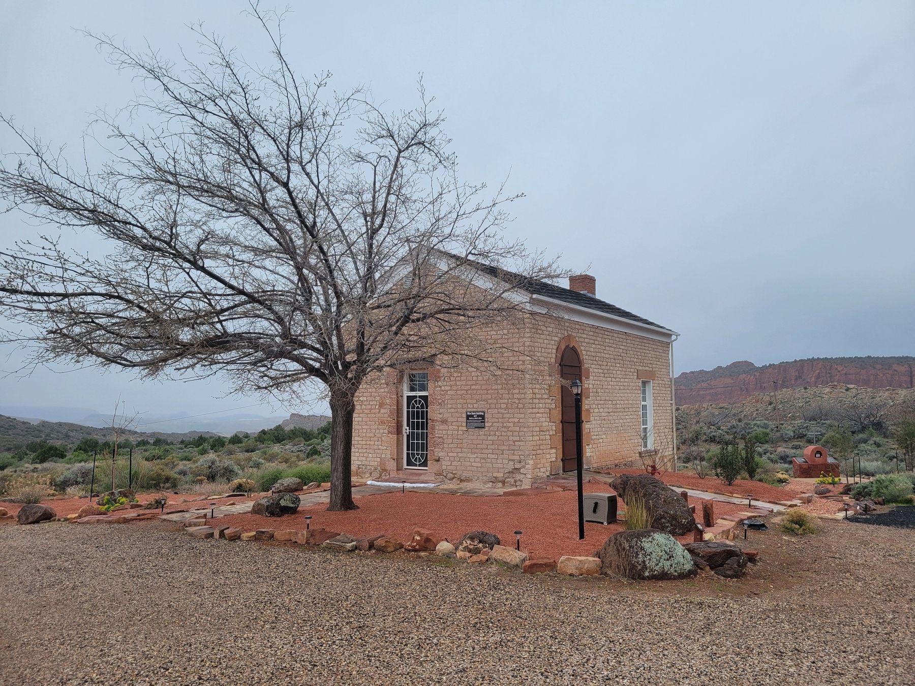
In 1982, a devastating fire destroyed most of the structure leaving only the stone foundation and parts of the adobe walls. It was rebuilt in 1991 by Robert Carpenter, essentially following the original design.
Topics. This historical marker is listed in this topic list: Industry & Commerce. A significant historical year for this entry is 1877.
Location. 37° 15.151′ N, 113° 22.037′ W. Marker is in Leeds, Utah, in Washington County. It is on Silver Reef Road, on the left when traveling north. Touch for map. Marker is at or near this postal address: 1901 Silver Reef Road, Leeds UT 84746, United States of America. Touch for directions.

Regionally, this marker is in Color Country. It is also in the American Southwest, in the Mountain West, and on the Colorado Plateau. Globally, it is in North America, the Rocky Mountains, the Western Hemisphere, the Western World, and the Anglosphere. Historically, it finds itself in what was once New Spain and also Mexico’s
this page online
Other nearby markers. At least 8 other markers are within walking distance of this marker: Silver in Sandstone: A Geologic Anomaly (a few steps from this marker); On-Site Mills: A Silver Reef Necessity (a few steps from this marker); St. John's Church / Bishop Lawrence J. Scanlan (within shouting distance of this marker); Three Historic Towns (within shouting distance of this marker); Mile-long Main Street (within shouting distance of this marker); Wells Fargo and Company Express Building (within shouting distance of this marker); Original Town Jail (about 400 feet away, measured in a direct line); Schoolhouse Site (about 700 feet away). Touch for a list and map of all markers in Leeds.
Photographed by Jeremy Snow, March 15, 2024
2. Rice Bank Building
Credits. This page was last revised on March 18, 2024. It was originally submitted on March 18, 2024, by Jeremy Snow of Cedar City, Utah. This page has been viewed 320 times since then and 19 times this year. Photos: 1, 2. submitted on March 18, 2024, by Jeremy Snow of Cedar City, Utah. • Andrew Ruppenstein was the editor who published this page.
