Summerville in Dorchester County, South Carolina — The American South (South Atlantic)
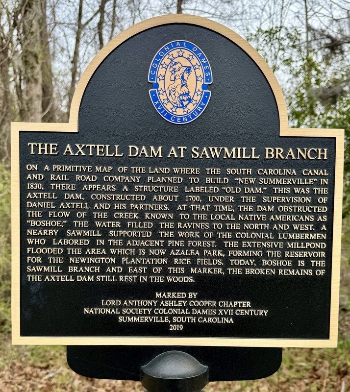
The Axtell Dam at Sawmill Branch
Erected 2019 by Lord Anthony Ashley Cooper Chapter, National Society Colonial Dames XVII Century, Summerville, South Carolina.
Topics and series. This historical marker is listed in these topic lists: Colonial Era • Horticulture & Forestry • Industry & Commerce • Settlements & Settlers. In addition, it is included in the The Colonial Dames XVII Century, National Society series list. A significant historical year for this entry is 1700.
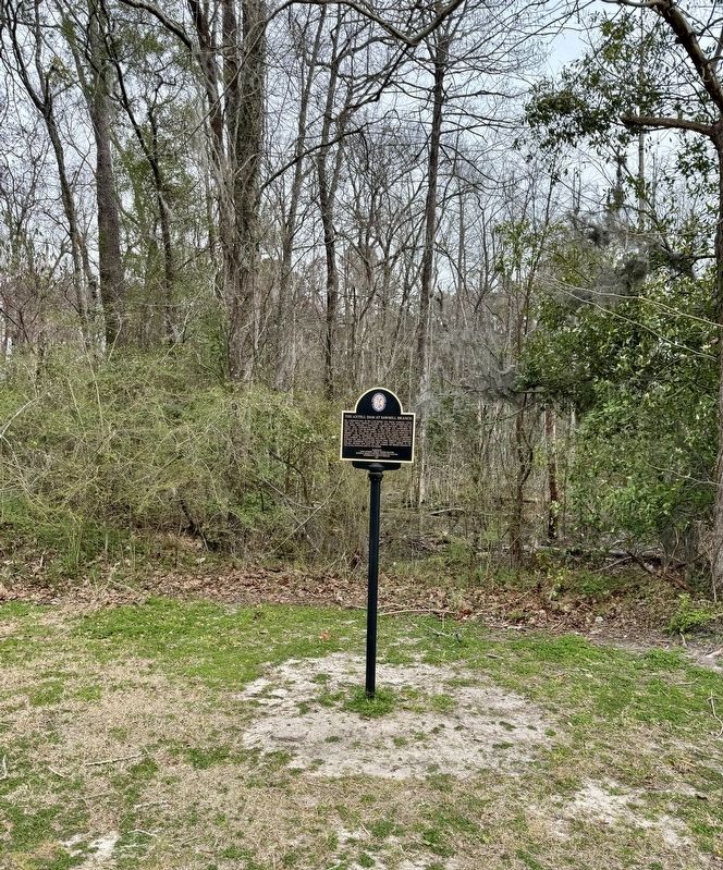
Location. 33° 0.643′ N, 80° 10.52′ W. Marker is in Summerville, South Carolina, in Dorchester County. Marker can be reached from Gahagan Road east of Berlin G Myers Parkway (South Carolina Route 165), on the right when traveling west. The marker is located along the Sawmill Branch Walk/Bike Trail near the intersection of Gahagan Rd and Berlin G. Myers Pkwy. Touch for map. Marker is in this post office area: Summerville SC 29485, United States of America. Touch for directions.
Other nearby markers. At least 8 other markers are within walking distance of this marker. Summerville Memorial Stadium (approx. 0.4 miles away); Coach John McKissick and his wife, Joan (approx. 0.4 miles away); Summerville High School / Coach John McKissick (1926-2019) (approx. 0.4 miles away); Timrod Library (approx. 0.6 miles away); a different marker also named Timrod Library (approx. 0.6 miles away); Mayor Berlin G. Myers (approx. 0.6 miles away); Jewish Life (approx. 0.6 miles away); Guerin's Pharmacy (approx. 0.6 miles away). Touch for a list and map of all markers in Summerville.
Also see . . . Sawmill Branch Walk/Bike Trail. (Submitted on March 14, 2024, by Brandon D Cross of Flagler Beach, Florida.)
Credits. This page was last revised on March 18, 2024. It was originally submitted on March 14, 2024. This page has been viewed 65 times since then. Last updated on March 18, 2024. Photos: 1, 2. submitted on March 14, 2024, by Brandon D Cross of Flagler Beach, Florida. • Bernard Fisher was the editor who published this page.

