Near Rose in Wayne County, New York — The American Northeast (Mid-Atlantic)
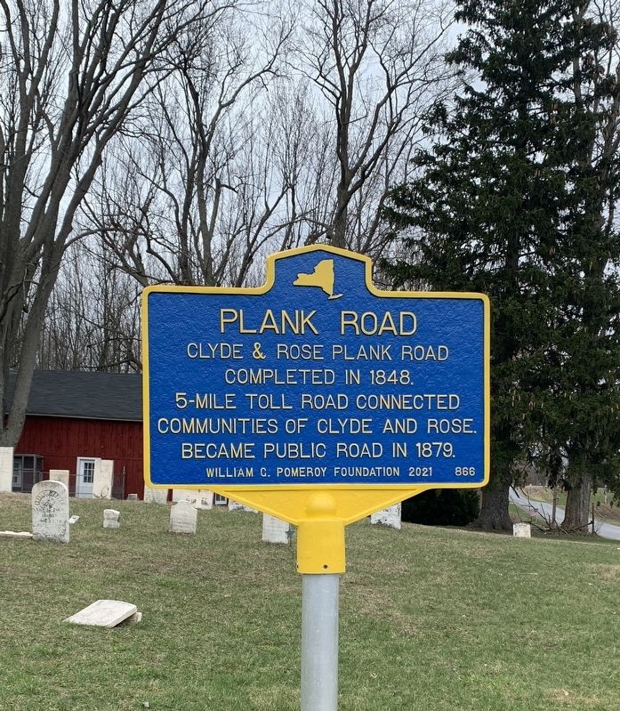
Plank Road
Clyde & Rose Plank Road completed in 1848. 5-mile toll road connected communities of Clyde and Rose. Became public Road in 1879.
Erected 2021 by William G. Pomeroy Foundation. (Marker Number 866.)
Topics and series. This historical marker is listed in this topic list: Roads & Vehicles. In addition, it is included in the William G. Pomeroy Foundation series list. A significant historical year for this entry is 1848.
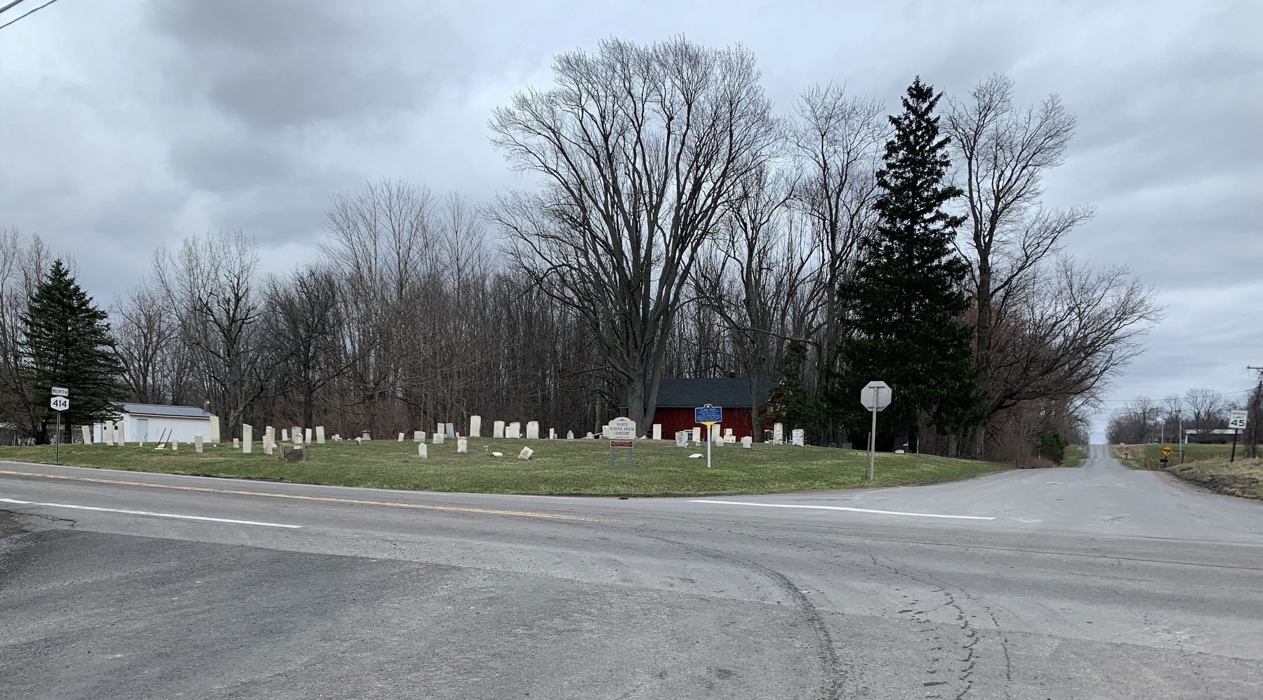
Location. 43° 6.762′ N, 76° 52.159′ W. Marker is near Rose, New York, in Wayne County. Marker is at the intersection of New York State Route 414 and Kelsey Road, on the left when traveling south on State Route 414. Touch for map. Marker is in this post office area: Clyde NY 14433, United States of America. Touch for directions.
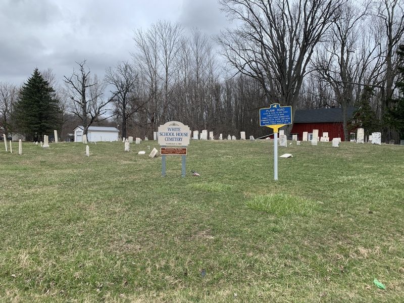
Other nearby markers. At least 8 other markers are within 2 miles of this marker, measured as the crow flies. White School House Cemetery (a few steps from this marker); Erie Mansion B&B (approx. 1.9 miles away); The Galen Historical Society Museum (approx. 1.9 miles away); Roll of Honor (approx. 2 miles away); World War Cannon (approx. 2 miles away); Clyde Downtown Historic District (approx. 2 miles away); Iron Lift Bridge (approx. 2.1 miles away); Conflagration (approx. 2.1 miles away).
Also see . . . Plank Road (William G. Pomeroy Foundation) .
Excerpt: Shortly after the passage of the 1847 incorporation law, the Clyde and Rose Plank Road Company formed to construct a 5-mile plank road connecting the communities of Clyde and Rose Valley in Wayne County. After its completion in 1848, the road passed inspection by the county, and the Clyde and Rose Plank Road Company adopted rates of toll. Vehicles with two horses could travel on the road between Clyde and Rose for six cents, vehicles with one horse for four cents, and every additional horse would cost two cents, while sheep, hogs, or cattle cost one cent per mile. The plank road was included on H.F. Walling’s 1853 Map of Wayne County, along with the two toll houses that were located on each end of the road.(Submitted on March 20, 2024.)
Credits. This page was last revised on March 20, 2024. It was originally submitted on March 19, 2024, by Steve Stoessel of Niskayuna, New York. This page has been viewed 42 times since then. Photos: 1, 2, 3. submitted on March 19, 2024, by Steve Stoessel of Niskayuna, New York. • Andrew Ruppenstein was the editor who published this page.


