Near Petersburg in Dinwiddie County, Virginia — The American South (Mid-Atlantic)
Second Battle Of Reams Station
Attacking the Union Position
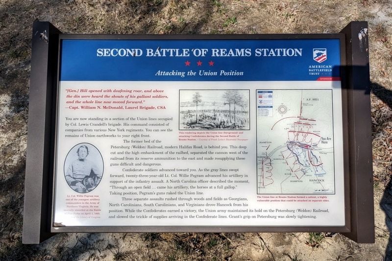
—Capt. William N. McDonald, Laurel Brigade, CSA
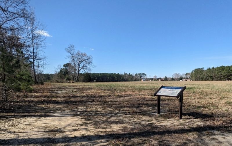
You are now standing in a section of the Union lines occupied by Col. Lewis Crandell's brigade. His command consisted of companies from various New York regiments. You can see the remains of Union earthworks to your right front.
The former bed of the Petersburg (Weldon) Railroad, modern Halifax Road, is behind you. This deep cut and the high embankment of the railbed, separated the cannon west of the railroad from its reserve ammunition to the east and made resupplying these guns difficult and dangerous.
Confederate soldiers advanced toward you. As the gray lines swept forward, twenty-three-year-old Lt. Col. Willie Pegram advanced his artillery in support of the infantry assault. A North Carolina officer described the moment, "Through an open field... came his artillery, the horses at a full gallop." Taking position, Pegram's guns raked the Union line.
Three separate assaults rushed through woods and fields as Georgians, North Carolinians, South Carolinians, and Virginians drove Hancock from his position. While the Confederates earned a victory, the Union army maintained its hold on the Petersburg (Weldon) Railroad, and slowed the trickle of supplies arriving in the Confederate lines. Grant's grip on Petersburg was slowly tightening.
(captions
This rendering depicts the Union line (foreground) and attacking Confederates during the the Second Battle of Reams Station. - Courtesy of Frank Leslie's Illustrated Newspaper
Lt. Col. Willie Pegram was one of the youngest artillery commanders in Army of Northern Virginia. He was mortally wounded at the Battle of Five Forks on April 1, 1865. Courtesy of the Library of Congress
The union line at Reams Station formed a salient, a highly vulnerable position that could be attacked on separate sides.
Erected by American Battlefield Trust.
Topics. This historical marker is listed in these topic lists: Railroads & Streetcars • War, US Civil. A significant historical date for this entry is August 25, 1864.
Location. 37° 5.749′ N, 77° 25.303′ W. Marker is near Petersburg, Virginia, in Dinwiddie County. Marker can be reached from Reams Drive (Virginia Route 606) 0.1 miles west of Halifax Road (Virginia Route 604), on the right when traveling west. Touch for map. Marker is in this post office area: Petersburg VA 23805, United States of America. Touch for directions.
Other nearby markers. At least 8 other markers are within 5 miles of this marker, measured as the crow flies. Ream's Station (about 300 feet away, measured in a direct line); Second Battle of Reams Station (about 400 feet away); a different marker also named Second Battle Of Reams Station (about 600 feet away); North Carolina (about 700 feet away); a different marker also named Second Battle Of Reams Station (about 700 feet away); Fighting At Reams Station (approx. 0.2 miles away); a different marker also named Reams Station (approx. 4.2 miles away); The Petersburg Railroad (approx. 4.3 miles away). Touch for a list and map of all markers in Petersburg.
Also see . . . Reams Station Battlefield. American Battlefield Trust (Submitted on March 19, 2024.)
Credits. This page was last revised on March 20, 2024. It was originally submitted on March 19, 2024, by Bernard Fisher of Richmond, Virginia. This page has been viewed 50 times since then. Photos: 1, 2. submitted on March 19, 2024, by Bernard Fisher of Richmond, Virginia.

