North Central in Pasadena in Los Angeles County, California — The American West (Pacific Coastal)
Washington Park
Pasadena
Visionaries Make a Dream Into Reality
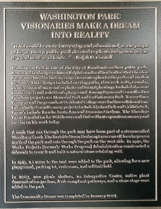
"What could be more interesting and educational, to the people at large, than a public park devoted to plants indigenous to our dry and semi-arid lands..."
-Ralph D. Cornell
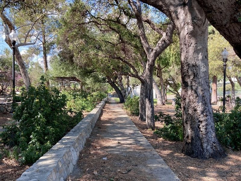
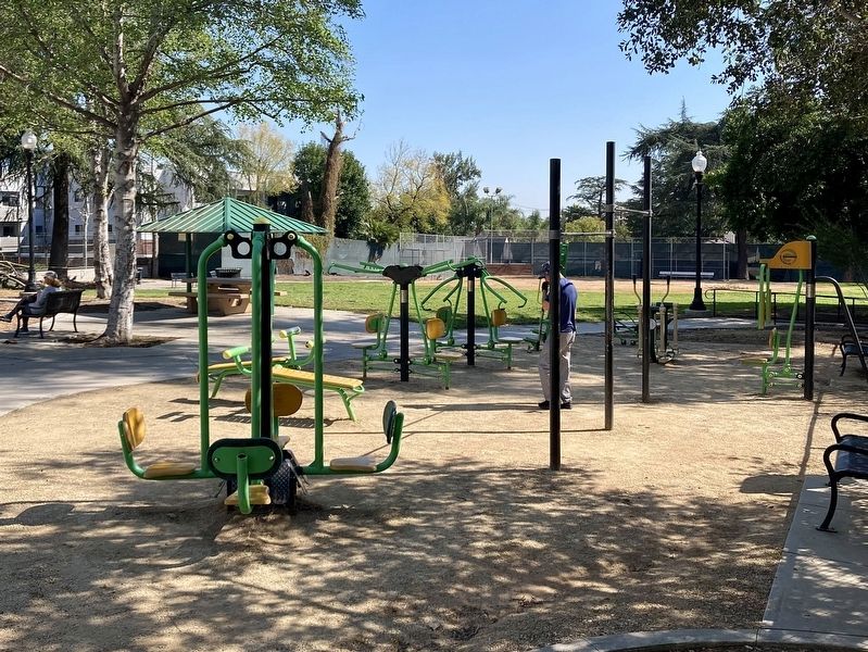
Washington Park is one of the City of Pasadena's earliest public parks. Renowned landscape architect Ralph Cornell and horticulturalist Theodore Payne were hired by the City in 1922 to create a plan for the park and “sunken gardens.” Their design included curving paths, river rock walls, ramadas, picnic areas, and many native plants and formal plantings. Included also were tennis courts and a children's playground. Among Payne and Cornellis other Pasadena projects are Memorial Park and La Pintoresca Park. Torrey Pines Preserve and the grounds at Occidental College were further collaborations. Individually, Cornell's many projects include Elysian Park and Griffith Park; Payne's include Rancho Santa Ana and Descanso Gardens. The Theodore Payne Foundation for Wildflowers and Native Plants operates a nursery and carries on his work today.
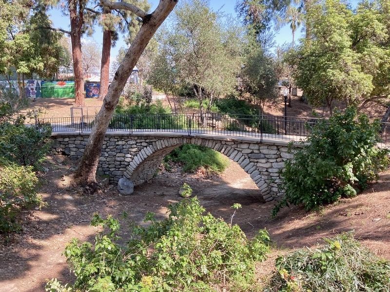
A wash that ran through the park may have been part of a stream called Woodbury Creek. The Eastside Storm Drain captures run-off for a large area north of the park and cuts through the park on the west side. In 1940, the Works Projects (formerly Works Progress) Administration constructed a sidewalk to cover it and built a natural stone retaining wall.
In 1945, 2.1 acres to the east were added to the park, allowing for a new playground, parking lot, restrooms, and softball field.
In 2003, new picnic shelters, an Interpretive Center, native plant demonstration gardens, ADA-compliant pathways, and a stone stage were added to the park.
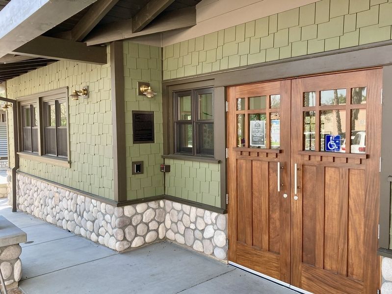
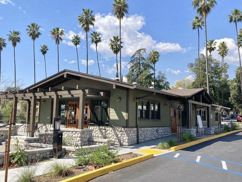
The Community House was completed in January 2024.
Erected 2024 by City of Pasadena.
Topics and series. This historical marker is listed in this topic list: Parks & Recreational Areas. In addition, it is included in the Works Progress Administration (WPA) projects series list. A significant historical year for this entry is 1922.
Location. 34° 10.124′ N, 118° 8.152′ W. Marker is in Pasadena, California, in Los Angeles County. It is in North Central. Marker can be reached from the intersection of Washington Boulevard and El Molino Avenue, on the left when traveling west. Touch for map. Marker is at or near this postal address: 725 E Washington Blvd, Pasadena CA 91104, United States of America. Touch for directions.
Other nearby markers. At least 8 other markers are within 2 miles of this marker, measured as the crow flies. Pasadena Motorcycle Club Quonset Hut (approx. 0.9 miles away); George Ellery Hale (approx. 0.9 miles away); Jackie and Mack Robinson
(approx. one mile away); Christmas Tree Lane (approx. 1.1 miles away); Tournament of Roses History Walk (approx. 1.3 miles away); Pasadena Central Library (approx. 1.4 miles away); Andrew McNally House (approx. 1.4 miles away); Pasadena Memorial for Fallen Officers (approx. 1˝ miles away). Touch for a list and map of all markers in Pasadena.
Credits. This page was last revised on March 31, 2024. It was originally submitted on March 19, 2024, by Craig Baker of Sylmar, California. This page has been viewed 52 times since then. Photos: 1, 2, 3, 4, 5, 6. submitted on March 19, 2024, by Craig Baker of Sylmar, California.
