Concord-Robert in Saint Paul in Ramsey County, Minnesota — The American Midwest (Upper Plains)
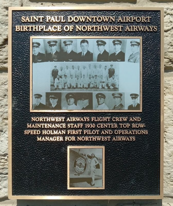
Saint Paul Downtown Airport
Birthplace of Northwest Airways
Photographed by McGhiever, August 15, 2023
1. Saint Paul Downtown Airport Marker
Northwest Airways flight crew and maintenance staff 1930 center top row Speed Holman first pilot and operations manager for Northwest Airways
Topics. This historical marker is listed in this topic list: Air & Space. A significant historical year for this entry is 1930.
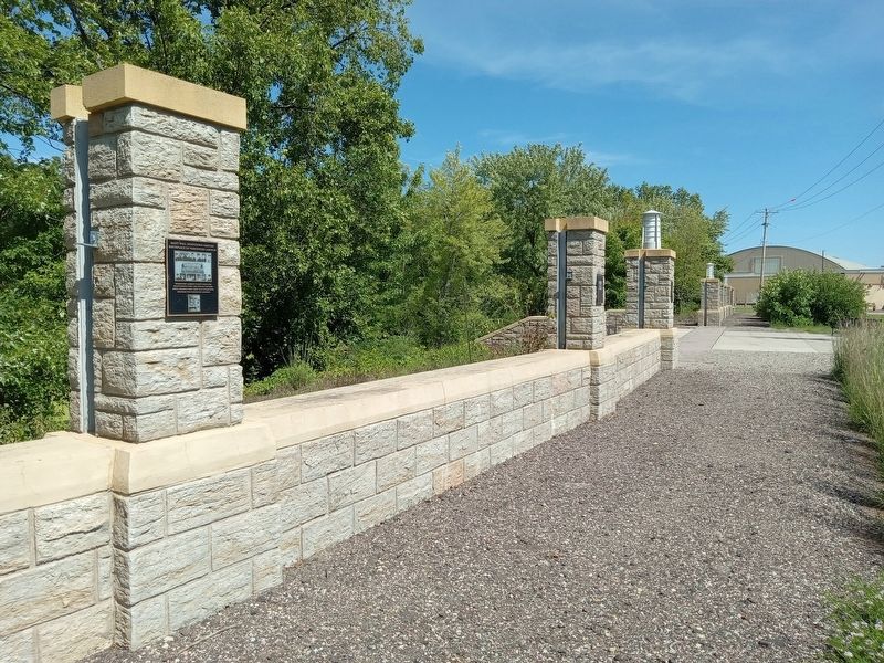
Location. 44° 56.57′ N, 93° 3.848′ W. Marker is in Saint Paul, Minnesota, in Ramsey County. It is in Concord-Robert. It is on Bayfield Street east of Plato Boulevard, on the left when traveling east. The marker is mounted on the floodwall north of the Saint Paul Downtown Airport parking lot. Touch for map. Marker is at or near this postal address: 644 Bayfield Street, Saint Paul MN 55107, United States of America. Touch for directions.

Regionally, this marker is in the Twin Cities Metropolitan Area. It is also in the American Midwest, in the Corn Belt, and in the Great River Road Region. Globally, it is in North America, the Western Hemisphere, the Western World, and the Anglosphere. Historically, it finds itself in what was once Rupert’s Land, the territory of the Mississippian Culture, and the Louisiana Purchase.
Other nearby markers. At least
this page online
Photographed by McGhiever, August 15, 2023
2. Saint Paul Downtown Airport Marker (left) on the airport floodwall
Credits. This page was last revised on March 20, 2024. It was originally submitted on March 19, 2024, by McGhiever of Minneapolis, Minnesota. This page has been viewed 221 times since then and 19 times this year. Photos: 1, 2. submitted on March 19, 2024, by McGhiever of Minneapolis, Minnesota. • Andrew Ruppenstein was the editor who published this page.
