Manti in Sanpete County, Utah — The American Mountains (Southwest)
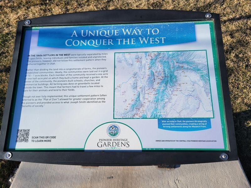
A Unique Way to Conquer the West
— Pioneer Heritage Gardens —
In the 1840s settlers in the west were typically separated by miles of open fields, leaving individuals and families isolated and unprotected. The pioneers, however, did not follow this settlement pattern when they gathered together in Utah.
Rather than dividing the land into a conglomerate of farms, the pioneers established communities, ideally, the communities were laid out in a grid of 10-1 acre blocks. Each member of the community received a one acre or one half-acre plot on which they built a home and kept a garden. At the center of the community, the pioneers built schools, churches, and commercial buildings. All farming was done on greenbelts located outside the town. This meant that farmers had to travel a few miles to care for their animals and tend to their fields.
Though not ever fully implemented, this unique settlement pattern (often referred to as the "Plat of Zion") allowed for greater cooperation among the pioneers and provided access to what Joseph Smith identified as the "benefits of society."
After arriving in Utah, the pioneers strategically planned their communities, creating a string of thriving settlements along the Wasatch Front.
Owned and operated by the Central Utah Pioneer Heritage Association
Erected by Central Utah Pioneer Heritage Association.
Topics. This historical marker is listed in these topic lists: Agriculture • Churches & Religion • Settlements & Settlers. A significant historical year for this entry is 1847.
Location. 39° 16.452′ N, 111° 38.093′ W. Marker is in Manti, Utah, in Sanpete County. Marker can be reached from 100 East. Marker located inside the Pioneer Heritage Garden's park. Touch for map. Marker is at or near this postal address: 525 N 100 East, Manti UT 84642, United States of America. Touch for directions.
Other nearby markers. At least 8 other markers are within walking distance of this marker. Pioneer Values: Cooperation (here, next to this marker); New Home, New Neighbors (here, next to this marker); Welcome to Historic Manti City Cemetery (a few steps from this marker); The Manti Pioneers (a few steps from this marker); Gathering Zion (a few steps from this marker); Faith and Miracles (within shouting distance of this marker); A Temple in Zion (within shouting distance of this marker); History on a Headstone (within shouting distance of this marker). Touch for a list and map of all markers in Manti.
Credits. This page was last revised on March 22, 2024. It was originally submitted on March 20, 2024, by Jeremy Snow of Cedar City, Utah. This page has been viewed 39 times since then. Photo 1. submitted on March 20, 2024, by Jeremy Snow of Cedar City, Utah. • Andrew Ruppenstein was the editor who published this page.
Editor’s want-list for this marker. photo of marker within its setting • Can you help?
