New Madrid Township in New Madrid County, Missouri — The American Midwest (Upper Plains)
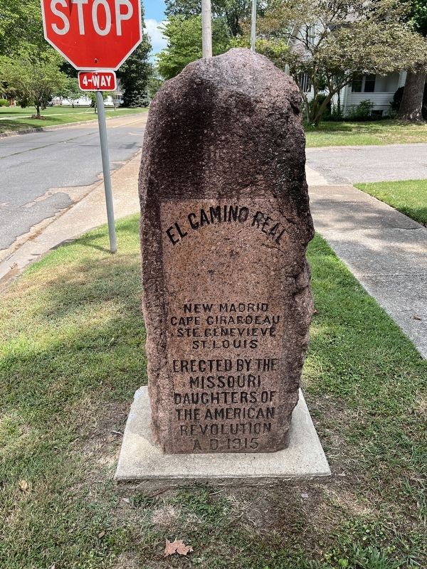
El Camino Real
Cape Girardeau
St. Genevieve
St. Louis
Erected by the
Missouri
Daughters of
the American
Revolution
A.D. 1915.
Topics. This historical marker is listed in this topic list: Colonial Era. A significant historical year for this entry is 1915.
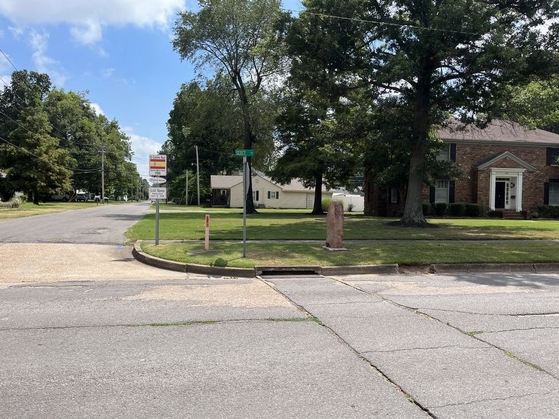
Location. 36° 35.316′ N, 89° 31.991′ W. Marker is in New Madrid, Missouri, in New Madrid County. It is in New Madrid Township. Marker is at the intersection of Kings Highway and Scott Street, on the right when traveling south on Kings Highway. Touch for map. Marker is at or near this postal address: 561 Kings Hwy, New Madrid MO 63869, United States of America. Touch for directions.
Other nearby markers. At least 8 other markers are within walking distance of this marker. Harry S. Truman (approx. 0.3 miles away); a different marker also named Harry S. Truman (approx. 0.3 miles away); 1854 Courthouse (approx. 0.3 miles away); A Growing State...A Shrinking County (approx. 0.3 miles away); The King's Road (approx. 0.3 miles away); Higgerson School (approx. 0.4 miles away); They Passed This Way (approx. 0.4 miles away); Water Route to Indian Territory (approx. 0.4 miles away). Touch for a list and map of all markers in New Madrid.
Related marker. Click here for another marker that is related to this marker.
Additional commentary.
1. D.A.R. Markers for El Camino Real
According to the nearby marker (at the "end" of the King's Highway (El Camino Real), see associated markers link), this is one of nine red granite stone markers placed by the Daughters of the American Revolution (D.A.R.) between 1915 and 1917. The DAR had campaigned for state funds to survey and document the original route. But this was not carried through. This monument was dedicated on April 11, 1916, with D.A.R. State Regent, Mrs. J.R. Salisbury presiding. The marker was originally located where the Cotton Belt Railroad crossed The King's Road, and has been moved several times before arriving at the present location. It has always stood along the route of the road.
— Submitted March 20, 2024, by Craig Swain of Leesburg, Virginia.
Credits. This page was last revised on March 20, 2024. It was originally submitted on March 20, 2024, by Craig Swain of Leesburg, Virginia. This page has been viewed 43 times since then. Photos: 1, 2. submitted on March 20, 2024, by Craig Swain of Leesburg, Virginia.

