Lansing in Fayette County, West Virginia — The American South (Appalachia)
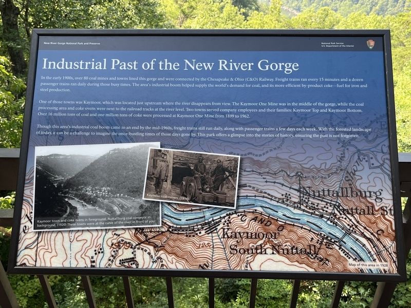
Industrial Past of the New River Gorge
New River Gorge National Park and Preserve
— National Park Service, U.S. Department of the Interior —
In the early 1900s, over 80 coal mines and towns lined this gorge and were connected by the Chesapeake & Ohio (C&O) Railway. Freight trains ran every 15 minutes and a dozen passenger trains ran daily during those busy times. The area's industrial boom helped supply the world's demand for coal, and its more efficient by-product coke - fuel for iron and steel production.
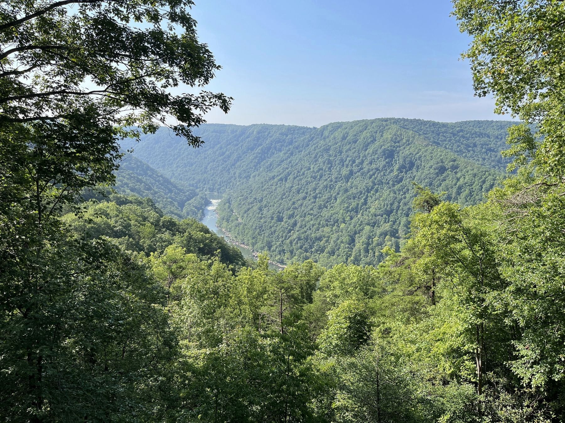
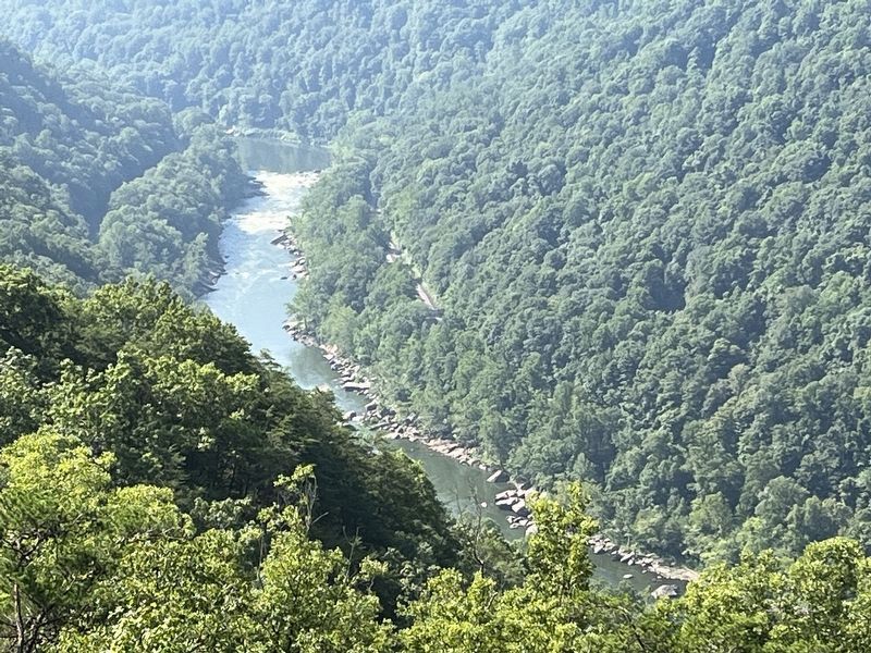
One of these towns was Kaymoor, which was located just upstream where the river disappears from view. The Kaymoor One Mine was in the middle of the gorge, while the coal processing area and coke ovens were next to the railroad tracks at the river level. Two towns served company employees and their families: Kaymoor Top and Kaymoor Bottom. Over 16 million tons of coal and one million tons of coke were processed at Kaymoor One Mine from 1899 to 1962.
Though this area's industrial coal boom came to an end by the mid-1960s, freight trains still run daily, along with passenger trains a few days each week. With the forested landscape of today, it can be a challenge to imagine the once-bustling times of those days gone by. This park offers a glimpse into the stories of history, ensuring the past is not forgotten.
Erected by National Park Service, U.S. Department of the Interior.
Topics. This historical marker is listed in these topic lists: Industry & Commerce • Railroads & Streetcars • Waterways & Vessels. A significant historical year for this entry is 1899.
Location. 38° 4.196′ N, 81° 4.545′ W. Marker is in Lansing, West Virginia, in Fayette County. Marker is on Visitor Center Road. Located at an overlook behind the Canyon Rim visitor center, New River Gorge National Park. Touch for map. Marker is at or near this postal address: 162 Visitor Center Rd, Lansing WV 25862, United States of America. Touch for directions.
Other nearby markers. At least 8 other markers are within walking distance of this marker. Trail to Bridge Overlook (here, next to this marker); The Bridge (here, next to this marker); The Deceptive Forest (a few steps from this marker); New River (a few steps from this marker); New River Gorge Scenic Drives (within shouting distance of this marker); Smoke, Coke, Coal, and Kaymoor (within shouting distance of this marker); Welcome to New River Gorge National River (within shouting distance of this marker); New River Gorge Bridge (about 300 feet away, measured in a direct line). Touch for a list and map of all markers in Lansing.
Photographed By Craig Swain, August 5, 2023
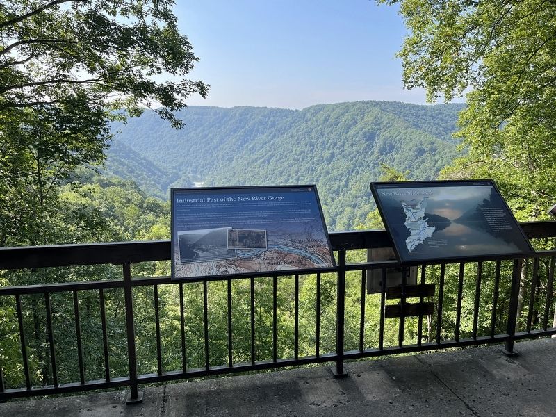
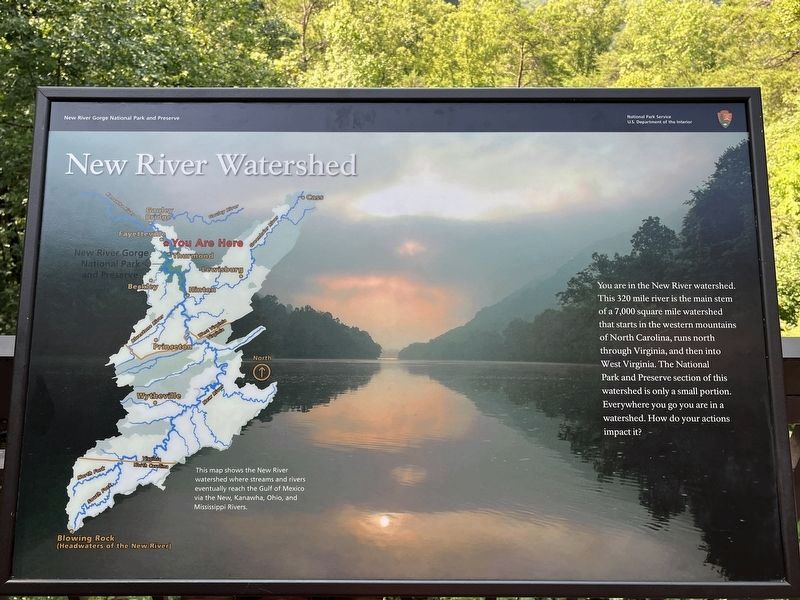
5. New River Watershed
Informational marker beside the historical marker.
You are in the New River watershed. This 320 mile river is the main stem of a 7,000 square mile watershed that starts in the western mountains of North Carolina, runs north through Virginia, and then into West Virginia. The National Park and Preserve section of this watershed is only a small portion. Everywhere you go you are in a watershed. How do your actions impact it?
You are in the New River watershed. This 320 mile river is the main stem of a 7,000 square mile watershed that starts in the western mountains of North Carolina, runs north through Virginia, and then into West Virginia. The National Park and Preserve section of this watershed is only a small portion. Everywhere you go you are in a watershed. How do your actions impact it?
Credits. This page was last revised on March 24, 2024. It was originally submitted on March 20, 2024, by Craig Swain of Leesburg, Virginia. This page has been viewed 41 times since then. Photos: 1, 2, 3, 4, 5. submitted on March 20, 2024, by Craig Swain of Leesburg, Virginia.
