Erin in Wellington County, Ontario — Central Canada (North America)
Stanley Park
History of a "Destination"
— 1888-1960's —
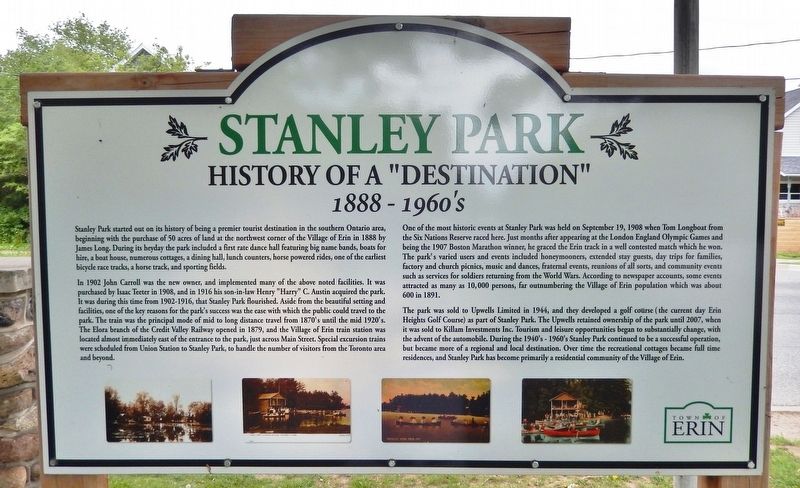
Stanley Park started out on its history of being a premier tourist destination in the southern Ontario area, beginning with the purchase of 50 acres of land at the northwest corner of the Village of Erin in 1888 by James Long. During its heyday the park included a first rate dance hall featuring big name bands, boats for hire, a boat house, numerous cottages, a dining hall, lunch counters, horse powered rides, one of the earliest bicycle race tracks, a horse track, and sporting fields.
In 1902 John Carroll was the new owner, and implemented many of the above noted facilities. It was purchased by Isaac Teeter in 1908, and in 1916 his son-in-law Henry "Harry" C. Austin acquired the park. It was during this time from 1902-1916, that Stanley Park flourished. Aside from the beautiful setting and facilities, one of the key reasons for the park's success was the ease with which the public could travel to the park. The train was the principal mode of mid to long distance travel from 1870's until the mid 1920's. The Elora branch of the Credit Valley Railway opened in 1879, and the Village of Erin train station was located almost immediately east of the entrance to the park, just across Main Street. Special excursion trains were scheduled from Union Station to Stanley Park, to handle the number of visitors from the Toronto area and beyond.
One of the most historic events at Stanley Park was held on September 19, 1908 when Tom Longboat from the Six Nations Reserve raced here. Just months after appearing at the London England Olympic Games and being the 1907 Boston Marathon winner, he graced the Erin track in a well contested match which he won. The park's varied users and events included honeymooners, extended stay guests, day trips for families, factory and church picnics, music and dances, fraternal events, reunions of all sorts, and community events such as services for soldiers returning from the World Wars. According to newspaper accounts, some events attracted as many as 10,000 persons, far outnumbering the Village of Erin population which was about 600 in 1891.
The park was sold to Upwells Limited in 1944, and they developed a golf course (the current day Erin Heights Golf Course) as part of Stanley Park. The Upwells retained ownership of the park until 2007, when it was sold to Killam Investments Inc. Tourism and leisure opportunities began to substantially change, with the advent of the automobile. During the 1940's-1960's Stanley Park continued to be a successful operation, but became more of a regional and local destination. Over time the recreational cottages became full time residences, and Stanley Park has become primarily a residential community of the Village of Erin.
Topics. This
historical marker is listed in these topic lists: Entertainment • Parks & Recreational Areas • Railroads & Streetcars • Sports. A significant historical year for this entry is 1888.
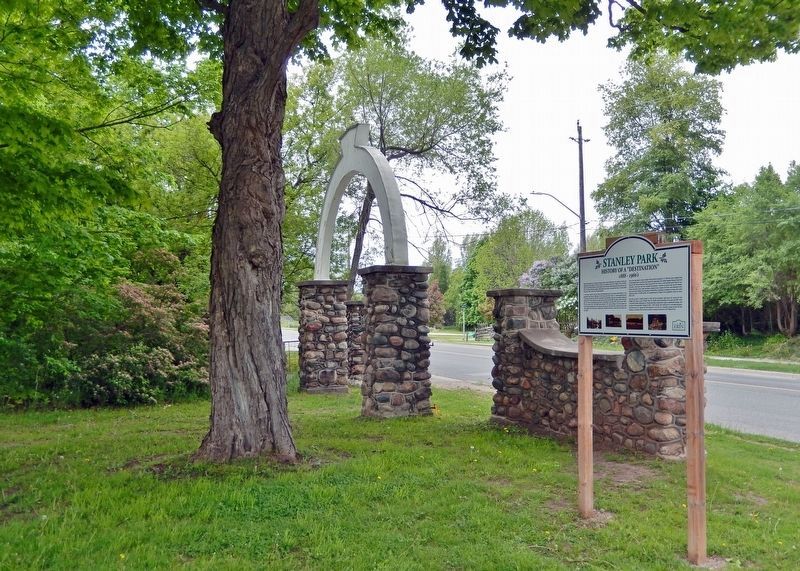
Location. 43° 46.657′ N, 80° 4.44′ W. Marker is in Erin, Ontario, in Wellington County. Marker is at the intersection of Main Street (County Road 124) and Overland Drive, on the right when traveling south on Main Street. The marker is located at the southwest corner of the intersection. Touch for map. Marker is at or near this postal address: 264 Main Street, Erin ON N0B 1T0, Canada. Touch for directions.
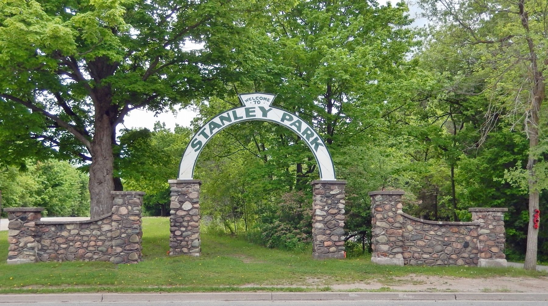
Other nearby markers. At least 6 other markers are within 18 kilometers of this marker, measured as the crow flies. Stanley Park Gates and Arch (here, next to this marker); Future Past 2412 (approx. 1.1 kilometers away); Mill History in Erin Village (approx. 1.2 kilometers away); Erin Township Park (approx. 3.7 kilometers away); Dufferin County Court House (approx. 15.9 kilometers away); Acton Town Hall (approx. 16.5 kilometers away).
Related markers. Click here for a list of markers that are related to this marker.
Also see . . . A Brief History of Erin Village: Stanley Park (pdf)
. Excerpt:
(by Steve Revell) In the northwest corner of the village, the West Credit [river] was diverted not for the commerce of milling, but to deliver fresh water to two small man-made lakes for recreational purposes. James and Mary Long, original owners of the property, named it Stanley Park in memory of their infant son who had drowned in one of the lakes. Early attractions included a merry-go-round powered by a team of heavy horses, which were also used in winter to haul blocks of ice cut from the lake for use by summer cottagers for refrigeration. The two-storey boat house, the rowboats and, of course, the scullers have long since disappeared, yet the small lakes remain, though now shallow, silted and clogged with waterlilies. But in the 1890s and for many decades thereafter, Stanley Park was a recreational mecca for tourists who arrived by train at the nearby station and walked under the distinctive cobblestone and wooden archway to the park.(Submitted on March 22, 2024, by Cosmos Mariner of Cape Canaveral, Florida.)
Credits. This page was last revised on March 22, 2024. It was originally submitted on March 21, 2024, by Cosmos Mariner of Cape Canaveral, Florida. This page has been viewed 58 times since then. Photos: 1, 2, 3. submitted on March 22, 2024, by Cosmos Mariner of Cape Canaveral, Florida.


