Rentiesville in McIntosh County, Oklahoma — The American South (West South Central)
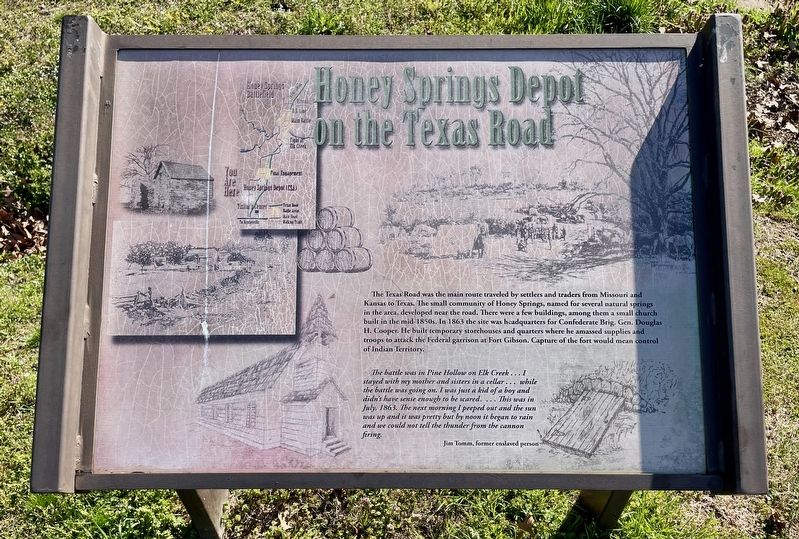
Honey Springs Depot on the Texas Road
Honey Springs Battlefield
— Interpretive Trail Six · Honey Springs Depot —
The battle was in Pine Hollow on Elk Creek... I stayed with my mother and sisters in a cellar... while the battle was going on. I was just a kid of a boy and didn't have sense enough to be scared.... This was in July, 1863. The next morning I peeped out and the sun was up and it was pretty but by noon it began to rain and we could not tell the thunder from the cannon firing.
Jim Tomm, former enslaved person
Erected 2017 by Friends of Honey Springs Battlefield.
Topics and series. This historical marker is listed in this topic list: War, US Civil. In addition, it is included in the Honey Springs Battlefield series list. A significant historical month for this entry is July 1863.
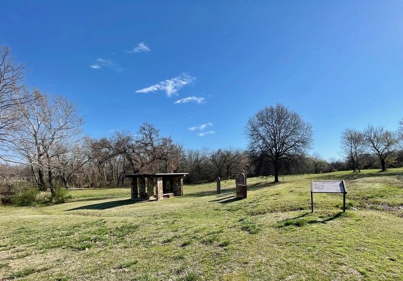
Location. 35° 31.813′ N, 95° 29.168′ W. Marker is in Rentiesville, Oklahoma, in McIntosh County. Marker is on 11th Street, 0.6 miles north of Gertrude Avenue, on the right when traveling north. Touch for map. Marker is at or near this postal address: 329 11th St, Rentiesville OK 74459, United States of America. Touch for directions.
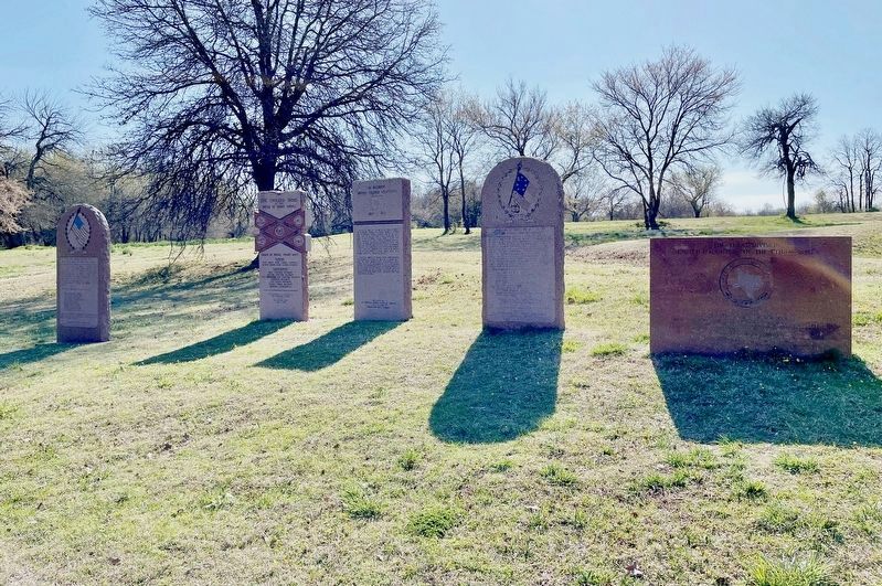
Other nearby markers. At least 8 other markers are within walking distance of this marker. Texas Monument (here, next to this marker); Confederate Soldiers (a few steps from this marker); 1st Regiment Kansas Colored Volunteers (a few steps from this marker); Five Civilized Tribes in the Battle of Honey Springs (a few steps from this marker); Union Soldiers (a few steps from this marker); How We Know What We Know · Soldiers' Letters (a few steps from this marker); Battlefield Archaeology (within shouting distance of this marker); The Confederate Headquarters and Reserve Units (within shouting distance of this marker). Touch for a list and map of all markers in Rentiesville.
Regarding Honey Springs Depot on the Texas Road. The Honey Springs Battlefield is listed on the National Register of Historic Places (9/29/1970) and is a National Historic Landmark (02/27/2013).
Also see . . .
1. The Battle of Honey Springs - Oklahoma Historical Society. (Submitted on March 22, 2024, by Mark Hilton of Montgomery, Alabama.)
2. Info on Honey Springs Battlefield and Tours. (Submitted on March 22, 2024, by Mark Hilton of Montgomery, Alabama.)
Credits. This page was last revised on March 22, 2024. It was originally submitted on March 22, 2024, by Mark Hilton of Montgomery, Alabama. This page has been viewed 47 times since then. Photos: 1, 2, 3, 4, 5. submitted on March 22, 2024, by Mark Hilton of Montgomery, Alabama.
