Rentiesville in McIntosh County, Oklahoma — The American South (West South Central)
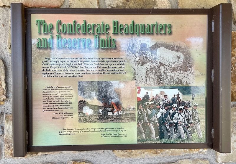
The Confederate Headquarters and Reserve Units
Honey Springs Battlefield
— Interpretive Trail Six · Honey Springs Depot —
Inscription.
Brig. Gen. Cooper held Scanland's and Gillette's cavalry squadrons in reserve to
guard the supply depot. As the battle progressed, he ordered the squadrons to join the
Creek regiments protecting his left flank. When the Confederate troops started their
retreat, Cooper ordered Col. Walker's 1st Choctaw and Chickasaw Regiment to delay
the Federal advance while troops evacuated food stores, supplies, ammunition, and
equipment. Teamsters loaded as many supplies as possible and began a retreat toward
North Fork Town on the Canadian River.
I had charge of a squad [which] under the direction of General Cooper the commissary and quartermaster stores were burned... the attack was made by the Federals which continued until about 12 o'clock when our lines were broken the entire force utterly routed. The Federals were within 200 yards of myself and detail while we were setting fire to the commissary and Quartermaster stores....
Corp. W. K. Makemson, 1st Choctaw and
Chickasaw Regiment, CSA
Then the enemy broke, us after them. We got into their office in time to save their pay rolls, a large quantity of dried beef, ten thousand pounds of brown sugar in big old fashioned hogsheads.
Capt. Ben Van Horn, Company I,
1st Kansas Colored Infantry, USA
Erected 2017 by Friends of Honey Springs Battlefield.
Topics and series. This historical marker is listed in this topic list: War, US Civil. In addition, it is included in the Honey Springs Battlefield series list.
Location. 35° 31.826′ N, 95° 29.163′ W. Marker is in Rentiesville, Oklahoma, in McIntosh County. Marker can be reached from 11th Street, 0.6 miles north of Gertrude Avenue, on the right when traveling north. Touch for map. Marker is at or near this postal address: 329 11th St, Rentiesville OK 74459, United States of America. Touch for directions.
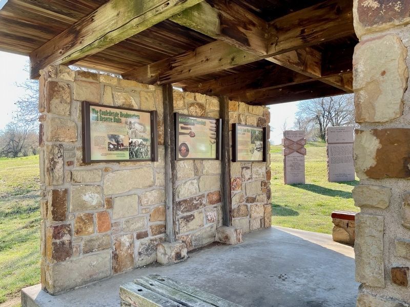
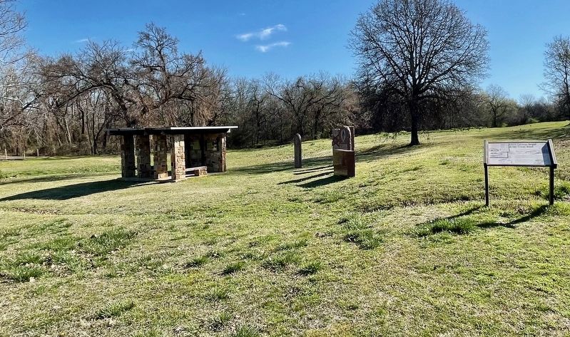
Other nearby markers. At least 8 other markers are within walking distance of this marker. Battlefield Archaeology (here, next to this marker); How We Know What We Know · Soldiers' Letters (here, next to this marker); Union Soldiers (a few steps from this marker); Five Civilized Tribes in the Battle of Honey Springs (a few steps from this marker); 1st Regiment Kansas Colored Volunteers (a few steps from this marker); Confederate Soldiers (a few steps from this marker); Texas Monument (a few steps from this marker); Honey Springs Depot on the Texas Road (within shouting distance of this marker). Touch for a list and map of all markers in Rentiesville.
Credits. This page was last revised on March 22, 2024. It was originally submitted on March 22, 2024, by Mark Hilton of Montgomery, Alabama. This page has been viewed 36 times since then. Photos: 1, 2, 3. submitted on March 22, 2024, by Mark Hilton of Montgomery, Alabama.


