Rentiesville in McIntosh County, Oklahoma — The American South (West South Central)
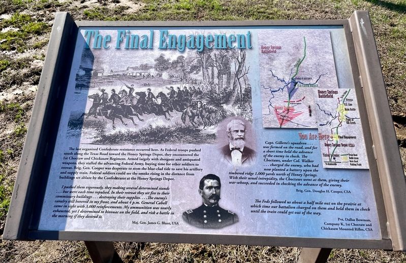
The Final Engagement
Honey Springs Battlefield
— Interpretive Trail Five · Last Engagement —
I pushed them vigorously, they making several determined stands but were each time repulsed. In their retreat they set fire to their commissary buildings... destroying their supplies....The enemy's cavalry still hovered in my front, and about 4 p.m. General Cabell came in sight with 3,000 reinforcements. My ammunition was nearly exhausted, yet I determined to bivouac on the field, and risk a battle in the morning if they desired it.
Maj. Gen. James G. Blunt, USA
Capt. Gillette's squadron ... was formed on the road, and for a short time held the advance of the enemy in check. The Choctaws, under Col. Walker ... charged the enemy, who had now planted a battery upon the timbered ridge 1,000 yards north of Honey Springs. With their usual intrepidity, the Choctaws went at them, giving their war-whoop, and succeeded in checking the advance of the enemy.
Brig. Gen. Douglas H. Cooper, CSA
Erected 2019 by Friends of Honey Springs Battlefield.
Topics and series. This historical marker is listed in this topic list: War, US Civil. In addition, it is included in the Honey Springs Battlefield series list.
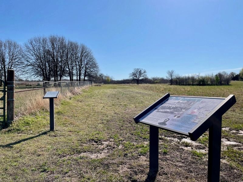
Location. 35° 32.291′ N, 95° 28.906′ W. Marker is in Rentiesville, Oklahoma, in McIntosh County. Marker is on Honey Springs Battlefield Road, 0.1 miles north of East 1020 Road, on the right when traveling north. Touch for map. Marker is in this post office area: Rentiesville OK 74459, United States of America. Touch for directions.
Other nearby markers. At least 8 other markers are within walking distance of this marker. Private Cemetery (here, next to this marker); William Frederick McIntosh (a few steps from this marker); 1st Choctaw & Chickasaw Mounted Rifles (about 300 feet away, measured in a direct line); Treating the Wounded (about 300 feet away); The Armies Rest and Recuperate (about 300 feet away); Burying the Dead (about 400 feet away); The Confederate Headquarters and Reserve Units (approx. 0.6 miles away); Battlefield Archaeology (approx. 0.6 miles away). Touch for a list and map of all markers in Rentiesville.
Regarding The Final Engagement.
The Honey Springs Battlefield is listed on the National Register of Historic Places (9/29/1970) and is a National Historic Landmark (02/27/2013).
Credits. This page was last revised on March 22, 2024. It was originally submitted on March 22, 2024, by Mark Hilton of Montgomery, Alabama. This page has been viewed 53 times since then. Photos: 1, 2, 3, 4. submitted on March 22, 2024, by Mark Hilton of Montgomery, Alabama.


