Rentiesville in McIntosh County, Oklahoma — The American South (West South Central)
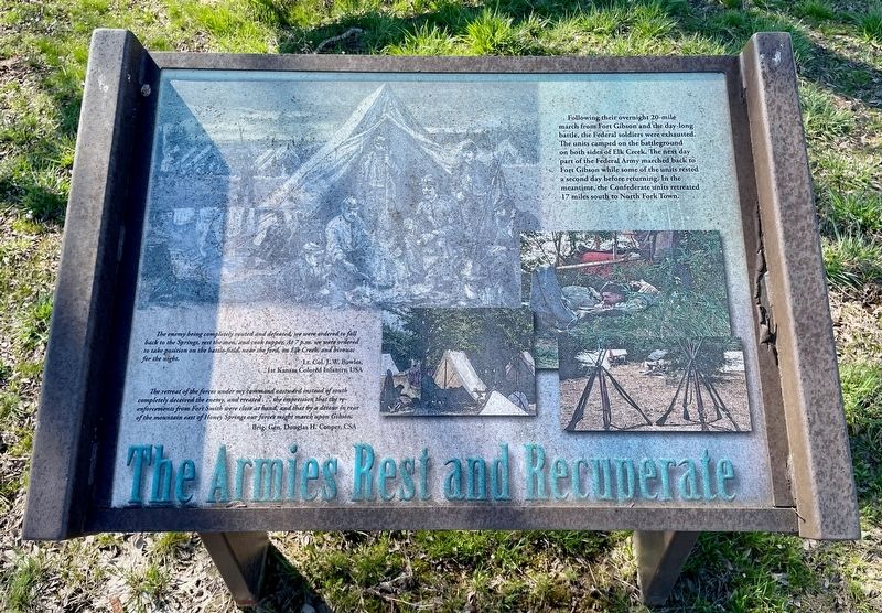
The Armies Rest and Recuperate
Honey Springs Battlefield
— Interpretive Trail Five · Last Engagement —
The enemy being completely routed and defeated, we were ordered to fall back to the Springs, rest the men, and cook supper. At 7 p.m. we were ordered to take position on the battle field, near the ford, on Elk Creek, and bivouac for the night.
Lt. Col. J. W. Bowles,
1st Kansas Colored Infantry, USA
The retreat of the forces under my command eastward instead of south completely deceived the enemy, and created... the impression that the re- enforcements from Fort Smith were close at hand, and that by a detour in rear of the mountain east of Honey Springs our forces might march upon Gibson.
Brig. Gen. Douglas H. Cooper, CSA
Erected 2019 by Friends of Honey Springs Battlefield.
Topics and series. This historical marker is listed in this topic list: War, US Civil. In addition, it is included in the Honey Springs Battlefield series list.
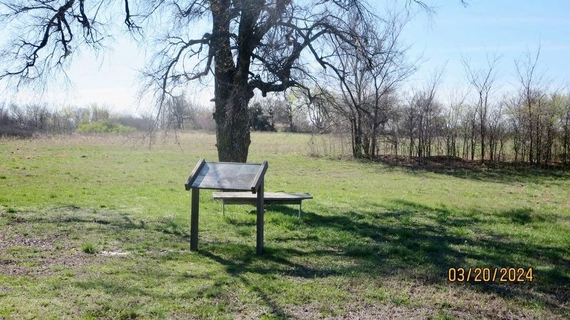
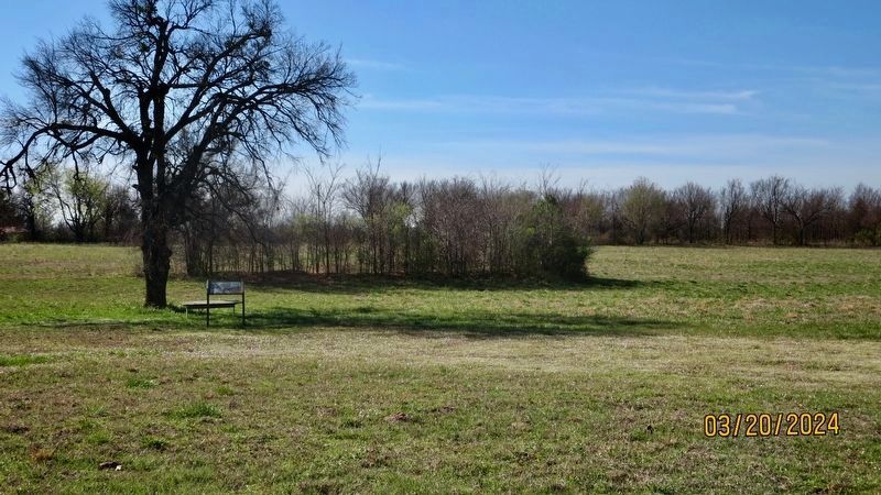
Location. 35° 32.28′ N, 95° 28.836′ W. Marker is in Rentiesville, Oklahoma, in McIntosh County. Marker can be reached from Honey Springs Battlefield Road north of East 1020 Road, on the right when traveling north. Touch for map. Marker is in this post office area: Rentiesville OK 74459, United States of America. Touch for directions.
Other nearby markers. At least 8 other markers are within walking distance of this marker. 1st Choctaw & Chickasaw Mounted Rifles (within shouting distance of this marker); Burying the Dead (within shouting distance of this marker); Treating the Wounded (within shouting distance of this marker); Private Cemetery (about 300 feet away, measured in a direct line); William Frederick McIntosh (about 300 feet away); The Final Engagement (about 300 feet away); The Confederate Headquarters and Reserve Units (approx. 0.6 miles away); Battlefield Archaeology (approx. 0.6 miles away). Touch for a list and map of all markers in Rentiesville.
Credits. This page was last revised on March 22, 2024. It was originally submitted on March 22, 2024, by Mark Hilton of Montgomery, Alabama. This page has been viewed 44 times since then. Photos: 1, 2, 3. submitted on March 22, 2024, by Mark Hilton of Montgomery, Alabama.


