Near Oktaha in McIntosh County, Oklahoma — The American South (West South Central)
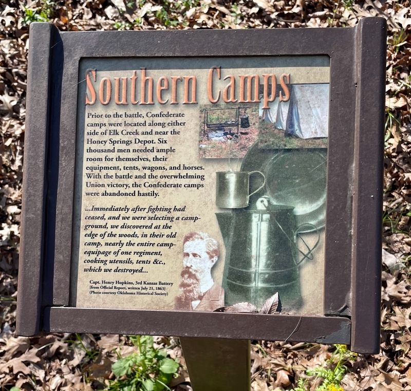
Southern Camps
Honey Springs Battlefield
— Interpretive Trail Four · Battle at the Bridge —
...Immediately after fighting had ceased, and we were selecting a campground, we discovered at the edge of the woods, in their old camp, nearly the entire camp equipage of one regiment, cooking utensils, tents &tc., which we destroyed...
Capt. Henry Hopkins, 3rd Kansas Battery
[from Official Report, written July 21, 1863]
(Photo courtesy Oklahoma Historical Society)
Erected 2019 by Friends of Honey Springs Battlefield.
Topics and series. This historical marker is listed in this topic list: War, US Civil. In addition, it is included in the Honey Springs Battlefield series list. A significant day of the year for for this entry is July 21.
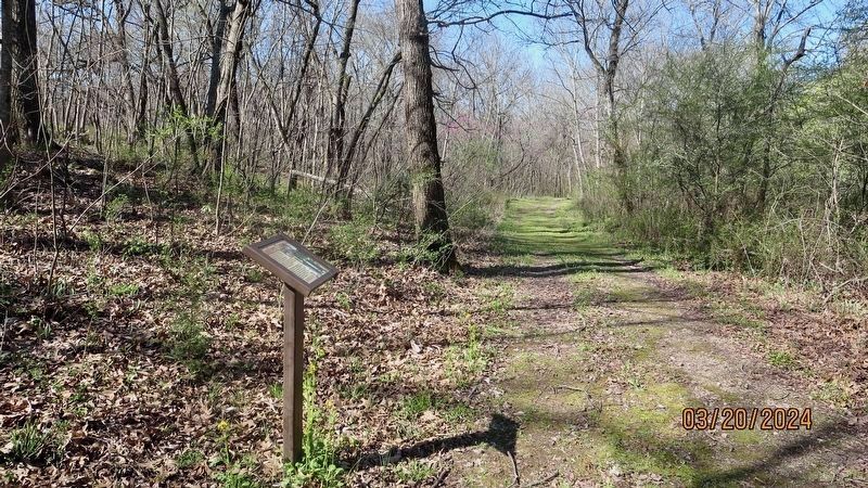
Location. 35° 33.138′ N, 95° 28.354′ W. Marker is near Oktaha, Oklahoma, in McIntosh County. Marker can be reached from Honey Springs Battlefield Road, 1˝ miles north of East 1020 Road, on the right when traveling north. Located about 1000 feet east of the trailhead. Touch for map. Marker is in this post office area: Oktaha OK 74450, United States of America. Touch for directions.
Other nearby markers. At least 8 other markers are within walking distance of this marker. Defending the Bridge · and other Fighting along Elk Creek (within shouting distance of this marker); The Toll Bridge and Fords · Crossing Elk Creek (within shouting distance of this marker); How We Know What We Know · Official Reports (within shouting distance of this marker); How We Know What We Know · Letters, Diaries, & On-The-Spot Reporting (about 600 feet away, measured in a direct line); Farming and Communities · along the Texas Road (about 600 feet away); How We Know What We Know · Archeological Surveys & Interviews (about 700 feet away); Battle for the Bridge (approx. 0.2 miles away); 1st and 2nd Regiments of Cherokee Mounted Rifles (approx. 0.3 miles away). Touch for a list and map of all markers in Oktaha.
Credits. This page was last revised on March 24, 2024. It was originally submitted on March 22, 2024, by Mark Hilton of Montgomery, Alabama. This page has been viewed 48 times since then. Photos: 1, 2. submitted on March 22, 2024, by Mark Hilton of Montgomery, Alabama.

