Rentiesville in McIntosh County, Oklahoma — The American South (West South Central)
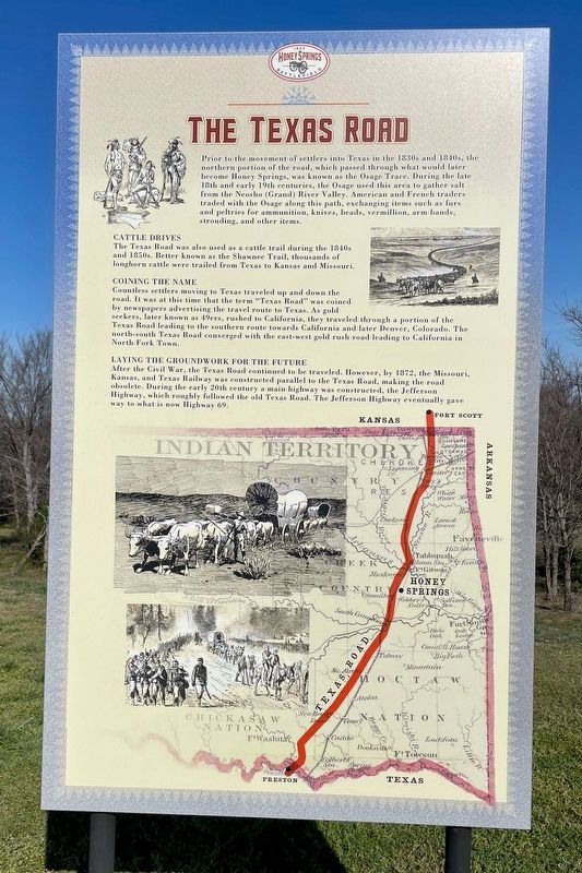
The Texas Road
Honey Springs Battlefield - 1863
Cattle Drives
The Texas Road was also used as a cattle trail during the 1840s and 1850s. Better known as the Shawnee Trail, thousands of longhorn cattle were trailed from Texas to Kansas and Missouri.
Coining the Game
Countless settlers moving to Texas traveled up and down the road. It was at this time that the term "Texas Road" was coined by newspapers advertising the travel route to Texas. As gold seekers, later known as 49ers, rushed to California, they traveled through a portion of the Texas Road leading to the southern route towards California and later Denver, Colorado. The north-south Texas Road converged with the east-west gold rush road leading to California in North Fork Town.
Laying the Groundwork for the Future
After the Civil War, the Texas Road continued to be traveled. However, by 1872, the Missouri, Kansas, and Texas Railway was constructed parallel to the Texas Road, making the road obsolete. During the early 20th century a main highway was constructed, the Jefferson Highway, which roughly followed the old Texas Road. The Jefferson Highway eventually gave way to what is now Highway 69.
Topics and series. This historical marker is listed in this topic list: Roads & Vehicles. In addition, it is included in the Honey Springs Battlefield series list. A significant historical year for this entry is 1872.
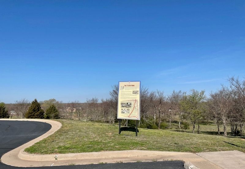
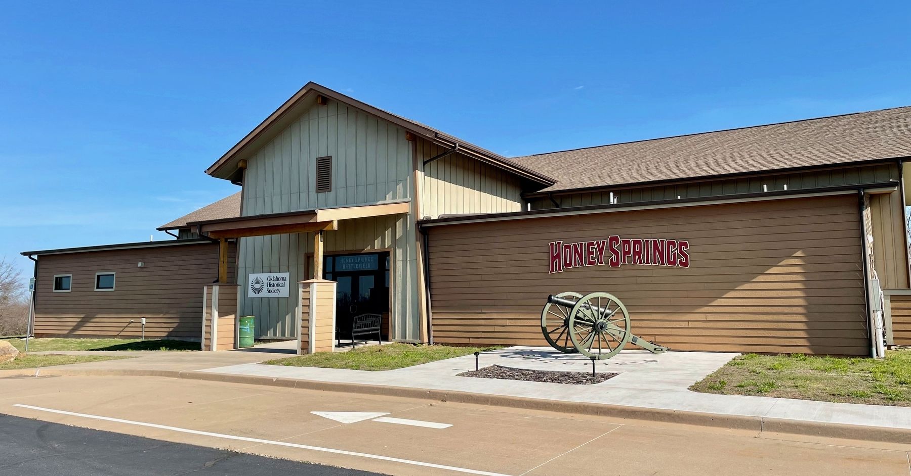
Location. 35° 31.429′ N, 95° 29.128′ W. Marker is in Rentiesville, Oklahoma, in McIntosh County. Marker can be reached from Gertrude Avenue east of 11th Street, on the left when traveling east. Located at the Honey Springs Battlefield Visitors Center. Touch for map. Marker is at or near this postal address: 423159 E 1030 Rd, Rentiesville OK 74459, United States of America. Touch for directions.
Other nearby markers. At least 8 other markers are within walking distance of this marker. Honey Springs Depot on the Texas Road (approx. 0.4 miles away); Texas Monument (approx. 0.4 miles away); Confederate Soldiers (approx. 0.4 miles away); 1st Regiment Kansas Colored Volunteers (approx. 0.4 miles away); Five Civilized Tribes in the Battle of Honey Springs (approx. half a mile away); Union Soldiers (approx.
half a mile away); How We Know What We Know · Soldiers' Letters (approx. half a mile away); Battlefield Archaeology (approx. half a mile away). Touch for a list and map of all markers in Rentiesville.
Related markers. Click here for a list of markers that are related to this marker.
Also see . . . Wikipedia article on the Texas Road. (Submitted on March 23, 2024, by Mark Hilton of Montgomery, Alabama.)
Credits. This page was last revised on March 23, 2024. It was originally submitted on March 23, 2024, by Mark Hilton of Montgomery, Alabama. This page has been viewed 38 times since then. Photos: 1, 2, 3. submitted on March 23, 2024, by Mark Hilton of Montgomery, Alabama.


