Near Oktaha in Muskogee County, Oklahoma — The American South (West South Central)
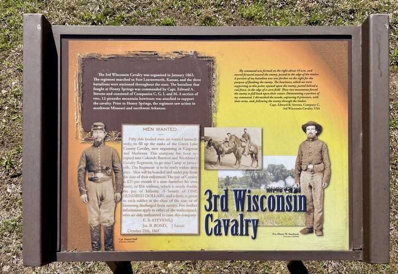
3rd Wisconsin Cavalry
Honey Springs Battlefield
— Interpretive Trail One · Federal Bivouac —
My command was formed on the right about 10 a.m. and moved forward toward the enemy, posted in the edge of the timber. A portion of my battalion was sent farther on the right for the purpose of flanking the enemy. The howitzers, which we were supporting at this point, opened upon the enemy, posted behind a rail fence, in the edge of a corn-field. These two movements forced the enemy to fall back upon their center. Dismounting a portion of my command, I skirmished the woods, capturing 8 prisoners, with their arms, and, following the enemy through the timber.
Capt. Edward R. Stevens, Company C,
3rd Wisconsin Cavalry, USA
Erected 2019 by Friends of Honey Springs Battlefield.
Topics and series. This historical marker is listed in this topic list: War, US Civil . In addition, it is included in the Honey Springs Battlefield series list. A significant historical month for this entry is January 1862.
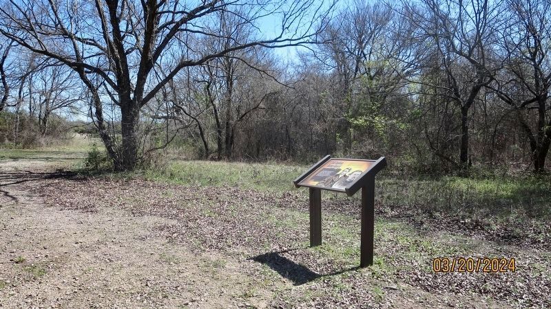
Location. 35° 33.877′ N, 95° 28.337′ W. Marker is near Oktaha, Oklahoma, in Muskogee County. Marker can be reached from Honey Springs Battlefield Road, 2.4 miles north of East 1020 Road, on the right when traveling north. Touch for map. Marker is in this post office area: Oktaha OK 74450, United States of America. Touch for directions.
Other nearby markers. At least 8 other markers are within walking distance of this marker. The March from Fort Gibson (a few steps from this marker); 2nd Indian Home Guard (within shouting distance of this marker); The Army of the Frontier (within shouting distance of this marker); Prelude to Battle (within shouting distance of this marker); Smith's Battery of Kansas Artillery (about 500 feet away, measured in a direct line); Short Trail to the Creek (about 600 feet away); 1st Kansas Colored Volunteer Infantry (about 600 feet away); Hopkin's Battery of Kansas Artillery (about 600 feet away). Touch for a list and map of all markers in Oktaha.
Credits. This page was last revised on March 23, 2024. It was originally submitted on March 23, 2024, by Mark Hilton of Montgomery, Alabama. This page has been viewed 37 times since then. Photos: 1, 2. submitted on March 23, 2024, by Mark Hilton of Montgomery, Alabama.

