Pigtown in Baltimore, Maryland — The American Northeast (Mid-Atlantic)
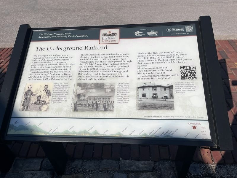
The Underground Railroad
The Historic National Road, America's First Federally Funded Highway
The Underground Railroad was a network of American abolitionists who aided and sheltered 100,000 African Americans seeking freedom from enslavement in the South. These Freedom Seekers often journeyed north by land, and many crossed into the free state of Pennsylvania from the Washington DC. area either through Baltimore or Western Maryland, both corridors well served by the Baltimore & Ohio Railroad at the time.
The B&O Railroad Museum has documented the trips of at least 27 Freedom Seekers using the B&O Railroad to aid their treks. These records show that at least eight passed through the 1851 B&O Mount Clare Railroad Station and the tracks beside it, now directly in front of you. In 2021, the National Park Service designated the site a National Underground Railroad Network to Freedom Site. The museum offers an in-depth exhibition on this history inside the station.
The land the B&O was founded on was originally home to slaves owned by James Carroll. In 1827, the first B&O President Philip Thomas (a Quaker) established policies that banned the use of slave labor by the railroad.
More information on our site's Underground Railroad history can be found at www.borail.org/undergroundRR or by scanning the QR code.
[Captions:]
Henry "Box" Brown, a freedom seeker who shipped himself in a box from Richmond, VA to Philadelphia, PA, is freed from his packing crate by members of the Vigilance Committee. Brown's journey took him to this historic site in front of you.
Political cartoon showing a train called Immediate Emancipation being pulled by a locomotive called the Liberator showing the connection between the railroads and the idea of freedom.
Railroad tracks that once carried Freedom Seekers away from slavery pass by the B&O's Mount Clare Station, which stands in front of you.
Erected by America's Byways; Maryland Heritage Areas Authority; National Road Heritage Foundation.
Topics and series. This historical marker is listed in these topic lists: Abolition & Underground RR • African Americans • Churches & Religion • Railroads & Streetcars. In addition, it is included in the Baltimore and Ohio Railroad (B&O), the National Underground Railroad Network to Freedom, the Quakerism, and the The Historic National Road series lists. A significant historical year for this entry is 1851.
Location. 39° 17.117′ N, 76° 37.91′ W. Marker is in Baltimore, Maryland. It is in Pigtown. Marker is on South Poppleton Street just south of West Pratt Street, on the left when traveling east. Touch for map.

Photographed By Devry Becker Jones (CC0), March 22, 2024
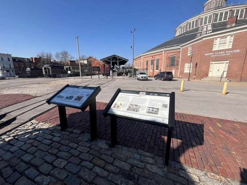
2. Historic National Road Markers at the parking lot of the B&O Railroad Museum
Other nearby markers. At least 8 other markers are within walking distance of this marker. The National Road (here, next to this marker); Mount Clare Shops (a few steps from this marker); Site of Old Relay Station and Hotel (within shouting distance of this marker); Pullman Troop Sleeper No. 7437 (within shouting distance of this marker); First Stone of the Balt. & Ohio Rail Road (within shouting distance of this marker); Luther G. Smith (about 300 feet away, measured in a direct line); The Car That Carried Ike on His Last Trip (about 300 feet away); Connectivity: Street Art at the Intersection of Rail, Community, & Identity (about 400 feet away). Touch for a list and map of all markers in Baltimore.
Credits. This page was last revised on March 23, 2024. It was originally submitted on March 23, 2024, by Devry Becker Jones of Washington, District of Columbia. This page has been viewed 40 times since then. Photos: 1, 2. submitted on March 23, 2024, by Devry Becker Jones of Washington, District of Columbia.
