Near Oktaha in Muskogee County, Oklahoma — The American South (West South Central)
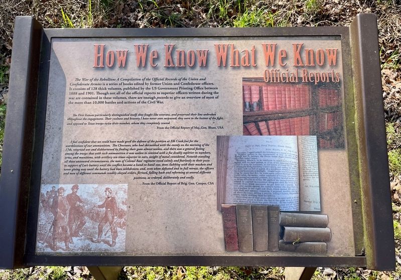
How We Know What We Know · Official Reports
Honey Springs Battlefield
— Interpretive Trail Four · Battle at the Bridge —
The First Kansas particularly distinguished itself; they fought like veterans, and preserved their line unbroken throughout the engagement. Their coolness and bravery I have never seen surpassed; they were in the hottest of the fight, and opposed to Texas troops twice their number, whom they completely routed.
From the Official Report of Maj. Gen. Blunt, USA
I feel confident that we could have made good the defense of the position at Elk Creek but for the worthlessness of our ammunition. The Choctaws, who had skirmished with the enemy on the morning of the 17th, returned wet and disheartened by finding their guns almost useless, and there was a general feeling among the troops that with such ammunition it was useless to contend with a foe doubly superior in numbers, arms, and munitions, with artillery ten times superior to ours, weight of metal considered. Notwith-standing all these untoward circumstances, the men of Colonel Bass' regiment stood calmly and fearlessly to their posts in support of Lee's battery until the conflict became a hand-to-hand one, even clubbing with their muskets and never giving way until the battery had been withdrawn; and, even when defeated and in full retreat, the officers and men of different commands readily obeyed orders, formed, falling back and reforming at several different positions, as ordered, deliberately and coolly.
From the Official Report of Brig. Gen. Cooper, CSA
Erected 2020 by Friends of Honey Springs Battlefield.
Topics and series. This historical marker is listed in these topic lists: Arts, Letters, Music • War, US Civil. In addition, it is included in the Honey Springs Battlefield series list. A significant historical year for this entry is 1888.
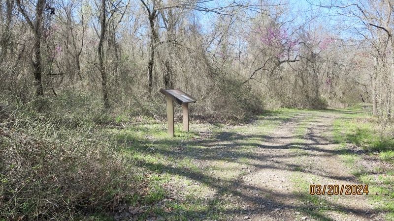
Location. 35° 33.115′ N, 95° 28.337′ W. Marker is near Oktaha, Oklahoma, in Muskogee County. Marker can be reached from Honey Springs Battlefield Road, 1˝ miles north of East 1020 Road, on the right when traveling north. Touch for map. Marker is in this post office area: Oktaha OK 74450, United States of America. Touch for directions.
Other nearby markers. At least 8 other markers are within walking distance of this marker. Southern Camps (within shouting distance of this marker); The Toll Bridge and Fords · Crossing Elk Creek
(about 300 feet away, measured in a direct line); Defending the Bridge · and other Fighting along Elk Creek (about 300 feet away); Farming and Communities · along the Texas Road (about 600 feet away); How We Know What We Know · Letters, Diaries, & On-The-Spot Reporting (about 600 feet away); How We Know What We Know · Archeological Surveys & Interviews (about 800 feet away); Battle for the Bridge (approx. 0.2 miles away); 1st and 2nd Regiments of Cherokee Mounted Rifles (approx. 0.4 miles away). Touch for a list and map of all markers in Oktaha.
Credits. This page was last revised on April 12, 2024. It was originally submitted on March 24, 2024, by Mark Hilton of Montgomery, Alabama. This page has been viewed 47 times since then. Photos: 1, 2. submitted on March 24, 2024, by Mark Hilton of Montgomery, Alabama.

