Grantsville in Garrett County, Maryland — The American Northeast (Mid-Atlantic)
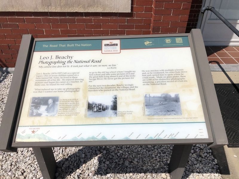
Leo J. Beachy
Photographing the National Road
— The Road That Built The Nation —
“My camera lens does not lie. It took just what it saw, no more, no less.” –Leo Beachy
Leo J. Beachy (1874–1927) left us a special legacy. One of seven children raised on a farm named Mt. Nebo, he lived in these mountains all his life. He enjoyed drawing pictures and began his career as a teacher. At thirty-one, he found his real calling.
“What induced me to take up photography was that I wanted our home photographer to go to that old log school where I taught my first school and take some pictures of it and the great hills lying about it and the rocky Savage River. He never got the pictures for me.”
For the next two decades, Beachy lovingly chronicled the mountains, the villages and the travelers who passed on the National Road. He was stricken with multiple sclerosis and, as he weakened, his sister Kate drove him and carried him to spots where he could work. Made on glass plates, there are 2500 of his distinctive photographs remaining, a priceless record of a lost era on the National Road.
Erected by America's Byways; Maryland National Road Association.
Topics and series. This historical marker is listed in these topic lists: Arts, Letters, Music • Roads & Vehicles . In addition, it is included in the The Historic National Road series list.
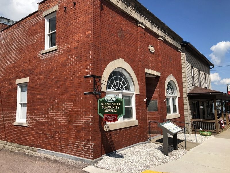
Location. 39° 41.808′ N, 79° 9.36′ W. Marker is in Grantsville, Maryland, in Garrett County. Marker is on Main Street (Alternate U.S. 40) just east of Bank Street, on the right when traveling west. Touch for map. Marker is at or near this postal address: 151 Main St, Grantsville MD 21536, United States of America. Touch for directions.
Other nearby markers. At least 8 other markers are within walking distance of this marker. The National Road (about 300 feet away, measured in a direct line); Casselman Hotel (approx. ¼ mile away); Traveling the National Road (approx. ¼ mile away); Early Inns (approx. ¼ mile away); Casselman River Bridge State Park (approx. 0.6 miles away); a different marker also named The National Road (approx. 0.6 miles away); Mountain Maryland Gateway to the West (approx. 0.6 miles away); “The Little Crossings” / Castleman’s River Bridge (approx. 0.6 miles away). Touch for a list and map of all markers in Grantsville.
Related marker. Click here for another marker that is related to this marker. This marker has replaced the linked marker. There are differences in subtitles and erecting organizations.
Credits. This page was last revised on March 24, 2024. It was originally submitted on March 24, 2024, by Devry Becker Jones of Washington, District of Columbia. This page has been viewed 52 times since then. Photos: 1, 2. submitted on July 19, 2020, by Devry Becker Jones of Washington, District of Columbia.

