Zittlestown in Frederick County, Maryland — The American Northeast (Mid-Atlantic)
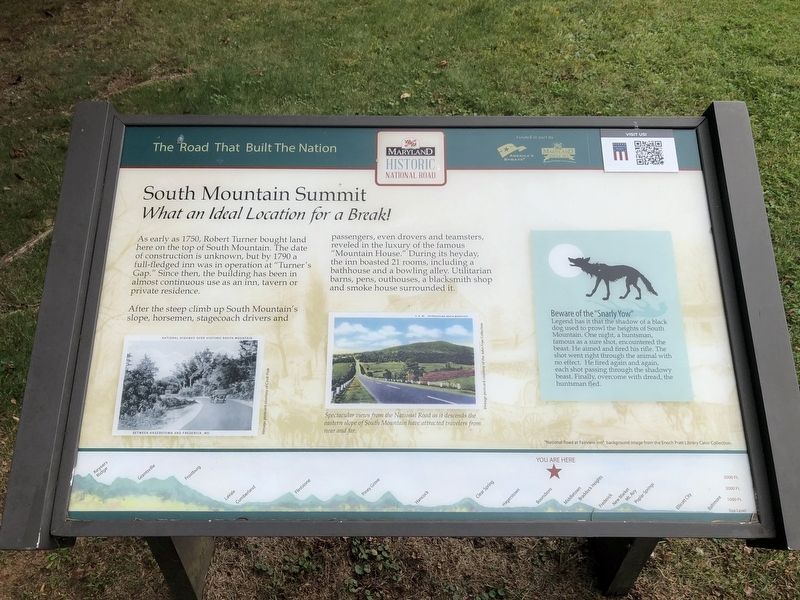
South Mountain Summit
What an Ideal Location for a Break!
— The Road That Built The Nation —
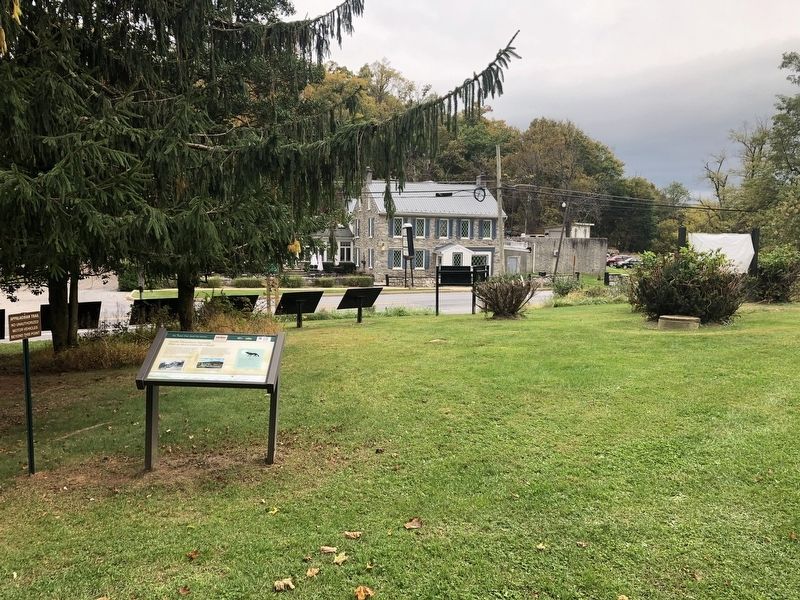
As early as 1750, Robert Turner bought land here on the top of South Mountain. The date of construction is unknown, but by 1790 a full-fledged inn was in operation at “Turner’s Gap.” Since then, the building has been in almost continuous use as an inn, tavern or private residence.
After the steep climb up South Mountain’s slope, horsemen, stagecoach drivers and passengers, even drover and teamsters, reveled in the luxury of the famous “Mountain House.” During its heyday, the inn boasted 21 rooms, including a bathhouse and a bowling alley. Utilitarian barns, pens, outhouses, a blacksmith shop, and smoke house surrounded it.
[Sidebar:]
Beware of the “Snarly Yow.” Legend has it that the shadow of a black dog used to prowl the heights of South Mountain. One night, a huntsman, famous as a sure shot, encountered the beast. He aimed and fired his rifle. The shot went right through the animal with no effect. He fired again and again, each shot passing through the shadowy beast. Finally overcome with dread, the huntsman fled.
Erected by America's Byways; Maryland Heritage Areas Authority; National Road Museum.
Topics and series. This historical marker is listed in these topic lists: Natural Resources • Notable Buildings • Roads & Vehicles. In addition, it is included in the The Historic National Road series list. A significant historical year for this entry is 1750.
Location. 39° 29.067′ N, 77° 37.161′ W. Marker is in Zittlestown, Maryland, in Frederick County. Marker is on Old National Pike (Alternate U.S. 40) east of Washington Monument Road, on the right when traveling west. Touch for map. Marker is at or near this postal address: 1504 Old National Pike, Middletown MD 21769, United States of America. Touch for directions.
Other nearby markers. At least 8 other markers are within walking distance of this marker. Turner's Pass Tablet T. P. 1 (within shouting distance of this marker); Turner's Pass Tablet T. P. 2 (within shouting distance of this marker); Turner's Pass Tablet T. P. 3 (within shouting distance of this marker); Turner's Pass Tablet T. P. 4 (within shouting distance of this marker); Turner's Pass Tablet T. P. 5 (within shouting distance of this marker); Turner's Pass Tablet T. P. 6 (within shouting distance of this marker); 19th Century Backpacker (within shouting distance of this marker); Battle at South Mountain (within shouting distance of this marker).
Related marker. Click here
Credits. This page was last revised on March 24, 2024. It was originally submitted on March 24, 2024, by Devry Becker Jones of Washington, District of Columbia. This page has been viewed 59 times since then. Photos: 1, 2. submitted on October 12, 2020, by Devry Becker Jones of Washington, District of Columbia.

