Mitchell in Lawrence County, Indiana — The American Midwest (Great Lakes)
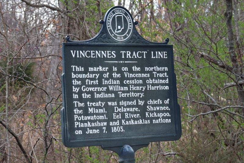
Vincennes Tract Line
This marker is on the northern boundary of the Vincennes Tract, the first Indian cession obtained by Governor William Henry Harrison in the Indiana Territory.
The treaty was signed by chiefs of the Miami, Delaware, Shawnee, Potawatomi, Eel River, Kickapoo, Piankashaw and Kaskaskias nations on June 7, 1803.
Erected by Lawrence County Indiana.
Topics. This historical marker is listed in these topic lists: Government & Politics • Native Americans • Peace • Political Subdivisions. A significant historical date for this entry is June 7, 1803.
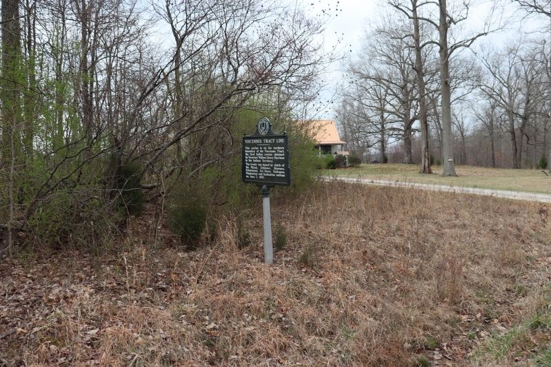
Location. 38° 43.637′ N, 86° 37.994′ W. Marker is in Mitchell, Indiana, in Lawrence County. Marker is on Indiana's Historic Pathways - North Spur (U.S. 50) 0.4 miles east of Connerly Cemetery Road, on the left when traveling west. Touch for map. Marker is at or near this postal address: 3235 Route 50, Mitchell IN 47446, United States of America. Touch for directions.
Other nearby markers. At least 8 other markers are within 11 miles of this marker, measured as the crow flies. Mitchell Opera House (approx. 8.6 miles away); Space Age Sweetgum Tree (approx. 8.6 miles away); Astronaut Virgil I. (Gus) Grissom Boyhood Home (approx. 8.6 miles away); Shoals Golden Spike (approx. 9.6 miles away); Martin County Court House (approx. 9.7 miles away); Martin County Honor Roll (approx. 9.7 miles away); Freeman's Corner (approx. 10.3 miles away); Freeman Corner (approx. 10.3 miles away). Touch for a list and map of all markers in Mitchell.
Credits. This page was last revised on March 25, 2024. It was originally submitted on March 24, 2024, by Trevor L Whited of Kokomo, Indiana. This page has been viewed 57 times since then. Photos: 1, 2. submitted on March 24, 2024, by Trevor L Whited of Kokomo, Indiana. • Devry Becker Jones was the editor who published this page.

