Parkland in Broward County, Florida — The American South (South Atlantic)
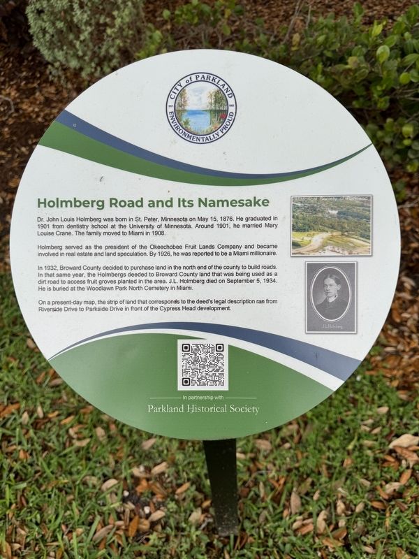
Holmberg Road and its Namesake
City of Parkland
Holmberg served as the president of the Okeechobee Fruit Lands Company and became involved in real estate and land speculation. By 1926, he was reported to be a Miami millionaire.
In 1932, Broward County decided to purchase land in the north end of the county to build roads. In that same year, the Holmbergs deeded to Broward County land that was being used as a dirt road to access fruit groves planted in the area. J.L. Holmberg died on September 5, 1934. He is buried at the Woodlawn Park North Cemetery in Miami.
On a present-day map, the strip of land that corresponds to the deed's legal description ran from Riverside Drive to Parkside Drive in front of the Cypress Head development.
Erected by City of Parkland and the Parkland Historical Society.
Topics. This historical marker is listed in these topic lists: Roads & Vehicles • Settlements & Settlers. A significant historical year for this entry is 1932.
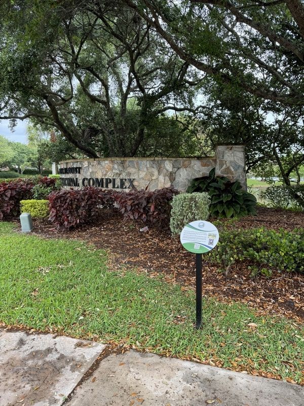
Location. 26° 18.657′ N, 80° 15.173′ W. Marker is in Parkland, Florida, in Broward County. Marker is at the intersection of North University Drive and Holmberg Road, on the right when traveling north on North University Drive. Touch for map. Marker is in this post office area: Pompano Beach FL 33067, United States of America. Touch for directions.
Other nearby markers. At least 8 other markers are within 3 miles of this marker, measured as the crow flies. The Parkland Library (about 600 feet away, measured in a direct line); Liberty Park: The Park the People Built (approx. 0.3 miles away); Statue of Liberty (approx. 0.3 miles away); Coral Springs Covered Bridge (approx. 1.7 miles away); “Fire Works” in the 1970s (approx. 1.9 miles away); Camp Telogia, Parkland’s “Hidden Gem” (approx. 2˝ miles away); Building of Holmberg Road (approx. 2.9 miles away); Covered Bridge (approx. 2.9 miles away). Touch for a list and map of all markers in Parkland.
Also see . . . Parkland’s Past: 13th Portal Marker Offers a Glimpse into City’s History. (Submitted on March 25, 2024, by Brandon D Cross of Flagler Beach, Florida.)
Credits. This page was last revised on March 27, 2024. It was originally submitted on March 25, 2024, by Brandon D Cross of Flagler Beach, Florida. This page has been viewed 38 times since then. Photos: 1, 2. submitted on March 25, 2024, by Brandon D Cross of Flagler Beach, Florida. • Bernard Fisher was the editor who published this page.

