Belvue in Pottawatomie County, Kansas — The American Midwest (Upper Plains)
Great Military Road
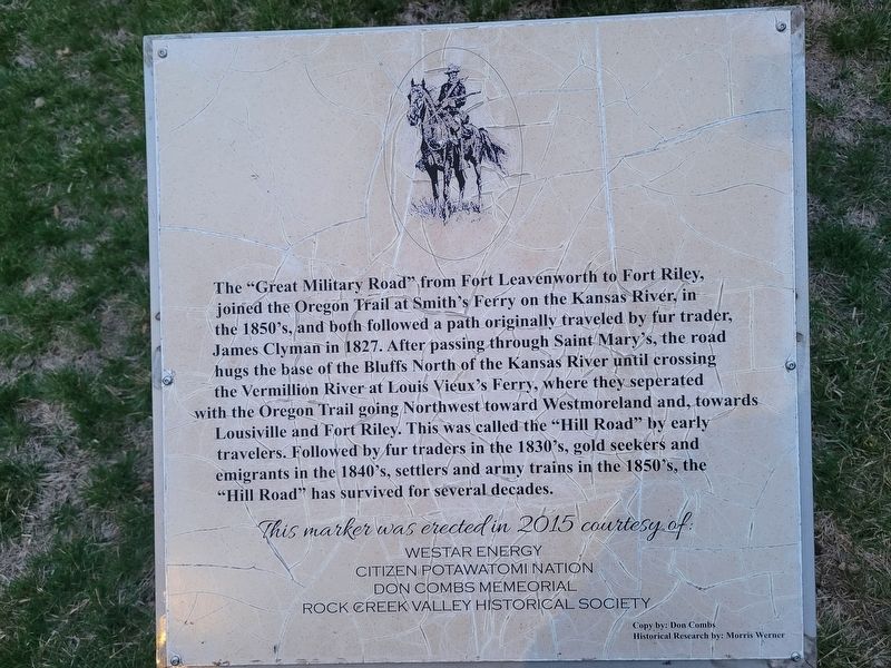
The "Great Military Road" from Fort Leavenworth to Fort Riley, joined the Oregon Trail at Smith's Ferry on the Kansas River, in the 1850's, and both followed a path originally traveled by fur trader, James Clyman in 1827. After passing through Saint Mary's, the road hugs the base of the Bluffs North of the Kansas River until crossing the Vermillion River at Louis Vieux's Ferry, where they separated with the Oregon Trail going Northwest toward Westmoreland and, towards Louisville and Fort Riley. This was called the "Hill Road" by early travelers. Followed by fur traders in the 1830's, gold seekers and emigrants in the 1840's, settlers and army trains in the 1850's, the "Hill Road" has survived for several decades.
This marker was erected in 2015 courtesy of Westar Energy · Citizen Potawatomi Nation · Don Combs Memorial · Rock Creek Valley Historical Society
Copy by: Don Combs
Historical Research by: Morris Werner
Erected 2015.
Topics. This historical marker is listed in these topic lists: Forts and Castles • Roads & Vehicles. A significant historical year for this entry is 1827.
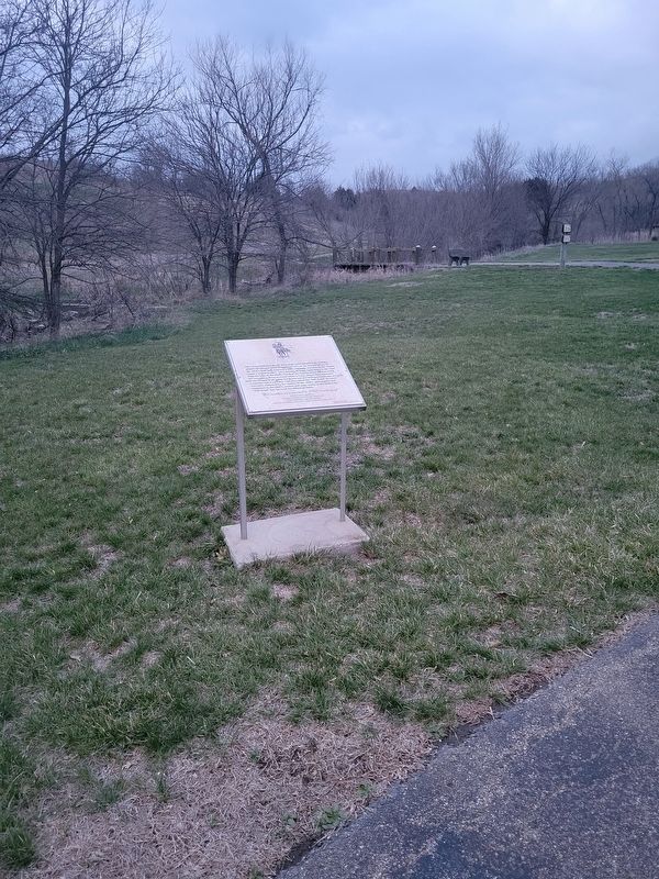
Location. 39° 13.761′ N, 96° 9.167′ W. Marker is in Belvue, Kansas, in Pottawatomie County. Marker is on Oregon Trail Road, on the left when traveling east. Touch for map. Marker is at or near this postal address: 24185 Oregon Trail Rd, Saint Marys KS 66536, United States of America. Touch for directions.
Other nearby markers. At least 8 other markers are within 6 miles of this marker, measured as the crow flies. The Vieux Crossing (approx. 2.8 miles away); Old Fire and Curfew Bell (approx. 5 miles away); Potawatomi Pay Station & St. Marys Mission (approx. 5 miles away); St. Marys Vietnam Memorial (approx. 5 miles away); Vieux Cemetery (approx. 5.3 miles away); Indian Pay Station Museum (approx. 5˝ miles away); Site of the Oregon Trail (approx. 5.6 miles away); St. Marys (approx. 5.6 miles away).
Credits. This page was last revised on March 27, 2024. It was originally submitted on March 25, 2024, by Jeremy Snow of Cedar City, Utah. This page has been viewed 47 times since then. Photos: 1, 2. submitted on March 25, 2024, by Jeremy Snow of Cedar City, Utah. • J. Makali Bruton was the editor who published this page.

