Nashua in Hillsborough County, New Hampshire — The American Northeast (New England)
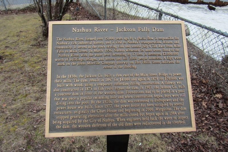
Nashua River - Jackson Falls Dam
The Nashua River, formed over 15,000 years ago by a glacial flow, is responsible for Nashua's rich industrial history, and is vital to Nashua's transportation, leisure, and community. It served as the town skating rink and annual July 4 Tub Race from Mine Falls to Main Street. In March 1936, Nashua witnessed its most severe flood of the Nashua River, with the water level increasing by 12 feet. It destroyed $2,000,000 worth of buildings, bridges, and houses and left 2,000 people homeless. A high water mark on the Johns Manville Company doorway on East Hollis Street indicated the extent of the flooding.
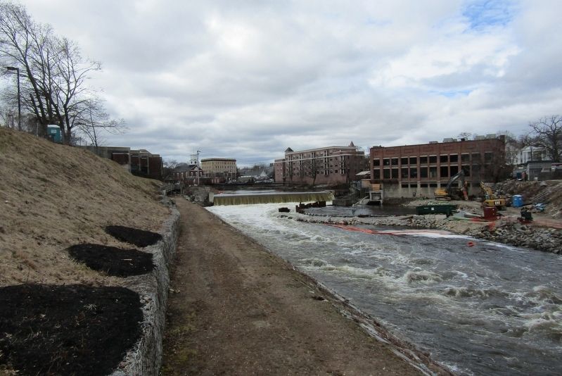
In the 1830s, the Jackson Co. built a dam east of the Main Street Bridge to power their mills. The dam, rebuilt in 1847 for $8,000 and again in 1878 for $20,000, was built with wood, using a temporary cofferdam during construction. A fishway was also constructed in 1878 so fish could bypass the dam. In 1907, the Jackson Co. built a concrete dam in front of the wooden dam. Foundations had to be placed in a pool that was once a popular swimming hole and when construction began, boys were still diving into the pool. By the 1920s, the dam was converted to hydropower and the power house was built. Since 1977, the power house has been occupied by several restaurants, originally the Chart House and beginning in 2000, Margaritas. The dam stopped generating electricity after the mills closed but began again in 1984 after being acquired by the City of Nashua. When engineers held back the water to inspect the dam, the wooden skeletons of the old dams were rediscovered in the riverbed.
Topics. This historical marker is listed in these topic lists: Disasters • Industry & Commerce • Waterways & Vessels. A significant historical year for this entry is 1936.
Location. 42° 45.803′ N, 71° 27.844′ W. Marker is in Nashua, New Hampshire, in Hillsborough County. Marker can be reached from Pearson Avenue, 0.1 miles east of Main Street, on the left when traveling east. Touch for map. Marker is in this post office area: Nashua NH 03060, United States of America. Touch for directions.
Other nearby markers. At least 8 other markers are within walking distance of this marker. Nashua Public Library (within shouting distance of this marker); Railroad Square (approx. 0.2 miles away); La Parc De Notre Renaissance Française (approx. 0.2 miles away); Tremont Square District (approx. ¼ mile away); Masonic Temple (approx. ¼ mile away); Joseph Greeley II House (approx. ¼ mile away); Nashua Manufacturing Co. (approx. ¼ mile away); Nashua Soldiers and Sailors Monument (approx. ¼ mile away). Touch for a list and map of all markers in Nashua.
Credits. This page was last revised on April 7, 2024. It was originally submitted on March 28, 2024, by Conrad Ward of Clinton, Connecticut. This page has been viewed 34 times since then. Photos: 1, 2. submitted on March 28, 2024, by Conrad Ward of Clinton, Connecticut. • Devry Becker Jones was the editor who published this page.
Editor’s want-list for this marker. A wide shot of the marker in context. • Can you help?

