Near Monroe City in Marion County, Missouri — The American Midwest (Upper Plains)
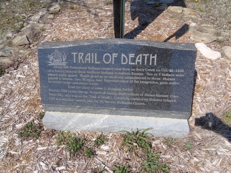
Trail of Death
From the diary of Jesse C. Douglas, scribe
Erected 1999 by the George Wesselhoft Family, Descendants of Abram Burnett (Nan-Wesh-Ma), who was on the "Trail of Death".
Topics and series. This historical marker is listed in this topic list: Native Americans. In addition, it is included in the Potawatomi Trail of Death series list. A significant historical year for this entry is 1838.
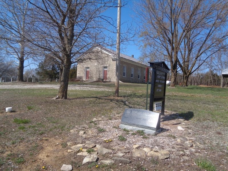
Location. 39° 43.78′ N, 91° 40.577′ W. Marker is near Monroe City, Missouri, in Marion County. Marker is on County Route 240 east of County Route 238, on the right when traveling west. Marker is in front of Mount Vernon United Methodist Church. Touch for map. Marker is at or near this postal address: 3640 Co Rd 240, Monroe City MO 63456, United States of America. Touch for directions.
Other nearby markers. At least 8 other markers are within 10 miles of this marker, measured as the crow flies. James Monroe (approx. 6.1 miles away); Birthplace of Father Augustine Tolton (approx. 8˝ miles away); Site of First Preaching in County (approx. 8.7 miles away); Home of Jane Darwell (approx. 9.1 miles away); Speigle House (approx. 9.3 miles away); Gardner House (approx. 9.4 miles away); Palmyra Massacre (approx. 9.4 miles away); Big Spring (approx. 9.4 miles away).
Credits. This page was last revised on March 29, 2024. It was originally submitted on March 29, 2024, by Jason Voigt of Glen Carbon, Illinois. This page has been viewed 39 times since then. Photos: 1, 2. submitted on March 29, 2024, by Jason Voigt of Glen Carbon, Illinois.

