Key West in Monroe County, Florida — The American South (South Atlantic)
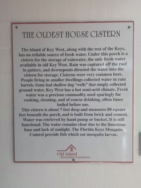
The Oldest House Cistern
Photographed by Darren Jefferson Clay, March 20, 2024
1. The Oldest House Cistern Marker
This cistern is about 7 feet deep and measures 80 square feet beneath the porch, and is built from brick and cement. Water was retrieved by hand pump or bucket. It is still functional. The water remains clear due to the limestone base and lack of sunlight. The Florida Keys Mosquito Control provide fish which eat mosquito larvae.
Erected by Old Island Restoration Foundation.
Topics. This historical marker is listed in this topic list: Notable Buildings.
Location. 24° 33.436′ N,
this page online

Regionally, this marker is on the Florida Keys. It is also in the American South and on the Gulf Coast. Globally, it is in the North Atlantic Region, North America, a Gulf of Mexico state, the Western Hemisphere, the Western World, and the Anglosphere. Historically, it finds itself in what was once New Spain, the territory of the Mississippian Culture, one of the Confederate States of America, and the Antebellum South.
Other nearby markers. At least 8 other markers are within walking distance of this marker: Captain's Room (here, next to this marker); Cookhouses (a few steps from this marker); The Oldest House (a few steps from this marker); Key West Woman's Club (within shouting distance of this marker); Captain Martin Hellings House (within shouting distance of this marker); The Patterson-Baldwin House
Photographed by Darren Jefferson Clay, March 20, 2024
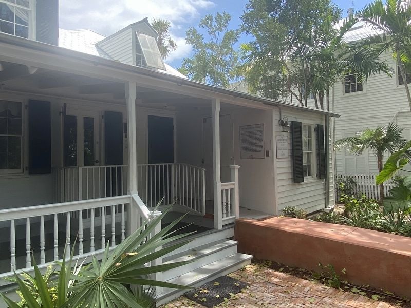
2. The Oldest House Cistern Marker (on the right side, under the porch roof)
Credits. This page was last revised on April 8, 2024. It was originally submitted on March 30, 2024, by Darren Jefferson Clay of Duluth, Georgia. This page has been viewed 309 times since then and 54 times this year. Photos: 1, 2. submitted on April 4, 2024, by Darren Jefferson Clay of Duluth, Georgia. • Bernard Fisher was the editor who published this page.
